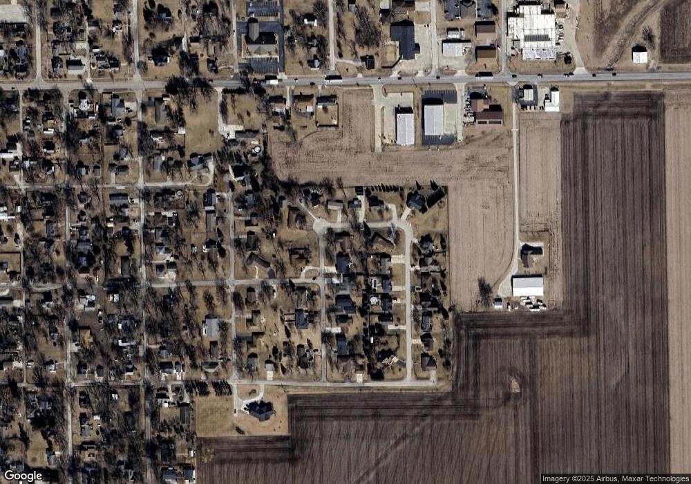
597 Mello Dr Chenoa, IL 61726
Estimated Value: $205,785 - $253,000
Studio
2
Baths
1,791
Sq Ft
$130/Sq Ft
Est. Value
About This Home
This home is located at 597 Mello Dr, Chenoa, IL 61726 and is currently estimated at $232,946, approximately $130 per square foot. 597 Mello Dr is a home located in McLean County with nearby schools including Prairie Central High School.
Create a Home Valuation Report for This Property
The Home Valuation Report is an in-depth analysis detailing your home's value as well as a comparison with similar homes in the area
Tax History
| Year | Tax Paid | Tax Assessment Tax Assessment Total Assessment is a certain percentage of the fair market value that is determined by local assessors to be the total taxable value of land and additions on the property. | Land | Improvement |
|---|---|---|---|---|
| 2024 | $4,402 | $65,850 | $5,596 | $60,254 |
| 2022 | $4,402 | $56,655 | $4,815 | $51,840 |
| 2021 | $4,211 | $55,360 | $4,705 | $50,655 |
| 2020 | $3,958 | $51,474 | $4,375 | $47,099 |
| 2019 | $4,064 | $51,474 | $4,375 | $47,099 |
| 2018 | $4,566 | $53,393 | $4,332 | $49,061 |
| 2017 | $4,086 | $53,393 | $4,332 | $49,061 |
| 2016 | $1,936 | $53,393 | $4,332 | $49,061 |
| 2015 | $3,818 | $54,785 | $4,445 | $50,340 |
| 2014 | $3,800 | $54,785 | $4,445 | $50,340 |
| 2013 | -- | $55,384 | $4,494 | $50,890 |
Source: Public Records
Map
Nearby Homes
- 605 Morningside Dr
- 1017 Florence Ave
- 503 N Commercial St
- 310 N 1st Ave
- Lot 7 Block 11 S Morehead St
- 117 Clark St
- 602 N 4th Ave
- 106 Champion Dr
- 10788 N 1000 East Rd
- 9898 E 1200 North Rd
- 31439 2nd St
- 33574 Oak St
- 706 W Wall St
- 14373 N 1700 Rd E
- 208 E 8th St
- 8735 N 2000 East Rd
- 108 E Gridley Rd
- 10735 E 1700 Rd N
- 25179 N 2175 East Rd
- 1702 S Plum St
