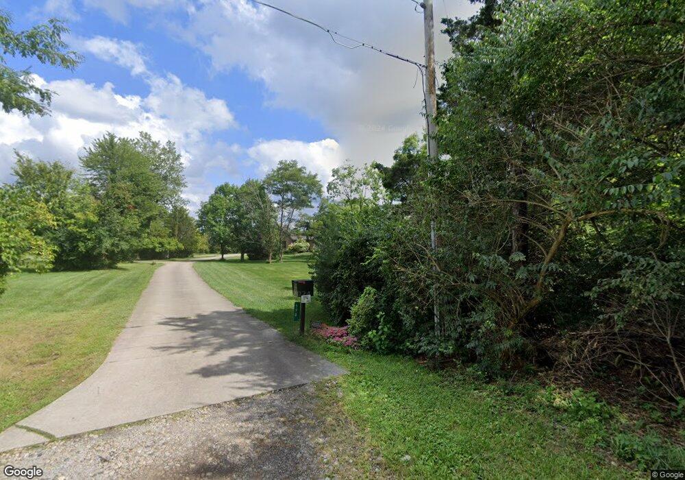
598 Mulford Rd Lebanon, OH 45036
Turtlecreek Township NeighborhoodEstimated Value: $713,000 - $1,056,313
4
Beds
5
Baths
5,125
Sq Ft
$174/Sq Ft
Est. Value
About This Home
This home is located at 598 Mulford Rd, Lebanon, OH 45036 and is currently estimated at $893,578, approximately $174 per square foot. 598 Mulford Rd is a home located in Warren County with nearby schools including Bowman Primary School, Berry Intermediate School, and Donovan Elementary School.
Ownership History
Date
Name
Owned For
Owner Type
Purchase Details
Closed on
Jul 20, 1995
Sold by
Tankersley Stephen L
Bought by
Waspe Ira B and Waspe Carol
Current Estimated Value
Home Financials for this Owner
Home Financials are based on the most recent Mortgage that was taken out on this home.
Original Mortgage
$40,000
Interest Rate
8.5%
Mortgage Type
New Conventional
Purchase Details
Closed on
Dec 2, 1988
Sold by
Schram John D and Schram Arjorie
Bought by
Tankersley and Tankersley Stephen L
Create a Home Valuation Report for This Property
The Home Valuation Report is an in-depth analysis detailing your home's value as well as a comparison with similar homes in the area
Home Values in the Area
Average Home Value in this Area
Purchase History
| Date | Buyer | Sale Price | Title Company |
|---|---|---|---|
| Waspe Ira B | $55,000 | -- | |
| Tankersley | $34,900 | -- |
Source: Public Records
Mortgage History
| Date | Status | Borrower | Loan Amount |
|---|---|---|---|
| Closed | Waspe Ira B | $40,000 |
Source: Public Records
Tax History Compared to Growth
Tax History
| Year | Tax Paid | Tax Assessment Tax Assessment Total Assessment is a certain percentage of the fair market value that is determined by local assessors to be the total taxable value of land and additions on the property. | Land | Improvement |
|---|---|---|---|---|
| 2024 | $12,368 | $311,150 | $76,810 | $234,340 |
| 2023 | $11,254 | $255,874 | $46,508 | $209,366 |
| 2022 | $11,117 | $255,875 | $46,508 | $209,367 |
| 2021 | $10,314 | $255,875 | $46,508 | $209,367 |
| 2020 | $10,067 | $208,026 | $37,811 | $170,216 |
| 2019 | $10,123 | $208,026 | $37,811 | $170,216 |
| 2018 | $9,165 | $208,026 | $37,811 | $170,216 |
| 2017 | $9,224 | $188,262 | $32,893 | $155,369 |
| 2016 | $9,536 | $188,262 | $32,893 | $155,369 |
| 2015 | $9,612 | $188,262 | $32,893 | $155,369 |
| 2014 | $9,222 | $172,660 | $31,410 | $141,240 |
| 2013 | $8,516 | $185,420 | $33,250 | $152,170 |
Source: Public Records
Map
Nearby Homes
- 0 St Rt 63 Unit 1743016
- A Ohio 63
- B Ohio 63
- 470 Pleasant Ridge Dr
- 711 Tollhouse Blvd
- 743 Tollhouse Blvd
- 714 Tollhouse Blvd
- 1369 New England Way
- 96 Rough Way
- 416 Summerlyn Farms Ct
- 470 Georgetown Dr
- 5101 Greenview Ln
- 50 Harmon Ave
- 660 Carson Dr
- 346 Beale Ln
- QUENTIN Plan at Tollhouse Farms
- ARDWELL Plan at Union Village
- ALLOWAY Plan at Union Village
- CARDIFF Plan at Union Village
- ARDEN Plan at Union Village
- 700 Mulford Rd
- 766 Mulford Rd
- 888 Mulford Rd
- 2195 Triple Creek Ct
- 788 Mulford Rd
- 2203 Triple Creek Ct
- 2355 Triple Creek Ct
- 2219 Triple Creek Ct
- 2356 Triple Creek Ct
- 873 Mulford Rd
- 2227 Triple Creek Ct
- 2347 Triple Creek Ct Unit 21
- 2347 Triple Creek Ct Unit COURT
- 32 Triple Creek Ct Unit 32
- 31 Triple Creek Ct
- 43 Triple Creek Ct
- 19 Triple Creek Ct
- 22 Triple Creek Ct
- 4 Triple Creek Ct
- 21 Triple Creek Ct
