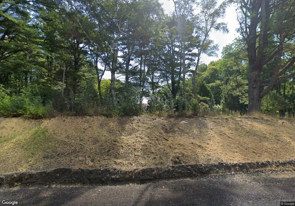
599 Belfast Rd Camden, ME 04843
Estimated Value: $697,000 - $873,029
3
Beds
3
Baths
2,382
Sq Ft
$344/Sq Ft
Est. Value
About This Home
This home is located at 599 Belfast Rd, Camden, ME 04843 and is currently estimated at $819,007, approximately $343 per square foot. 599 Belfast Rd is a home located in Knox County with nearby schools including Camden-Rockport Elementary School, Camden-Rockport Middle School, and Camden Hills Regional High School.
Ownership History
Date
Name
Owned For
Owner Type
Purchase Details
Closed on
Jun 2, 2010
Sold by
Stephanie E Clapp T
Bought by
Donoghue Carmel C and Donoghue Kenneth L
Current Estimated Value
Purchase Details
Closed on
Oct 15, 2008
Sold by
Elizabeth M Simermeyer T
Bought by
John B Clapp 3 2008 T
Create a Home Valuation Report for This Property
The Home Valuation Report is an in-depth analysis detailing your home's value as well as a comparison with similar homes in the area
Home Values in the Area
Average Home Value in this Area
Purchase History
| Date | Buyer | Sale Price | Title Company |
|---|---|---|---|
| Donoghue Carmel C | -- | -- | |
| John B Clapp 3 2008 T | -- | -- |
Source: Public Records
Tax History Compared to Growth
Tax History
| Year | Tax Paid | Tax Assessment Tax Assessment Total Assessment is a certain percentage of the fair market value that is determined by local assessors to be the total taxable value of land and additions on the property. | Land | Improvement |
|---|---|---|---|---|
| 2024 | $6,795 | $647,100 | $241,000 | $406,100 |
| 2023 | $6,083 | $440,800 | $117,200 | $323,600 |
| 2022 | $5,819 | $440,800 | $117,200 | $323,600 |
| 2021 | $6,039 | $393,400 | $102,800 | $290,600 |
| 2020 | $5,913 | $393,400 | $102,800 | $290,600 |
| 2019 | $5,866 | $393,400 | $102,800 | $290,600 |
| 2018 | $5,153 | $346,300 | $106,600 | $239,700 |
| 2017 | $4,980 | $346,300 | $106,600 | $239,700 |
| 2016 | $5,312 | $340,700 | $163,000 | $177,700 |
| 2015 | $5,155 | $340,700 | $163,000 | $177,700 |
| 2014 | $4,916 | $340,700 | $163,000 | $177,700 |
| 2013 | $4,783 | $340,700 | $163,000 | $177,700 |
Source: Public Records
Map
Nearby Homes
- 555 Belfast Rd
- 440 Belfast Rd Unit Inio E1
- 440 Belfast Rd Unit Inio E2
- 440 Belfast Rd Unit Naan.D1
- 440 Belfast Rd Unit Naan.C1
- 440 Belfast Rd Unit Naan.C2
- 11 Iron Bluff Rd
- 33 Sea View Dr
- 190 Belfast Rd
- 2030 Atlantic Hwy
- 24 Timbercliffe Dr
- 122,6-1 Timbercliffe Dr
- 122,7-1 Timbercliffe Dr
- 14-6 Atlantic Hwy
- 10 Black Brook Dr
- 59 High St
- 11 A Mountainside Park
- 00 Mountain Arrow Dr Unit LOT B
- 27 High St
- 2561 Atlantic Hwy
- 624 Belfast Rd
- 592 Belfast Rd
- 596 Belfast Rd
- 588 Belfast Rd
- 586 Belfast Rd
- 0 Belfast Rd
- 621 Belfast Rd
- 580 Belfast Rd
- 593 Belfast Rd
- 567 Belfast Rd
- 621B Belfast Rd
- 621A Belfast Rd
- 609 Belfast Rd
- 587 Belfast Rd
- 570 Belfast Rd
- 000 Belfast Rd
- Lot #2 Belfast Rd
- 00 Belfast Rd
- 2002 Atlantic Hwy
- 31 Millay Rd
