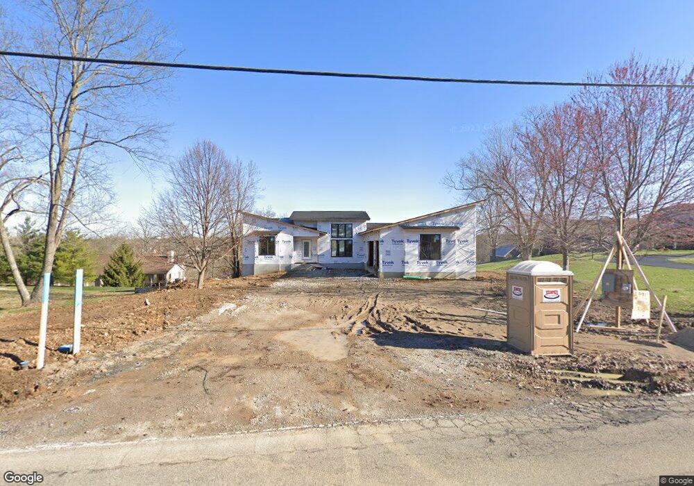
5990 W Fork Rd Cincinnati, OH 45247
Estimated Value: $366,000 - $482,000
3
Beds
2
Baths
1,869
Sq Ft
$225/Sq Ft
Est. Value
About This Home
This home is located at 5990 W Fork Rd, Cincinnati, OH 45247 and is currently estimated at $420,827, approximately $225 per square foot. 5990 W Fork Rd is a home located in Hamilton County with nearby schools including Monfort Heights Elementary School, White Oak Middle School, and Colerain High School.
Ownership History
Date
Name
Owned For
Owner Type
Purchase Details
Closed on
Apr 18, 2006
Sold by
Sowder & Sullivan Custom Homes Inc
Bought by
Hulgin Patricia M
Current Estimated Value
Create a Home Valuation Report for This Property
The Home Valuation Report is an in-depth analysis detailing your home's value as well as a comparison with similar homes in the area
Home Values in the Area
Average Home Value in this Area
Purchase History
| Date | Buyer | Sale Price | Title Company |
|---|---|---|---|
| Hulgin Patricia M | $75,000 | Vintage Title Agency Inc | |
| Sowder & Sullivan Custom Homes Inc | -- | Vintage Title Agency Inc |
Source: Public Records
Tax History
| Year | Tax Paid | Tax Assessment Tax Assessment Total Assessment is a certain percentage of the fair market value that is determined by local assessors to be the total taxable value of land and additions on the property. | Land | Improvement |
|---|---|---|---|---|
| 2025 | $7,373 | $132,794 | $13,720 | $119,074 |
| 2023 | $7,297 | $132,794 | $13,720 | $119,074 |
| 2022 | $8,064 | $120,288 | $26,250 | $94,038 |
| 2021 | $7,547 | $120,288 | $26,250 | $94,038 |
| 2020 | $7,431 | $120,288 | $26,250 | $94,038 |
| 2019 | $1,710 | $24,955 | $24,955 | $0 |
| 2018 | $1,528 | $24,955 | $24,955 | $0 |
| 2017 | $1,464 | $24,955 | $24,955 | $0 |
| 2016 | $1,011 | $16,800 | $16,800 | $0 |
| 2015 | $1,007 | $16,800 | $16,800 | $0 |
| 2014 | $1,561 | $25,988 | $25,988 | $0 |
| 2013 | $1,478 | $26,250 | $26,250 | $0 |
Source: Public Records
Map
Nearby Homes
- 5801 W Fork Rd
- 6051 Shelrich Ct
- 5804 Cedaridge Dr
- 5442 Bluesky Dr
- 6020 Sheed Rd
- 5563 Haft Rd
- 6670 Gaines Rd
- 5221 Clearlake Dr
- 5547 Hubble Rd
- 6384 Conifer Ln
- 5104 Jonkard Ln
- 5207 S Eaglesnest Dr
- 6586 Hearne Rd Unit 2T
- 6765 Verde Ridge Dr Unit 20C
- 6617 Hearne Rd
- 6707 Weiss Rd
- 6646 Hearne Rd
- 5473 Michelles Oak Ct
- 6289 Eagles Lake Dr
- 5310 Rybolt Rd
- 5986 W Fork Rd
- 6034 W Fork Rd
- 5790 Eden Ridge Dr
- 5964 W Fork Rd
- 6020 W Fork Rd
- 5969 W Fork Rd
- 5972 W Fork Rd
- 5980 W Fork Rd
- 5968 W Fork Rd
- 5976 W Fork Rd
- 5960 W Fork Rd
- 6026 W Fork Rd
- 6022 W Fork Rd
- 6029 W Fork Rd
- 6017 W Fork Rd
- 5950 W Fork Rd
- 5793 Gaines Rd
- 5945 W Fork Rd
- 6024 W Fork Rd
- 6046 W Fork Rd
Your Personal Tour Guide
Ask me questions while you tour the home.