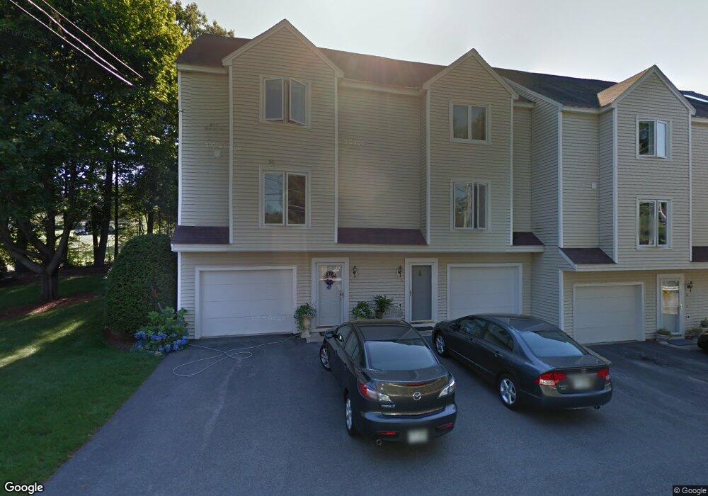
6 Abinger Way Unit U71 Nashua, NH 03063
Northwest Nashua NeighborhoodEstimated Value: $378,000 - $414,000
2
Beds
2
Baths
1,276
Sq Ft
$307/Sq Ft
Est. Value
About This Home
This home is located at 6 Abinger Way Unit U71, Nashua, NH 03063 and is currently estimated at $391,966, approximately $307 per square foot. 6 Abinger Way Unit U71 is a home located in Hillsborough County with nearby schools including Broad Street Elementary School, Pennichuck Middle School, and Nashua High School North.
Ownership History
Date
Name
Owned For
Owner Type
Purchase Details
Closed on
Jun 30, 2015
Sold by
Cerro Matthew
Bought by
Beigh David
Current Estimated Value
Home Financials for this Owner
Home Financials are based on the most recent Mortgage that was taken out on this home.
Original Mortgage
$147,120
Outstanding Balance
$114,313
Interest Rate
3.84%
Mortgage Type
New Conventional
Estimated Equity
$277,653
Purchase Details
Closed on
May 12, 2008
Sold by
Johnson William H and Rose Melanie
Bought by
Cerro Matthew
Home Financials for this Owner
Home Financials are based on the most recent Mortgage that was taken out on this home.
Original Mortgage
$178,720
Interest Rate
5.93%
Create a Home Valuation Report for This Property
The Home Valuation Report is an in-depth analysis detailing your home's value as well as a comparison with similar homes in the area
Home Values in the Area
Average Home Value in this Area
Purchase History
| Date | Buyer | Sale Price | Title Company |
|---|---|---|---|
| Beigh David | $183,933 | -- | |
| Cerro Matthew | $178,000 | -- |
Source: Public Records
Mortgage History
| Date | Status | Borrower | Loan Amount |
|---|---|---|---|
| Open | Cerro Matthew | $147,120 | |
| Previous Owner | Cerro Matthew | $178,720 | |
| Previous Owner | Cerro Matthew | $322,500 |
Source: Public Records
Tax History Compared to Growth
Tax History
| Year | Tax Paid | Tax Assessment Tax Assessment Total Assessment is a certain percentage of the fair market value that is determined by local assessors to be the total taxable value of land and additions on the property. | Land | Improvement |
|---|---|---|---|---|
| 2024 | $5,350 | $336,500 | $0 | $336,500 |
| 2023 | $5,112 | $280,400 | $0 | $280,400 |
| 2022 | $5,067 | $280,400 | $0 | $280,400 |
| 2021 | $4,546 | $195,800 | $0 | $195,800 |
| 2020 | $4,427 | $195,800 | $0 | $195,800 |
| 2019 | $4,261 | $195,800 | $0 | $195,800 |
| 2018 | $4,153 | $195,800 | $0 | $195,800 |
| 2017 | $3,371 | $130,700 | $0 | $130,700 |
| 2016 | $3,277 | $130,700 | $0 | $130,700 |
| 2015 | $3,206 | $130,700 | $0 | $130,700 |
| 2014 | $3,112 | $129,400 | $0 | $129,400 |
Source: Public Records
Map
Nearby Homes
- 26 Andover Down Unit 276
- 38 Highbridge Hill Rd Unit 186
- 75 Deerwood Dr Unit B
- 77 Deerwood Dr Unit E
- 123 Cannongate III
- 5 Dumaine Ave Unit B
- 5 Dumaine Ave Unit N
- 74 Profile Cir
- 66 Tinker Rd
- 218 Millwright Dr Unit 218
- 201 Millwright Dr
- 3 Roedean Dr Unit C-207
- 2 New Haven Dr Unit E303
- 7 Robert Dr
- 5 Chatfield Dr Unit U18
- 4 Jared Cir Unit U21
- 19 Dunloggin Rd
- 33 Ferry Rd
- 47 Hanna Cir Unit 47
- 47 Hanna Cir
- 10 Abinger Way Unit U69
- 8 Abinger Way Unit U70
- 4 Abinger Way Unit U72
- 19 Gleneagle Dr Unit U68
- 3 Gleneagle Dr Unit U61
- 5 Gleneagle Dr Unit U62
- 17 Gleneagle Dr Unit U67
- 15 Gleneagle Dr Unit U66
- 9 Gleneagle Dr Unit U64
- 7 Gleneagle Dr Unit U63
- 11 Gleneagle Dr Unit U65
- 31 Gleneagle Dr Unit U77
- 33 Gleneagle Dr Unit U78
- 29 Gleneagle Dr Unit U76
- 27 Gleneagle Dr Unit U75
- 25 Gleneagle Dr Unit U74
- 23 Gleneagle Dr Unit U73
- 35 Gleneagle Dr Unit U79
- 37 Gleneagle Dr Unit U80
- 39 Gleneagle Dr Unit U81