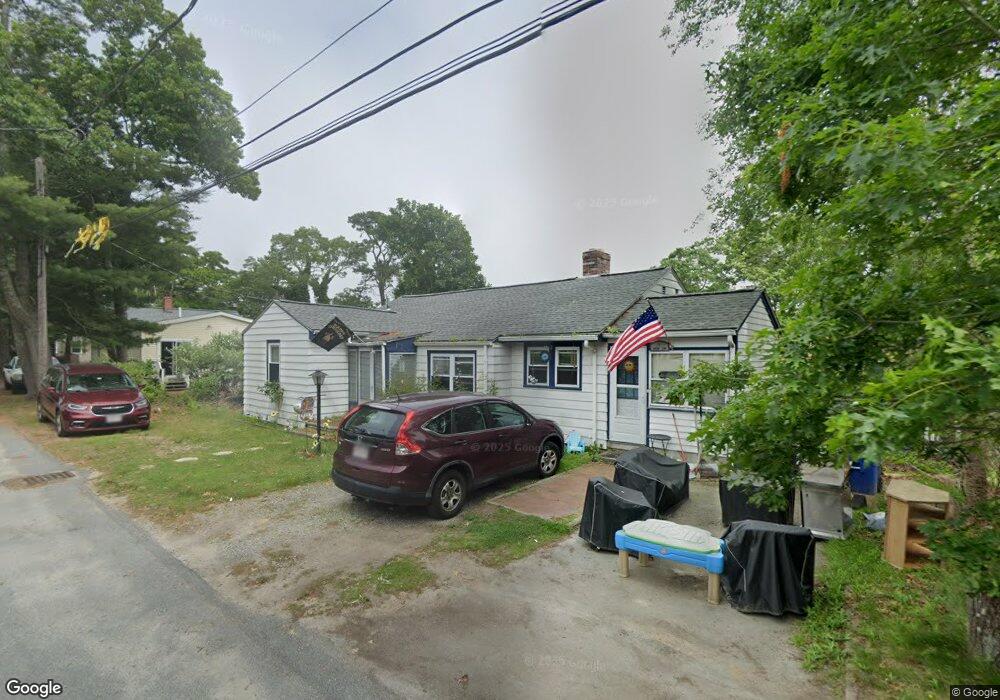
6 Apache Ln Buzzards Bay, MA 02532
Estimated Value: $406,825 - $484,000
2
Beds
1
Bath
800
Sq Ft
$562/Sq Ft
Est. Value
About This Home
This home is located at 6 Apache Ln, Buzzards Bay, MA 02532 and is currently estimated at $449,456, approximately $561 per square foot. 6 Apache Ln is a home with nearby schools including St Margaret Regional School.
Ownership History
Date
Name
Owned For
Owner Type
Purchase Details
Closed on
May 13, 1994
Sold by
Tello Joseph C and Tello Theresa A
Bought by
Lopez Rogelio and Lopez Young H
Current Estimated Value
Home Financials for this Owner
Home Financials are based on the most recent Mortgage that was taken out on this home.
Original Mortgage
$88,740
Interest Rate
7.93%
Mortgage Type
Purchase Money Mortgage
Create a Home Valuation Report for This Property
The Home Valuation Report is an in-depth analysis detailing your home's value as well as a comparison with similar homes in the area
Purchase History
| Date | Buyer | Sale Price | Title Company |
|---|---|---|---|
| Lopez Rogelio | $87,000 | -- |
Source: Public Records
Mortgage History
| Date | Status | Borrower | Loan Amount |
|---|---|---|---|
| Open | Lopez Rogelio | $20,000 | |
| Open | Lopez Rogelio | $87,500 | |
| Closed | Lopez Rogelio | $88,740 |
Source: Public Records
Tax History
| Year | Tax Paid | Tax Assessment Tax Assessment Total Assessment is a certain percentage of the fair market value that is determined by local assessors to be the total taxable value of land and additions on the property. | Land | Improvement |
|---|---|---|---|---|
| 2025 | $3,420 | $311,500 | $116,000 | $195,500 |
| 2024 | $3,224 | $276,000 | $89,100 | $186,900 |
| 2023 | $2,916 | $246,900 | $81,000 | $165,900 |
| 2022 | $2,916 | $214,100 | $81,000 | $133,100 |
| 2021 | $2,911 | $207,900 | $81,000 | $126,900 |
| 2020 | $2,710 | $197,700 | $81,000 | $116,700 |
| 2019 | $2,534 | $186,900 | $73,800 | $113,100 |
| 2018 | $2,443 | $174,000 | $73,800 | $100,200 |
| 2017 | $2,290 | $163,800 | $73,800 | $90,000 |
| 2016 | $2,084 | $147,900 | $70,100 | $77,800 |
| 2015 | $2,026 | $147,900 | $70,100 | $77,800 |
| 2014 | $2,186 | $164,500 | $70,100 | $94,400 |
Source: Public Records
Map
Nearby Homes
- 92 Choctaw Dr
- 3132 Cranberry Hwy Unit 59
- 3 Fairway Dr Unit F
- 60 Martin St
- 13 Bay Pointe Drive Extension
- 13 Bay Pointe Drive Extension Unit 13
- 67 Algonquin St
- 56 Rip Van Winkle Way
- 29 Wenonah Rd
- 29 Wenonah Rd
- 22 Long Neck Rd
- 4 Van Bummel Rd
- 23 Starboard Dr Unit Lot 50
- 36B Starboard Dr Unit 36E
- 36B Starboard Dr Unit 36G
- 36B Starboard Dr Unit 36C
- 36B Starboard Dr Unit 36A
- 36B Starboard Dr Unit 36D
- 36B Starboard Dr Unit 36B
- 36B Starboard Dr Unit 36F
- 0 Apache Ln
- 36 Choctaw Dr
- 42 Choctaw Dr Unit 1
- 42 Choctaw Dr
- 23 Cohasset Rd
- 36 Choctaw Dr
- 7 Apache Ln
- 9 Apache Ln
- 5 Boston Place
- 11 Boston Place
- 46 Choctaw Dr
- 46 Chawtaw Dr
- 27 Bay View Ave
- 155 Cohasset Rd
- 22 Choctaw Dr
- 1 Cleveland Way Unit Week Rental
- 1 Cleveland Way
- 21 Boston Place
- 8 Bungalow Ln
- 6 Bungalow Ln
Your Personal Tour Guide
Ask me questions while you tour the home.