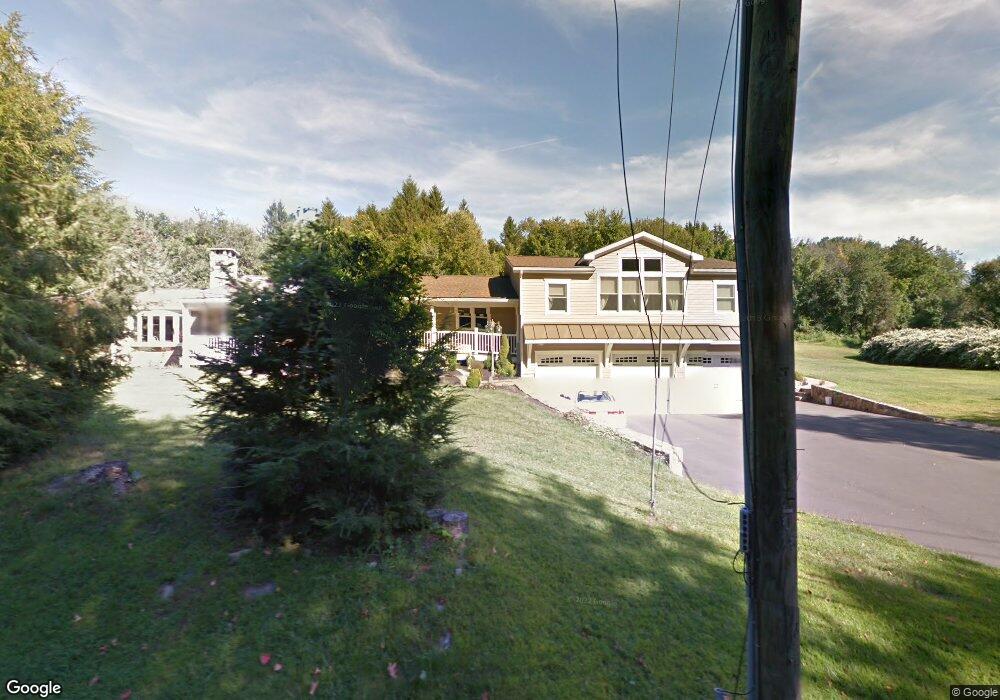
6 Bennetts Bridge Rd Sandy Hook, CT 06482
Estimated Value: $453,000 - $724,806
5
Beds
4
Baths
2,808
Sq Ft
$226/Sq Ft
Est. Value
About This Home
This home is located at 6 Bennetts Bridge Rd, Sandy Hook, CT 06482 and is currently estimated at $634,952, approximately $226 per square foot. 6 Bennetts Bridge Rd is a home located in Fairfield County with nearby schools including Reed Intermediate School, Newtown Middle School, and Newtown High School.
Ownership History
Date
Name
Owned For
Owner Type
Purchase Details
Closed on
Feb 24, 1994
Sold by
Seeley Donald and Seeley Kathleen
Bought by
Kowalski Stephen and Kowalski Rebecca
Current Estimated Value
Home Financials for this Owner
Home Financials are based on the most recent Mortgage that was taken out on this home.
Original Mortgage
$150,000
Interest Rate
6.96%
Mortgage Type
Purchase Money Mortgage
Create a Home Valuation Report for This Property
The Home Valuation Report is an in-depth analysis detailing your home's value as well as a comparison with similar homes in the area
Home Values in the Area
Average Home Value in this Area
Purchase History
| Date | Buyer | Sale Price | Title Company |
|---|---|---|---|
| Kowalski Stephen | $170,500 | -- | |
| Kowalski Stephen | $170,500 | -- |
Source: Public Records
Mortgage History
| Date | Status | Borrower | Loan Amount |
|---|---|---|---|
| Closed | Kowalski Stephen | $92,000 | |
| Closed | Kowalski Stephen | $93,000 | |
| Closed | Kowalski Stephen | $150,000 |
Source: Public Records
Tax History Compared to Growth
Tax History
| Year | Tax Paid | Tax Assessment Tax Assessment Total Assessment is a certain percentage of the fair market value that is determined by local assessors to be the total taxable value of land and additions on the property. | Land | Improvement |
|---|---|---|---|---|
| 2025 | $10,819 | $376,450 | $63,670 | $312,780 |
| 2024 | $10,153 | $376,450 | $63,670 | $312,780 |
| 2023 | $9,878 | $376,450 | $63,670 | $312,780 |
| 2022 | $9,639 | $278,030 | $67,300 | $210,730 |
| 2021 | $9,634 | $278,030 | $67,300 | $210,730 |
| 2020 | $9,664 | $278,030 | $67,300 | $210,730 |
| 2019 | $9,667 | $278,030 | $67,300 | $210,730 |
| 2018 | $9,520 | $278,030 | $67,300 | $210,730 |
| 2017 | $8,410 | $248,310 | $69,300 | $179,010 |
| 2016 | $8,343 | $248,310 | $69,300 | $179,010 |
| 2015 | $8,212 | $248,310 | $69,300 | $179,010 |
| 2014 | $8,271 | $248,310 | $69,300 | $179,010 |
Source: Public Records
Map
Nearby Homes
- 2 Sutherland Dr
- 8 Holly Ln
- 7 Charter Ridge Dr
- 34 Yogananda St
- 238 Berkshire Rd
- 61 High Rock Rd
- 40 Great Ring Rd
- 23 Fawnwood Rd
- 42 Great Ring Rd
- 49 Great Ring Rd
- 66 Marlin Rd
- 35 Bradley Ln
- 53 A Toddy Hill Rd
- 59 Great Ring Rd
- 270 Berkshire Rd
- 22 Misty Vale Rd
- 13 Jordan Hill Rd
- 7 Deerfield Dr
- 54 Jeremiah Rd
- 13 Country Squire Ln
- 4 Bennetts Bridge Rd
- 3 Bennetts Bridge Rd
- 1 Bennetts Bridge Rd
- 2 Bennetts Bridge Rd
- 175 Berkshire Rd
- 179 Berkshire Rd
- 162 Berkshire Rd
- 0 Osborne Hill Rd
- 1 Grays Plain Rd
- 165 Berkshire Rd
- 5 Bennetts Bridge Rd
- 2 Tanglewood Ln
- 2 Osborne Hill Rd
- 4 Grays Plain Rd
- 4 Tanglewood Ln
- 183 Berkshire Rd
- 181 Berkshire Rd
- 3 Grays Plain Rd
- 1 Tanglewood Ln
- 6 Tanglewood Ln