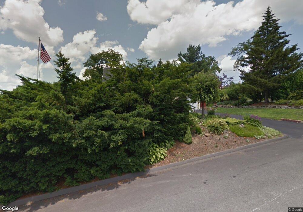
6 Blue Hill Rd Worcester, MA 01606
Greendale NeighborhoodEstimated Value: $424,000 - $446,000
4
Beds
2
Baths
1,308
Sq Ft
$332/Sq Ft
Est. Value
About This Home
This home is located at 6 Blue Hill Rd, Worcester, MA 01606 and is currently estimated at $434,893, approximately $332 per square foot. 6 Blue Hill Rd is a home located in Worcester County with nearby schools including Jacob Hiatt Magnet School, Chandler Magnet, and Thorndyke Road School.
Ownership History
Date
Name
Owned For
Owner Type
Purchase Details
Closed on
Sep 18, 2019
Sold by
Sampsell Lorena L
Bought by
Taylor Jan E and Taylor Curtis A
Current Estimated Value
Purchase Details
Closed on
Apr 19, 1996
Sold by
Gracey James F and Gracey Kelly
Bought by
Taylor Kevin and Taylor Karen
Purchase Details
Closed on
Mar 1, 1993
Sold by
Engard Peter D and Engard Joyce
Bought by
Gracey James F and Gracey Kelly F
Create a Home Valuation Report for This Property
The Home Valuation Report is an in-depth analysis detailing your home's value as well as a comparison with similar homes in the area
Home Values in the Area
Average Home Value in this Area
Purchase History
| Date | Buyer | Sale Price | Title Company |
|---|---|---|---|
| Taylor Jan E | -- | -- | |
| Taylor Kevin | $90,000 | -- | |
| Gracey James F | $114,900 | -- |
Source: Public Records
Mortgage History
| Date | Status | Borrower | Loan Amount |
|---|---|---|---|
| Previous Owner | Gracey James F | $158,036 | |
| Previous Owner | Gracey James F | $59,500 | |
| Previous Owner | Gracey James F | $17,100 |
Source: Public Records
Tax History
| Year | Tax Paid | Tax Assessment Tax Assessment Total Assessment is a certain percentage of the fair market value that is determined by local assessors to be the total taxable value of land and additions on the property. | Land | Improvement |
|---|---|---|---|---|
| 2025 | $5,393 | $408,900 | $118,700 | $290,200 |
| 2024 | $5,292 | $384,900 | $118,700 | $266,200 |
| 2023 | $5,094 | $355,200 | $103,200 | $252,000 |
| 2022 | $4,703 | $309,200 | $82,600 | $226,600 |
| 2021 | $4,588 | $281,800 | $66,100 | $215,700 |
| 2020 | $4,480 | $263,500 | $66,100 | $197,400 |
| 2019 | $4,282 | $237,900 | $59,500 | $178,400 |
| 2018 | $4,302 | $227,500 | $59,500 | $168,000 |
| 2017 | $4,128 | $214,800 | $59,500 | $155,300 |
| 2016 | $4,099 | $198,900 | $43,600 | $155,300 |
| 2015 | $3,992 | $198,900 | $43,600 | $155,300 |
| 2014 | $3,887 | $198,900 | $43,600 | $155,300 |
Source: Public Records
Map
Nearby Homes
- 169 Whitmarsh Ave
- 39 Whitmarsh Ave
- 15 Ericsson St
- 323 Burncoat St
- 331 Burncoat St
- 66 Eunice Ave
- 58 Osceola Ave
- 3205 Halcyon Dr Unit 3205
- 45 Goldthwaite Rd
- 30 Danielles Way
- 44 Boardman St
- 13 Fatima Ln
- 31 Boardman St
- 30 Melrose St
- 12 Erie Ave
- 2 Selden St
- 22 Huron Ave
- 37 Mohave Rd
- 41 Mohave Rd
- 6 Roald St
- 4 Marmion Ave
- 9 Hillcroft Ave
- 2 Hillcroft Ave
- 4 Hillcroft Ave
- 7 Hillcroft Ave
- 9 Blue Hill Rd
- 11 Blue Hill Rd
- 6 Hillcroft Ave
- 14 Marmion Ave
- 5 Blue Hill Rd
- 1 Marmion Ave
- 110 Christine St
- 3 Blue Hill Rd
- 19 Hillcroft Ave
- 8 Hillcroft Ave
- 8 Hillcroft Ave
- 20 Marmion Ave
- 118 Wilkinson St
- 111 Wilkinson St
- 240 Burncoat St
Your Personal Tour Guide
Ask me questions while you tour the home.