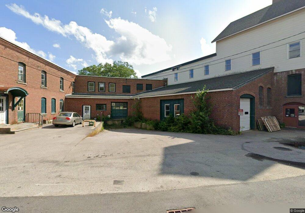
6 Burns Hill Rd Wilton, NH 03086
--
Bed
--
Bath
14,073
Sq Ft
0.41
Acres
About This Home
This home is located at 6 Burns Hill Rd, Wilton, NH 03086. 6 Burns Hill Rd is a home located in Hillsborough County with nearby schools including Florence Rideout Elementary School, Wilton-Lyndeborough Cooperative Middle School, and Wilton-Lyndeborough Cooperative High School.
Ownership History
Date
Name
Owned For
Owner Type
Purchase Details
Closed on
Mar 27, 2014
Sold by
Wilton Main Street Ass
Bought by
Kimphys Props Llc
Purchase Details
Closed on
Oct 1, 2004
Sold by
Reed David C and Reed Margery P
Bought by
Landry Gerard D
Create a Home Valuation Report for This Property
The Home Valuation Report is an in-depth analysis detailing your home's value as well as a comparison with similar homes in the area
Home Values in the Area
Average Home Value in this Area
Purchase History
| Date | Buyer | Sale Price | Title Company |
|---|---|---|---|
| Kimphys Props Llc | $299,000 | -- | |
| Kimphys Props Llc | $299,000 | -- | |
| Landry Gerard D | $239,900 | -- | |
| Landry Gerard D | $239,900 | -- |
Source: Public Records
Mortgage History
| Date | Status | Borrower | Loan Amount |
|---|---|---|---|
| Previous Owner | Landry Gerard D | $206,107 | |
| Previous Owner | Landry Gerard D | $100,000 | |
| Previous Owner | Landry Gerard D | $206,107 |
Source: Public Records
Tax History Compared to Growth
Tax History
| Year | Tax Paid | Tax Assessment Tax Assessment Total Assessment is a certain percentage of the fair market value that is determined by local assessors to be the total taxable value of land and additions on the property. | Land | Improvement |
|---|---|---|---|---|
| 2024 | $10,833 | $435,600 | $119,800 | $315,800 |
| 2023 | $9,670 | $435,600 | $119,800 | $315,800 |
| 2022 | $8,999 | $435,600 | $119,800 | $315,800 |
| 2021 | $8,372 | $435,600 | $119,800 | $315,800 |
| 2020 | $9,722 | $330,800 | $80,700 | $250,100 |
| 2019 | $9,606 | $330,800 | $80,700 | $250,100 |
| 2018 | $9,514 | $330,800 | $80,700 | $250,100 |
| 2017 | $8,988 | $330,800 | $80,700 | $250,100 |
| 2016 | $8,713 | $330,800 | $80,700 | $250,100 |
| 2015 | $9,385 | $356,300 | $80,700 | $275,600 |
| 2014 | $9,193 | $356,300 | $80,700 | $275,600 |
| 2013 | $9,271 | $356,300 | $80,700 | $275,600 |
Source: Public Records
Map
Nearby Homes
- 10 Mill St
- 27 Island St
- 8 Maple St
- 134 Falcon Ridge Rd Unit 23
- 81 Abbot Hill Acres
- 88 McGettigan Rd Unit 88-6-1
- F-88-11 Aria Hill Dr
- F-88-10 Aria Hill Dr
- F-88-12 Aria Hill Dr
- F-88-7 Aria Hill Dr
- Lot F-88-9 Aria Hill Dr
- F/88-5 McGettigan Rd
- F/88-4 McGettigan Rd
- Lots 4 & 7 Gibbons & Robbins Rd
- 545 Elm St Unit 34
- 0 Marden Rd
- 59 Goldsmith Rd
- 60 Goldsmith Rd
- 30 Holden Ln
- A 66 Burton Hwy
- 59 Forest Rd Unit C
- 59 Forest Rd Unit A
- 59 Forest Rd Unit B
- 15 Main St
- 17 Main St
- 3 Mill St Unit A
- 3 Mill St
- 99 Main St
- 99 Main St
- 25 Main St
- 19 Main St
- 10 Main St Unit 18
- 10 Main St
- 10 Main St Unit 10
- 10 Main St Unit 1
- 10 Main St Unit 19
- 10 Main St Unit 5
- 10 Main St Unit 17
- 10 Main St Unit 9
- 1 Forest Rd