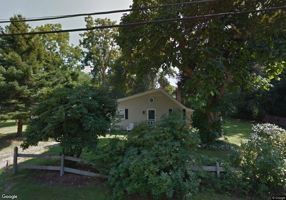
6 Burns Rd Shelter Island, NY 11964
Estimated Value: $1,615,000
3
Beds
2
Baths
1,254
Sq Ft
$1,288/Sq Ft
Est. Value
About This Home
This home is located at 6 Burns Rd, Shelter Island, NY 11964 and is currently estimated at $1,615,000, approximately $1,287 per square foot. 6 Burns Rd is a home with nearby schools including Shelter Island School.
Ownership History
Date
Name
Owned For
Owner Type
Purchase Details
Closed on
Nov 29, 2011
Sold by
Gates Robert S
Bought by
Gates Robert S and Gates Jacqueline Loconsolo
Current Estimated Value
Purchase Details
Closed on
Apr 20, 2010
Sold by
Gates Robert S and Gates Rita M
Bought by
Gates Robert S
Home Financials for this Owner
Home Financials are based on the most recent Mortgage that was taken out on this home.
Original Mortgage
$300,000
Interest Rate
5.03%
Mortgage Type
Purchase Money Mortgage
Purchase Details
Closed on
Oct 28, 2005
Sold by
Waldner Peter
Bought by
Gates Robert S
Purchase Details
Closed on
Nov 6, 1998
Sold by
Waldner Peter and Waldner Kathleen
Bought by
Waldner Peter
Create a Home Valuation Report for This Property
The Home Valuation Report is an in-depth analysis detailing your home's value as well as a comparison with similar homes in the area
Home Values in the Area
Average Home Value in this Area
Purchase History
| Date | Buyer | Sale Price | Title Company |
|---|---|---|---|
| Gates Robert S | -- | -- | |
| Gates Robert S | -- | -- | |
| Gates Robert S | $495,000 | Donald M. Mcgayhey | |
| Waldner Peter | -- | -- |
Source: Public Records
Mortgage History
| Date | Status | Borrower | Loan Amount |
|---|---|---|---|
| Previous Owner | Gates Robert S | $300,000 |
Source: Public Records
Tax History Compared to Growth
Tax History
| Year | Tax Paid | Tax Assessment Tax Assessment Total Assessment is a certain percentage of the fair market value that is determined by local assessors to be the total taxable value of land and additions on the property. | Land | Improvement |
|---|---|---|---|---|
| 2024 | $1,514 | $475,000 | $173,000 | $302,000 |
| 2023 | $1,514 | $475,000 | $173,000 | $302,000 |
| 2022 | $2,990 | $475,000 | $173,000 | $302,000 |
| 2021 | $2,922 | $475,000 | $173,000 | $302,000 |
| 2020 | $2,867 | $471,000 | $173,000 | $298,000 |
| 2019 | $2,867 | $0 | $0 | $0 |
| 2018 | $2,683 | $468,000 | $188,600 | $279,400 |
| 2017 | $2,683 | $450,000 | $125,700 | $324,300 |
| 2016 | $2,650 | $435,000 | $119,800 | $315,200 |
| 2015 | -- | $415,000 | $125,700 | $289,300 |
| 2014 | -- | $409,000 | $137,100 | $271,900 |
Source: Public Records
Map
Nearby Homes
- 4 Duvall Rd
- 64 N Cartwright Rd
- 3a/3b Pandion Rd Unit 3a/3b
- 10 Sunshine Rd Unit B
- 47B S Ferry Rd
- 10 Strawberry Ln
- 33B S Midway Rd
- 139 A N Ferry Rd
- 47L S Ferry Rd
- 8 Cove Way
- 52 S Midway Rd
- 1 Gazon Rd
- 5 N Menantic Rd
- 1 Meadow Place
- 7 Gazon Rd
- 26 S Menantic Rd
- 7 Grand Ave
- 5 Grand Ave
- 7 Westmoreland Dr
- 21 Thompson Rd