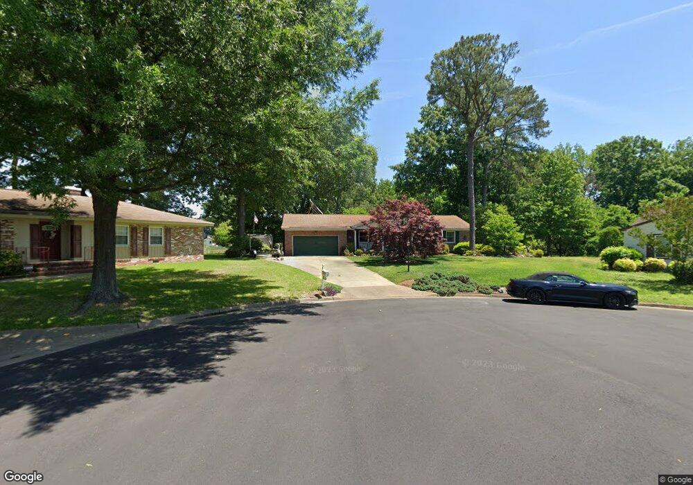
6 Crown Ct Hampton, VA 23669
Phoebus NeighborhoodEstimated Value: $368,000 - $386,742
3
Beds
2
Baths
1,850
Sq Ft
$205/Sq Ft
Est. Value
About This Home
This home is located at 6 Crown Ct, Hampton, VA 23669 and is currently estimated at $378,436, approximately $204 per square foot. 6 Crown Ct is a home located in Hampton City with nearby schools including Capt. John Smith Elementary School, Benjamin Syms Middle School, and Kecoughtan High School.
Ownership History
Date
Name
Owned For
Owner Type
Purchase Details
Closed on
Aug 16, 2004
Sold by
Butterworth Carl
Bought by
Witiak Reinhard
Current Estimated Value
Purchase Details
Closed on
Apr 30, 2002
Sold by
Ashe Meadows L L C
Bought by
Creative Estates Inc
Home Financials for this Owner
Home Financials are based on the most recent Mortgage that was taken out on this home.
Original Mortgage
$164,000
Interest Rate
7.13%
Mortgage Type
Construction
Create a Home Valuation Report for This Property
The Home Valuation Report is an in-depth analysis detailing your home's value as well as a comparison with similar homes in the area
Home Values in the Area
Average Home Value in this Area
Purchase History
| Date | Buyer | Sale Price | Title Company |
|---|---|---|---|
| Witiak Reinhard | $319,900 | -- | |
| Creative Estates Inc | $50,000 | -- |
Source: Public Records
Mortgage History
| Date | Status | Borrower | Loan Amount |
|---|---|---|---|
| Previous Owner | Creative Estates Inc | $164,000 |
Source: Public Records
Tax History
| Year | Tax Paid | Tax Assessment Tax Assessment Total Assessment is a certain percentage of the fair market value that is determined by local assessors to be the total taxable value of land and additions on the property. | Land | Improvement |
|---|---|---|---|---|
| 2025 | $4,315 | $384,200 | $92,500 | $291,700 |
| 2024 | $3,955 | $343,900 | $92,500 | $251,400 |
| 2023 | $3,622 | $312,200 | $92,500 | $219,700 |
| 2022 | $3,132 | $265,400 | $86,900 | $178,500 |
| 2021 | $3,299 | $255,600 | $86,900 | $168,700 |
| 2020 | $3,016 | $243,200 | $86,900 | $156,300 |
| 2019 | $3,001 | $242,000 | $86,900 | $155,100 |
| 2018 | $2,989 | $222,200 | $87,400 | $134,800 |
| 2017 | $2,849 | $0 | $0 | $0 |
| 2016 | $2,849 | $222,200 | $0 | $0 |
| 2015 | $2,994 | $0 | $0 | $0 |
| 2014 | $2,984 | $233,900 | $92,000 | $141,900 |
Source: Public Records
Map
Nearby Homes
- 124 Southerland Dr
- 10 Westley Ct
- 54 Mohawk Rd
- 413 Elizabeth Lake Dr
- 122 Chichester Ave
- 54 George Ct
- 304 Woodland Rd
- 1314 Saxton Dr
- 55 Calhoun St
- 246 Dockside Dr Unit C
- 51 Calhoun St
- 240 Dockside Dr Unit C
- 1307 Colebrook Dr
- 24 Saint Albans Dr
- 526 Elizabeth Lake Dr
- 212 Dockside Dr Unit C
- 15 Gayle St
- 20 Pine Cone Dr
- 38 Saint Albans Dr
- 1810 Beall Dr
- 4 Crown Ct
- 3 Crown Ct
- 35 Kings Point Dr
- 39 Kings Landing Ln
- 33 Kings Point Dr
- 31 Kings Point Dr
- 306 Riverside Dr
- 37 Kings Point Dr
- 304 Riverside Dr
- 31 Kings Landing Ln
- 39 Kings Point Dr
- 25 Kings Landing Ln
- 40 Kings Landing Ln
- 29 Kings Landing Ln
- 27 Kings Landing Ln
- 302 Riverside Dr
- 23 Kings Landing Ln
- 29 Kings Point Dr
- 308 Riverside Dr
- 310 Riverside Dr
Your Personal Tour Guide
Ask me questions while you tour the home.