Estimated Value: $659,000 - $836,000
2
Beds
3
Baths
2,230
Sq Ft
$334/Sq Ft
Est. Value
About This Home
This home is located at 6 Dry Pond Rd, Gray, ME 04039 and is currently estimated at $745,654, approximately $334 per square foot. 6 Dry Pond Rd is a home located in Cumberland County with nearby schools including Gray-New Gloucester High School and Fiddlehead School of Arts & Science.
Ownership History
Date
Name
Owned For
Owner Type
Purchase Details
Closed on
Jul 29, 2014
Sold by
Mottice Daniel R
Bought by
Daniel R Mottice T
Current Estimated Value
Purchase Details
Closed on
Oct 11, 2005
Sold by
Brown Tracey A
Bought by
Mottice Daryl L and Mottice Susan C
Home Financials for this Owner
Home Financials are based on the most recent Mortgage that was taken out on this home.
Original Mortgage
$160,000
Outstanding Balance
$84,859
Interest Rate
5.81%
Mortgage Type
Purchase Money Mortgage
Estimated Equity
$660,795
Create a Home Valuation Report for This Property
The Home Valuation Report is an in-depth analysis detailing your home's value as well as a comparison with similar homes in the area
Home Values in the Area
Average Home Value in this Area
Purchase History
| Date | Buyer | Sale Price | Title Company |
|---|---|---|---|
| Daniel R Mottice T | -- | -- | |
| Mottice Daniel R | -- | -- | |
| Mottice Daryl L | -- | -- | |
| Mottice Daryl L | -- | -- |
Source: Public Records
Mortgage History
| Date | Status | Borrower | Loan Amount |
|---|---|---|---|
| Open | Mottice Daryl L | $160,000 | |
| Closed | Mottice Daryl L | $160,000 |
Source: Public Records
Tax History Compared to Growth
Tax History
| Year | Tax Paid | Tax Assessment Tax Assessment Total Assessment is a certain percentage of the fair market value that is determined by local assessors to be the total taxable value of land and additions on the property. | Land | Improvement |
|---|---|---|---|---|
| 2025 | $7,732 | $798,800 | $194,600 | $604,200 |
| 2024 | $7,748 | $798,800 | $194,600 | $604,200 |
| 2023 | $6,896 | $454,300 | $89,300 | $365,000 |
| 2022 | $6,337 | $454,300 | $89,300 | $365,000 |
| 2021 | $4,918 | $336,600 | $89,300 | $247,300 |
| 2020 | $4,965 | $336,600 | $89,300 | $247,300 |
| 2019 | $4,965 | $336,600 | $89,300 | $247,300 |
| 2018 | $4,712 | $336,600 | $89,300 | $247,300 |
| 2017 | $5,451 | $302,000 | $110,800 | $191,200 |
| 2016 | $5,527 | $302,000 | $110,800 | $191,200 |
| 2015 | $5,496 | $302,000 | $110,800 | $191,200 |
| 2014 | $5,496 | $302,000 | $110,800 | $191,200 |
| 2012 | $3,088 | $194,814 | $110,750 | $84,064 |
Source: Public Records
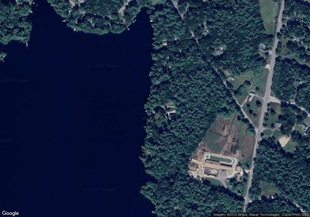
Map
Nearby Homes
- 4 Chelsey Ln
- 15 May Meadow Dr
- 00 N Shore Rd
- 74 May Meadow Dr
- TBD Targett Rd
- 13 Mill Brook Rd Unit A
- 4 Wanda Ln
- 21 Westwood Rd
- 423 Sabbathday Rd
- 127 Shaker Rd Unit 41
- 271 Bennett Rd
- M011-006 Westwood Rd
- 11-007 Westwood Rd
- 22 Shaw Rd
- 14 Golden Way
- 0 Mayall
- 24 Swamp Rd
- 17 Callaway Dr Unit 17
- 27 Callaway Dr Unit 27B
- 157 Egypt Rd
- 12 Dry Pond Rd
- 184 Mayberry Rd
- 14 Dry Pond Rd
- 182 Mayberry Rd
- 13 Dry Pond Rd
- 186 Mayberry Rd
- 178 Mayberry Rd
- 16 Dry Pond Rd
- 18 Dry Pond Rd
- 180 Mayberry Rd
- 24 Dry Pond Rd
- 176 Mayberry Rd
- 20 Dry Pond Rd
- 174 Mayberry Rd
- 172 Mayberry Rd
- 168 Mayberry Rd
- 171 Mayberry Rd
- 26 Dry Pond Rd
- 167 Mayberry Rd
- 163 Mayberry Rd