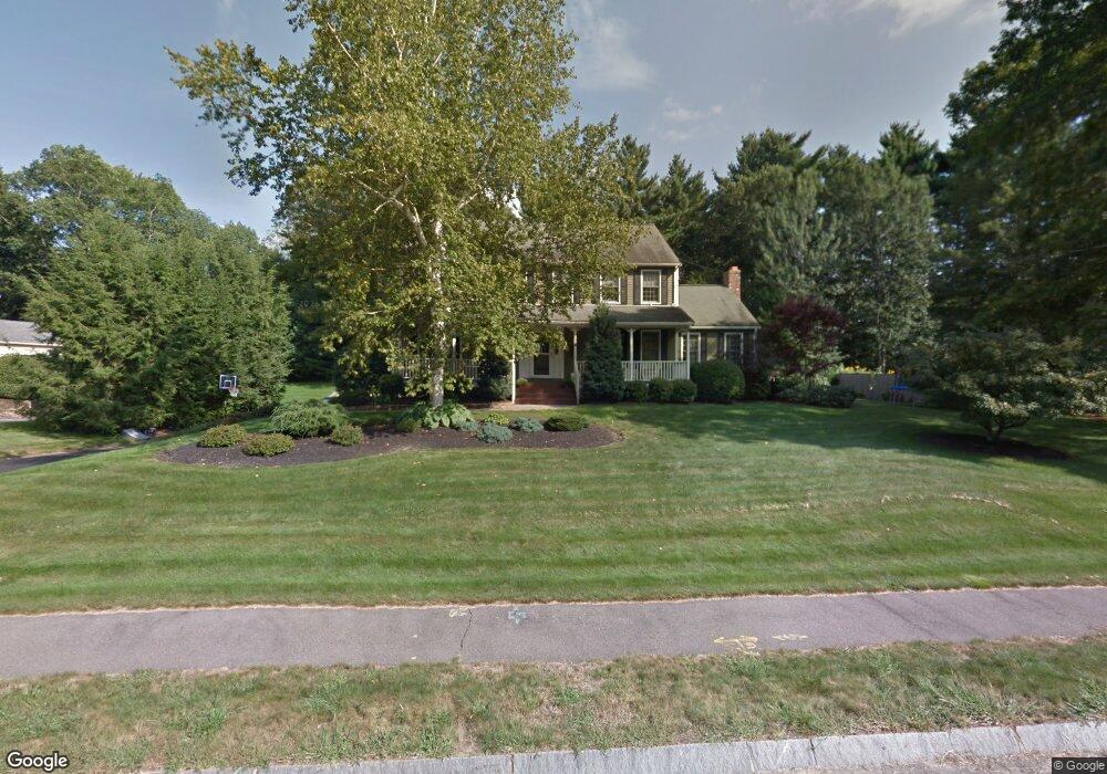
6 Edmunds Way Franklin, MA 02038
Estimated Value: $1,044,719 - $1,113,000
4
Beds
3
Baths
3,396
Sq Ft
$319/Sq Ft
Est. Value
About This Home
This home is located at 6 Edmunds Way, Franklin, MA 02038 and is currently estimated at $1,084,930, approximately $319 per square foot. 6 Edmunds Way is a home located in Norfolk County with nearby schools including Oak Street Elementary School, Horace Mann Middle School, and Franklin High School.
Ownership History
Date
Name
Owned For
Owner Type
Purchase Details
Closed on
Jul 6, 2009
Sold by
Blum Scott B and Blum Cynthia L
Bought by
Barker Michael and Barker Maureen
Current Estimated Value
Purchase Details
Closed on
Apr 15, 1999
Sold by
Gerraughty William B and Gerraughty Holly L
Bought by
Blum Scott B and Blum Cynthia L
Purchase Details
Closed on
Mar 21, 1994
Sold by
Thomann David V
Bought by
Gerraughty Wm D and Gerraughty Holly L
Create a Home Valuation Report for This Property
The Home Valuation Report is an in-depth analysis detailing your home's value as well as a comparison with similar homes in the area
Home Values in the Area
Average Home Value in this Area
Purchase History
| Date | Buyer | Sale Price | Title Company |
|---|---|---|---|
| Barker Michael | $530,000 | -- | |
| Blum Scott B | $307,500 | -- | |
| Gerraughty Wm D | $242,500 | -- |
Source: Public Records
Mortgage History
| Date | Status | Borrower | Loan Amount |
|---|---|---|---|
| Open | Gerraughty Wm D | $367,000 | |
| Closed | Gerraughty Wm D | $373,000 |
Source: Public Records
Tax History Compared to Growth
Tax History
| Year | Tax Paid | Tax Assessment Tax Assessment Total Assessment is a certain percentage of the fair market value that is determined by local assessors to be the total taxable value of land and additions on the property. | Land | Improvement |
|---|---|---|---|---|
| 2025 | $10,238 | $881,100 | $363,500 | $517,600 |
| 2024 | $10,388 | $881,100 | $363,500 | $517,600 |
| 2023 | $10,000 | $794,900 | $337,300 | $457,600 |
| 2022 | $9,791 | $696,900 | $290,800 | $406,100 |
| 2021 | $9,186 | $627,000 | $278,900 | $348,100 |
| 2020 | $8,906 | $613,800 | $281,800 | $332,000 |
| 2019 | $8,954 | $610,800 | $278,900 | $331,900 |
| 2018 | $8,437 | $575,900 | $276,100 | $299,800 |
| 2017 | $8,521 | $584,400 | $284,600 | $299,800 |
| 2016 | $7,853 | $541,600 | $246,200 | $295,400 |
| 2015 | $7,908 | $532,900 | $237,500 | $295,400 |
| 2014 | $7,099 | $491,300 | $217,900 | $273,400 |
Source: Public Records
Map
Nearby Homes
- 336 Maple St
- 2 Kayla Dr
- 41 Kimberlee Ave
- 208 Irondequoit Rd
- 66 Highwood Dr
- 204 Lincoln St
- 159 Highwood Dr
- 31 Highwood Dr
- 83 Highwood Dr Unit 83
- 17 Longhill Rd
- 48 Pinehurst St
- 2211 Franklin Crossing Rd Unit 2211
- 1805 Franklin Crossing Rd
- 57 Raymond St Unit 2
- 14 Pleasant St Unit A
- 605 Franklin Crossing Rd
- 2 Noanet Brook Ln
- 150 Pleasant St
- 0 Upper Union St Unit 73230551
- 6 Buena Vista Dr