6 Ferguson Ln Sandown, NH 03873
Estimated Value: $569,000 - $761,000
3
Beds
3
Baths
1,728
Sq Ft
$372/Sq Ft
Est. Value
About This Home
This home is located at 6 Ferguson Ln, Sandown, NH 03873 and is currently estimated at $642,535, approximately $371 per square foot. 6 Ferguson Ln is a home located in Rockingham County with nearby schools including Sandown North Elementary School, Timberlane Regional Middle School, and Timberlane Regional High School.
Ownership History
Date
Name
Owned For
Owner Type
Purchase Details
Closed on
Nov 8, 2021
Sold by
Acerra John J and Acerra Kelly J
Bought by
Johnkelly Acerra Ft
Current Estimated Value
Create a Home Valuation Report for This Property
The Home Valuation Report is an in-depth analysis detailing your home's value as well as a comparison with similar homes in the area
Home Values in the Area
Average Home Value in this Area
Purchase History
| Date | Buyer | Sale Price | Title Company |
|---|---|---|---|
| Johnkelly Acerra Ft | -- | None Available |
Source: Public Records
Tax History Compared to Growth
Tax History
| Year | Tax Paid | Tax Assessment Tax Assessment Total Assessment is a certain percentage of the fair market value that is determined by local assessors to be the total taxable value of land and additions on the property. | Land | Improvement |
|---|---|---|---|---|
| 2024 | $9,413 | $531,200 | $172,200 | $359,000 |
| 2023 | $11,102 | $531,200 | $172,200 | $359,000 |
| 2022 | $8,925 | $314,600 | $106,200 | $208,400 |
| 2021 | $9,117 | $314,600 | $106,200 | $208,400 |
| 2020 | $1 | $281,000 | $106,200 | $174,800 |
| 2019 | $1 | $281,000 | $106,200 | $174,800 |
| 2018 | $7,180 | $281,000 | $106,200 | $174,800 |
| 2017 | $6,996 | $227,300 | $85,000 | $142,300 |
| 2016 | $6,628 | $227,300 | $85,000 | $142,300 |
| 2015 | $5,954 | $223,500 | $85,000 | $138,500 |
| 2014 | $6,166 | $223,500 | $85,000 | $138,500 |
| 2013 | $6,052 | $223,500 | $85,000 | $138,500 |
Source: Public Records
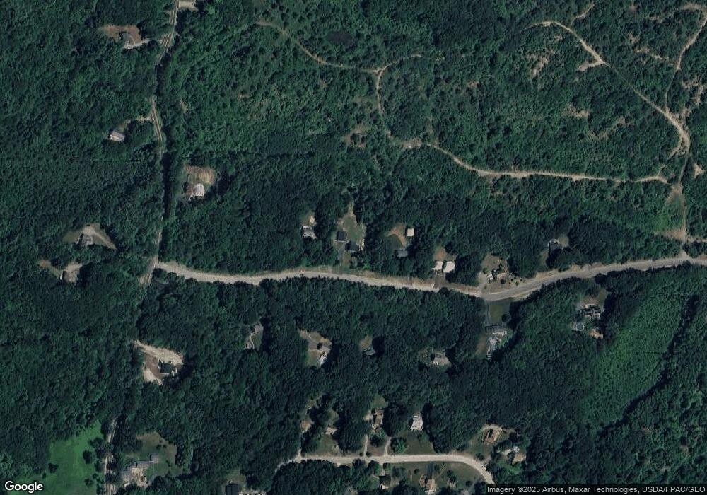
Map
Nearby Homes
- 63 Driftwood Cir Unit 24
- 55 Driftwood Cir Unit 21
- 59 Driftwood Cir Unit 22
- 209 Fremont Rd
- 275 Fremont Rd
- 15 Brightstone Way Unit 14
- 21 Brightstone Way Unit 17
- 53 Driftwood Cir Unit 20
- 61 Sargent Rd
- 8 Eastfield Loop
- 30 Saw Mill Ridge
- 31 N Shore Rd
- 70 Sandown Rd
- 5 Lilac Ln
- 432 Main St
- Lot 7-2 Sanborn Meadow Unit 7-2
- 25 Oak Ridge Rd
- 6 Coburn Hill Rd
- 534 Main St
- Lot 7-3 Sanborn Meadow Unit 7-3
- 26 Driftwood Cir
- 8 Ferguson Ln
- 4 Ferguson Ln
- 10 Ferguson Ln
- 5 Ferguson Ln
- 7 Ferguson Ln
- 3 Ferguson Ln
- 9 Ferguson Ln
- 12 Ferguson Ln
- 11 Ferguson Ln
- 53 Pine Ridge Cir
- 55 Pine Ridge Cir
- 147 Odell Rd
- 59 Pine Ridge Cir
- 49 Pine Ridge Cir
- 65 Pine Ridge Cir
- 0 Odell Rd Unit Lot 10-5
- 45 Pine Ridge Cir
- 56 Pine Ridge Cir
- 73 Driftwood Cir