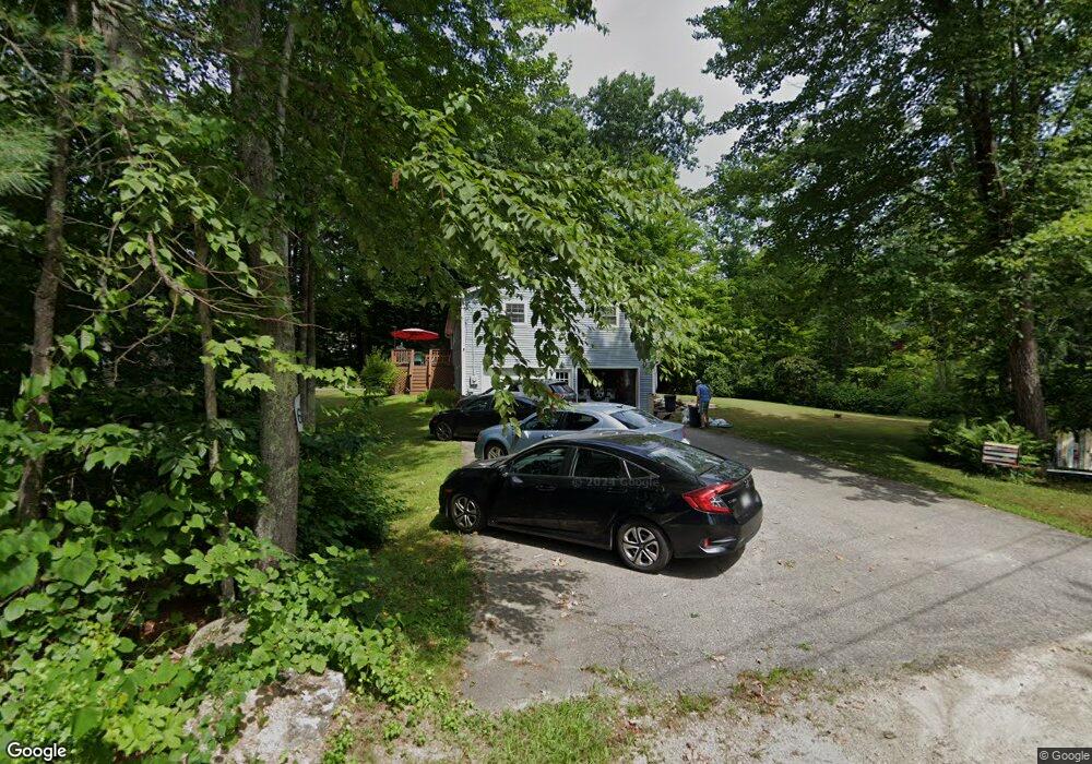
6 Fire Road 22 Strafford, NH 03884
Estimated Value: $464,739 - $718,000
3
Beds
2
Baths
1,800
Sq Ft
$330/Sq Ft
Est. Value
About This Home
This home is located at 6 Fire Road 22, Strafford, NH 03884 and is currently estimated at $594,685, approximately $330 per square foot. 6 Fire Road 22 is a home located in Strafford County with nearby schools including Strafford School and Coe-Brown Northwood Academy.
Ownership History
Date
Name
Owned For
Owner Type
Purchase Details
Closed on
Mar 2, 2000
Sold by
Sutton Elizabeth A
Bought by
Mathison Mark and Mathison Doreen
Current Estimated Value
Home Financials for this Owner
Home Financials are based on the most recent Mortgage that was taken out on this home.
Original Mortgage
$105,000
Interest Rate
8.21%
Create a Home Valuation Report for This Property
The Home Valuation Report is an in-depth analysis detailing your home's value as well as a comparison with similar homes in the area
Home Values in the Area
Average Home Value in this Area
Purchase History
| Date | Buyer | Sale Price | Title Company |
|---|---|---|---|
| Mathison Mark | $140,000 | -- |
Source: Public Records
Mortgage History
| Date | Status | Borrower | Loan Amount |
|---|---|---|---|
| Open | Mathison Mark | $50,000 | |
| Open | Mathison Mark | $147,500 | |
| Closed | Mathison Mark | $105,000 |
Source: Public Records
Tax History
| Year | Tax Paid | Tax Assessment Tax Assessment Total Assessment is a certain percentage of the fair market value that is determined by local assessors to be the total taxable value of land and additions on the property. | Land | Improvement |
|---|---|---|---|---|
| 2024 | $6,369 | $322,300 | $87,600 | $234,700 |
| 2023 | $6,017 | $322,800 | $87,600 | $235,200 |
| 2022 | $5,530 | $322,800 | $87,600 | $235,200 |
| 2021 | $5,959 | $322,800 | $87,600 | $235,200 |
| 2020 | $6,279 | $244,800 | $98,300 | $146,500 |
| 2019 | $5,748 | $244,900 | $98,300 | $146,600 |
| 2018 | $5,787 | $244,900 | $98,300 | $146,600 |
| 2016 | $5,204 | $244,900 | $98,300 | $146,600 |
| 2015 | $5,398 | $247,500 | $123,400 | $124,100 |
| 2014 | $5,732 | $247,500 | $123,400 | $124,100 |
| 2013 | $5,613 | $247,500 | $123,400 | $124,100 |
| 2012 | $5,539 | $247,500 | $123,400 | $124,100 |
Source: Public Records
Map
Nearby Homes
- 133 & 137 Browns Pasture Rd
- Map 3 Lot 18-2b and 18-2c Water St
- M37 L40 Beaver Rd
- 114 Bow Lake Estates Rd
- 36 Leavitt Ln
- 1416 Parker Mountain Rd
- 641 & 647 First nh Turnpike
- 0 1st New Hampshire Turnpike Unit 5026030
- 0 1st New Hampshire Turnpike Unit 5013320
- 239 Long Pond Rd
- 295 1st New Hampshire Turnpike
- 0 Sloper Rd Unit 6
- 73 Harvey Lake Rd
- 26 Oak St
- 1760 Province Rd
- 18 Collins Dr
- 2 Yearling Dr Unit 1
- 369 Blakes Hill Rd
- 120 Estate Dr
- 825 Second Crown Point Rd
- 7 Fire Road 22
- 779 Province Rd
- 770 Province Rd
- 11 Fire 22 Rd
- 11 Fire Road 22
- 11 Fire Road 22
- 11 Fire Road 22
- 781 Province Rd
- 778 Province Rd
- 70 Bow View Dr
- 13 Fire Road 20
- 66 Bow View Dr
- 21 Fire Road 22
- 786 Province Rd
- 785 Province Rd
- 64 Bow View Dr
- 67 Bow View Dr
- 790 Province Rd
- 58 Bow View Dr
- 791 Province Rd
Your Personal Tour Guide
Ask me questions while you tour the home.