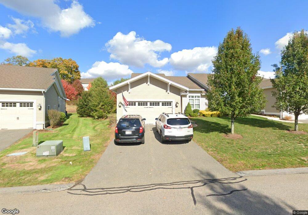
6 Hawthorne Path Milford, MA 01757
Estimated Value: $651,000 - $723,000
2
Beds
2
Baths
1,899
Sq Ft
$362/Sq Ft
Est. Value
About This Home
This home is located at 6 Hawthorne Path, Milford, MA 01757 and is currently estimated at $686,904, approximately $361 per square foot. 6 Hawthorne Path is a home located in Worcester County with nearby schools including Milford High School.
Ownership History
Date
Name
Owned For
Owner Type
Purchase Details
Closed on
Dec 19, 2016
Sold by
Franzosa Alicia J
Bought by
Franzosa Rt
Current Estimated Value
Purchase Details
Closed on
Feb 4, 2013
Sold by
Franzosa Peter F and Franzosa Alicia J
Bought by
Franzosa Rt and Franzosa Peter F
Purchase Details
Closed on
Apr 15, 2011
Sold by
Milford Stoneridge Llc
Bought by
Franzosa Peter F and Franzosa Alicia J
Home Financials for this Owner
Home Financials are based on the most recent Mortgage that was taken out on this home.
Original Mortgage
$230,000
Interest Rate
4.89%
Mortgage Type
Purchase Money Mortgage
Create a Home Valuation Report for This Property
The Home Valuation Report is an in-depth analysis detailing your home's value as well as a comparison with similar homes in the area
Home Values in the Area
Average Home Value in this Area
Purchase History
| Date | Buyer | Sale Price | Title Company |
|---|---|---|---|
| Franzosa Rt | -- | -- | |
| Franzosa Rt | -- | -- | |
| Franzosa Peter F | $419,496 | -- |
Source: Public Records
Mortgage History
| Date | Status | Borrower | Loan Amount |
|---|---|---|---|
| Previous Owner | Franzosa Peter F | $230,000 |
Source: Public Records
Tax History
| Year | Tax Paid | Tax Assessment Tax Assessment Total Assessment is a certain percentage of the fair market value that is determined by local assessors to be the total taxable value of land and additions on the property. | Land | Improvement |
|---|---|---|---|---|
| 2025 | $7,939 | $620,200 | $0 | $620,200 |
| 2024 | $7,587 | $570,900 | $0 | $570,900 |
| 2023 | $7,189 | $497,500 | $0 | $497,500 |
| 2022 | $7,093 | $460,900 | $0 | $460,900 |
| 2021 | $6,509 | $407,300 | $0 | $407,300 |
| 2020 | $6,694 | $419,400 | $0 | $419,400 |
| 2019 | $6,849 | $414,100 | $0 | $414,100 |
| 2018 | $7,036 | $424,900 | $0 | $424,900 |
| 2017 | $7,134 | $424,900 | $0 | $424,900 |
| 2016 | $6,743 | $392,500 | $0 | $392,500 |
| 2015 | $6,823 | $388,800 | $0 | $388,800 |
Source: Public Records
Map
Nearby Homes
- 4 Hawthorne Path Unit 4
- 96 Walden Way Unit 52
- 0 Mcgill Ln
- 241 Purchase St
- 5 Dynasty Dr
- 1 Emerald Dr
- 2 Emerald Dr
- 4 Emerald Dr
- 187 Purchase St
- 21 Shadowbrook Ln Unit 13
- 9 Shadowbrook Ln Unit 1
- 11 Shadowbrook Ln Unit 8
- Lot 2 Hanlon Rd
- 8 Shadowbrook Ln Unit 39
- 8 Shadowbrook Ln Unit 41
- 5 Shadowbrook Ln Unit 7
- 165 Lumber St
- 45 Wendy Ln
- 9 Davenport Ln Unit 9
- 4 Kennedy Ln Unit 47
- 8 Hawthorne Path
- 6 Hawthorne Path
- 8 Hawthorne Path
- 8 Hawthorne Path Unit 12
- 4 Hawthorne Path
- 2 Hawthorne Path
- 4 Hawthorne Path Unit 128
- 2 Hawthorne Path Unit 127
- 12 Hawthorne Path
- 10 Hawthorne Path
- 12 Hawthorne Path Unit 12
- 12 Hawthorne Path
- 10 Hawthorne Path
- 10 Hawthorne Path Unit 10
- 10 Hawthorne Path Unit 131
- 12 Hawthorne Path Unit 132
- 59 Walden Way
- 57 Walden Way
- 59 Walden Way
- 57 Walden Way
Your Personal Tour Guide
Ask me questions while you tour the home.