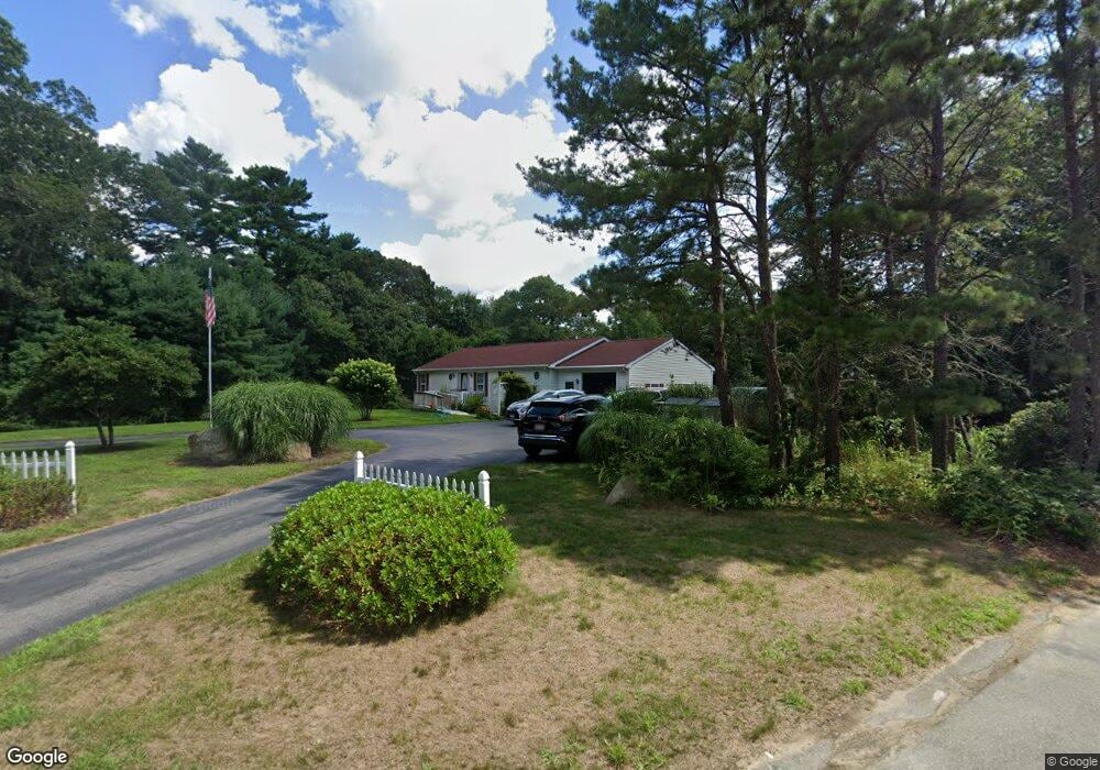
6 Heath Rd West Wareham, MA 02576
Estimated Value: $561,611 - $656,000
3
Beds
2
Baths
1,456
Sq Ft
$412/Sq Ft
Est. Value
About This Home
This home is located at 6 Heath Rd, West Wareham, MA 02576 and is currently estimated at $600,403, approximately $412 per square foot. 6 Heath Rd is a home located in Plymouth County.
Ownership History
Date
Name
Owned For
Owner Type
Purchase Details
Closed on
Aug 1, 2011
Sold by
Garant Richard P and Garant Barbara L
Bought by
Rp and Bl Garant
Current Estimated Value
Purchase Details
Closed on
Jul 24, 2000
Sold by
Eagle Holt Co Inc
Bought by
Garant Richard and Garant Barbara
Create a Home Valuation Report for This Property
The Home Valuation Report is an in-depth analysis detailing your home's value as well as a comparison with similar homes in the area
Purchase History
| Date | Buyer | Sale Price | Title Company |
|---|---|---|---|
| Rp | -- | -- | |
| Rp | -- | -- | |
| Garant Richard | $62,500 | -- | |
| Garant Richard | $62,500 | -- |
Source: Public Records
Mortgage History
| Date | Status | Borrower | Loan Amount |
|---|---|---|---|
| Previous Owner | Garant Richard | $20,000 | |
| Previous Owner | Garant Richard | $111,500 | |
| Previous Owner | Garant Richard | $120,000 |
Source: Public Records
Tax History
| Year | Tax Paid | Tax Assessment Tax Assessment Total Assessment is a certain percentage of the fair market value that is determined by local assessors to be the total taxable value of land and additions on the property. | Land | Improvement |
|---|---|---|---|---|
| 2025 | $5,239 | $502,800 | $126,200 | $376,600 |
| 2024 | $5,430 | $483,500 | $101,300 | $382,200 |
| 2023 | $5,203 | $432,500 | $92,200 | $340,300 |
| 2022 | $4,816 | $365,400 | $92,200 | $273,200 |
| 2021 | $6,881 | $352,900 | $92,200 | $260,700 |
| 2020 | $6,961 | $331,900 | $92,200 | $239,700 |
| 2019 | $4,350 | $327,300 | $97,400 | $229,900 |
| 2018 | $4,070 | $298,600 | $97,400 | $201,200 |
| 2017 | $3,793 | $282,000 | $97,400 | $184,600 |
| 2016 | $3,542 | $261,800 | $102,200 | $159,600 |
| 2015 | $3,422 | $261,800 | $102,200 | $159,600 |
| 2014 | $3,171 | $246,800 | $102,200 | $144,600 |
Source: Public Records
Map
Nearby Homes
- 19 Station St
- 17 Station St
- 44 Helen St
- 46 Helen St
- 7 Maud Palmer Dr
- 9 White Pine Ave
- 1 Emma Ln Unit B
- 4 White Pine Ave
- 0 County Rd
- 15 14th Ave
- 8 Windy Hill Dr
- 2 Edwards Bridge Rd
- 9 Woodville Way
- 233 Marion Rd
- 189 Pine View Terrace
- 31 Cross Rd
- 6 Bourne Terrace
- 15 Cross Rd
- 10 Longmeadow Dr
- 5 Timber Ln
- 4 Heath Rd
- 0 Heath Rd
- 8 Heath Rd
- 3 Heath Rd
- 7 Heath Rd
- 5 Heath Rd
- 2 Heath Rd
- 2 Burfield Dr
- 1 Heath Rd
- 10 Burfield Dr
- 8 Fieldstone Cir Unit 4
- 8 Fieldstone Cir
- 8 Fieldstone Cir Unit 8
- 9 Fieldstone Cir
- 9 Fieldstone Cir
- 6 Fieldstone Cir
- 6 Fieldstone Cir Unit 6
- 10 Blackmore Pond Rd
- 4 Fieldstone Cir
- 4 Fieldstone Cir Unit 2
Your Personal Tour Guide
Ask me questions while you tour the home.