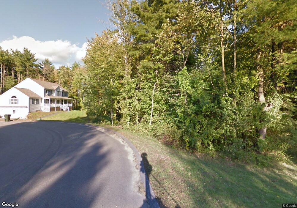
6 Jake Rd Londonderry, NH 03053
Estimated Value: $756,000 - $792,000
3
Beds
3
Baths
2,484
Sq Ft
$314/Sq Ft
Est. Value
About This Home
This home is located at 6 Jake Rd, Londonderry, NH 03053 and is currently estimated at $779,479, approximately $313 per square foot. 6 Jake Rd is a home with nearby schools including Matthew Thornton Elementary School, Londonderry Middle School, and Londonderry Senior High School.
Ownership History
Date
Name
Owned For
Owner Type
Purchase Details
Closed on
Jan 7, 2025
Sold by
Doran James and Doran Marcia
Bought by
Doran Ft and Doran
Current Estimated Value
Purchase Details
Closed on
Jul 25, 2011
Sold by
Jvl Construction Co In
Bought by
Doran James and Amirault Marcia
Home Financials for this Owner
Home Financials are based on the most recent Mortgage that was taken out on this home.
Original Mortgage
$268,000
Interest Rate
4.49%
Create a Home Valuation Report for This Property
The Home Valuation Report is an in-depth analysis detailing your home's value as well as a comparison with similar homes in the area
Home Values in the Area
Average Home Value in this Area
Purchase History
| Date | Buyer | Sale Price | Title Company |
|---|---|---|---|
| Doran Ft | -- | None Available | |
| Doran Ft | -- | None Available | |
| Doran James | $335,000 | -- | |
| Doran James | $335,000 | -- |
Source: Public Records
Mortgage History
| Date | Status | Borrower | Loan Amount |
|---|---|---|---|
| Previous Owner | Doran James | $268,000 |
Source: Public Records
Tax History Compared to Growth
Tax History
| Year | Tax Paid | Tax Assessment Tax Assessment Total Assessment is a certain percentage of the fair market value that is determined by local assessors to be the total taxable value of land and additions on the property. | Land | Improvement |
|---|---|---|---|---|
| 2024 | $10,678 | $661,600 | $239,000 | $422,600 |
| 2023 | $10,456 | $668,100 | $239,000 | $429,100 |
| 2022 | $9,831 | $532,000 | $180,100 | $351,900 |
| 2021 | $9,778 | $532,000 | $180,100 | $351,900 |
| 2020 | $8,955 | $445,300 | $145,700 | $299,600 |
| 2019 | $8,634 | $445,300 | $145,700 | $299,600 |
| 2018 | $8,103 | $371,700 | $122,600 | $249,100 |
| 2017 | $7,918 | $366,400 | $122,600 | $243,800 |
| 2016 | $7,878 | $366,400 | $122,600 | $243,800 |
| 2015 | $7,702 | $366,400 | $122,600 | $243,800 |
| 2014 | $7,727 | $366,400 | $122,600 | $243,800 |
| 2011 | -- | $357,100 | $126,900 | $230,200 |
Source: Public Records
Map
Nearby Homes
- 90 High Range Rd
- 88 High Range Rd
- 11 Elise Ave Unit Lot 91
- 6 Wiley Hill Rd
- 214 Winding Pond Rd
- 3 Chandler Dr
- 31 Midridge Cir
- 27 Midridge Cir
- 12 Wiley Hill Rd
- 111 Winterwood Dr
- 267 Winding Pond Rd
- 47 Winding Pond Rd
- 5 Hickory Hill Dr
- 17 Lily Ln
- 19 Lily Ln
- 1 Lily Ln
- 6 Sugar Plum Ln
- 107a Gilcreast Rd Unit A
- 5 Delphi Way
- 3 Delphi Way