6 Jean Rd Mansfield, MA 02048
Estimated Value: $848,827 - $973,000
4
Beds
8
Baths
2,432
Sq Ft
$377/Sq Ft
Est. Value
About This Home
This home is located at 6 Jean Rd, Mansfield, MA 02048 and is currently estimated at $917,207, approximately $377 per square foot. 6 Jean Rd is a home located in Bristol County with nearby schools including Jordan/Jackson Elementary School, Everett W. Robinson Elementary School, and Harold L. Qualters Middle School.
Ownership History
Date
Name
Owned For
Owner Type
Purchase Details
Closed on
May 3, 1999
Sold by
Sicilia Frank P and Sicilia Terri L
Bought by
Koul Lalit and Koul Rachna
Current Estimated Value
Purchase Details
Closed on
Jul 5, 1994
Sold by
Massapoag Constr Co
Bought by
Sicilia Frank P and Sicilia Terri L
Create a Home Valuation Report for This Property
The Home Valuation Report is an in-depth analysis detailing your home's value as well as a comparison with similar homes in the area
Home Values in the Area
Average Home Value in this Area
Purchase History
| Date | Buyer | Sale Price | Title Company |
|---|---|---|---|
| Koul Lalit | $243,900 | -- | |
| Sicilia Frank P | $180,000 | -- |
Source: Public Records
Mortgage History
| Date | Status | Borrower | Loan Amount |
|---|---|---|---|
| Open | Sicilia Frank P | $171,000 | |
| Closed | Sicilia Frank P | $216,000 |
Source: Public Records
Tax History
| Year | Tax Paid | Tax Assessment Tax Assessment Total Assessment is a certain percentage of the fair market value that is determined by local assessors to be the total taxable value of land and additions on the property. | Land | Improvement |
|---|---|---|---|---|
| 2025 | $9,614 | $730,000 | $278,600 | $451,400 |
| 2024 | $8,851 | $655,600 | $290,700 | $364,900 |
| 2023 | $8,591 | $609,700 | $290,700 | $319,000 |
| 2022 | $8,271 | $545,200 | $269,100 | $276,100 |
| 2021 | $3,866 | $516,000 | $224,300 | $291,700 |
| 2020 | $3,961 | $508,300 | $224,300 | $284,000 |
| 2019 | $3,917 | $473,400 | $186,800 | $286,600 |
| 2018 | $7,158 | $459,700 | $178,200 | $281,500 |
| 2017 | $3,460 | $446,900 | $173,100 | $273,800 |
| 2016 | $5,931 | $384,900 | $164,800 | $220,100 |
| 2015 | $5,794 | $373,800 | $164,800 | $209,000 |
Source: Public Records
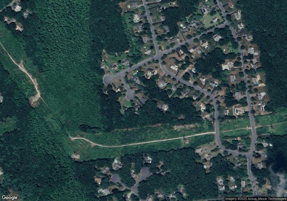
Map
Nearby Homes
- 53 Elyse Rd
- 73 Elyse Rd
- 890 Maple St
- 26 Fredric Ln
- 3 Willow St
- 261 East St
- 4 Erick Rd Unit 90
- 8 Scarlet Ct
- 117 Allen Rd
- 251 Poquanticut Ave
- 631 East St Unit L101
- 3 Angela Dr
- 34 Kevins Way
- 26 Kathleen Grant Rd
- 15 Coach Rd
- 15 Wadsworth Way
- 6 Kingsley Rd
- 9 Independence Dr Unit 9
- 157 Highland St
- 6 Balcom Dr
Your Personal Tour Guide
Ask me questions while you tour the home.