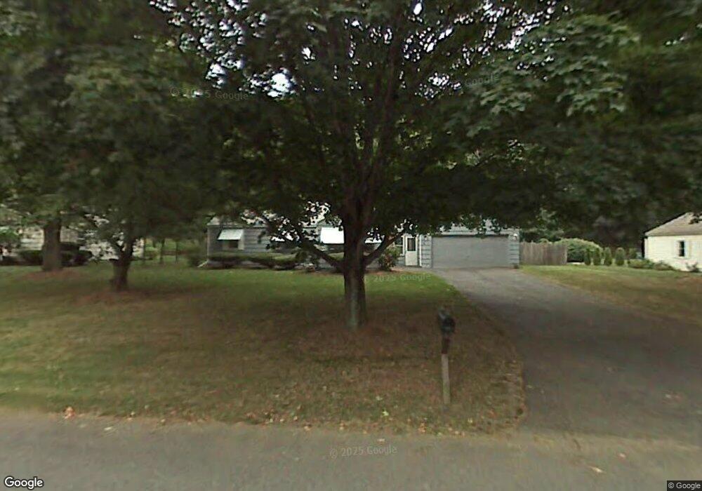
6 Leemond St Wilbraham, MA 01095
Estimated Value: $353,612 - $378,000
3
Beds
2
Baths
1,157
Sq Ft
$321/Sq Ft
Est. Value
About This Home
This home is located at 6 Leemond St, Wilbraham, MA 01095 and is currently estimated at $371,403, approximately $321 per square foot. 6 Leemond St is a home located in Hampden County with nearby schools including Minnechaug Regional High School, Springfield International Charter School, and Wilbraham & Monson Academy.
Ownership History
Date
Name
Owned For
Owner Type
Purchase Details
Closed on
Jun 12, 1987
Sold by
Pinney Bradley W
Bought by
Mulligan Patrick J
Current Estimated Value
Home Financials for this Owner
Home Financials are based on the most recent Mortgage that was taken out on this home.
Original Mortgage
$70,000
Interest Rate
10.47%
Mortgage Type
Purchase Money Mortgage
Create a Home Valuation Report for This Property
The Home Valuation Report is an in-depth analysis detailing your home's value as well as a comparison with similar homes in the area
Home Values in the Area
Average Home Value in this Area
Purchase History
| Date | Buyer | Sale Price | Title Company |
|---|---|---|---|
| Mulligan Patrick J | $133,100 | -- |
Source: Public Records
Mortgage History
| Date | Status | Borrower | Loan Amount |
|---|---|---|---|
| Closed | Mulligan Patrick J | $70,000 |
Source: Public Records
Tax History Compared to Growth
Tax History
| Year | Tax Paid | Tax Assessment Tax Assessment Total Assessment is a certain percentage of the fair market value that is determined by local assessors to be the total taxable value of land and additions on the property. | Land | Improvement |
|---|---|---|---|---|
| 2025 | $5,824 | $325,700 | $97,700 | $228,000 |
| 2024 | $5,613 | $303,400 | $97,700 | $205,700 |
| 2023 | $5,192 | $288,300 | $97,700 | $190,600 |
| 2022 | $5,192 | $253,400 | $97,700 | $155,700 |
| 2021 | $4,930 | $214,700 | $105,100 | $109,600 |
| 2020 | $4,805 | $214,700 | $105,100 | $109,600 |
| 2019 | $4,683 | $214,800 | $105,100 | $109,700 |
| 2018 | $4,476 | $197,700 | $105,100 | $92,600 |
| 2017 | $4,349 | $197,700 | $105,100 | $92,600 |
| 2016 | $4,380 | $202,800 | $116,700 | $86,100 |
| 2015 | $4,234 | $202,800 | $116,700 | $86,100 |
Source: Public Records
Map
Nearby Homes
- 28 Decorie Dr
- 79 High Pine Cir
- 69 High Pine Cir
- 2 Bayberry Dr Unit 51
- 54 High Pine Cir
- 8 Patriot Ridge Ln
- 35 Lake Dr
- 20 Old Orchard Rd
- 4 Hillcrest Dr
- 46 Washington Rd
- 2 Vista Rd
- 474 Mountain Rd
- 6 Teak Terrace Unit 24
- 99 Sandalwood Dr Unit site 00
- 103 Sandalwood Dr Unit site 00
- 57 Sandalwood Dr Unit site 61
- 474-480 Mountain Rd
- 111 Sandalwood Dr Unit site 00
- 19 Linwood Dr
- 10 Forest Glade Dr