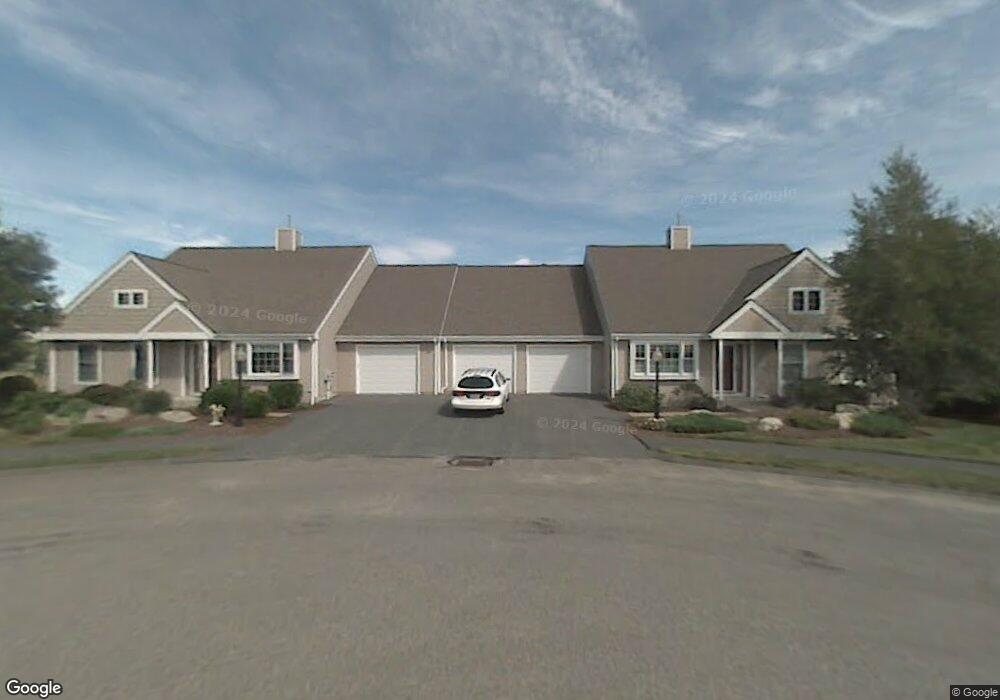
6 Lenox Way Westborough, MA 01581
Estimated Value: $666,552 - $717,000
2
Beds
2
Baths
1,900
Sq Ft
$364/Sq Ft
Est. Value
About This Home
This home is located at 6 Lenox Way, Westborough, MA 01581 and is currently estimated at $691,638, approximately $364 per square foot. 6 Lenox Way is a home located in Worcester County with nearby schools including Westborough High School, Ebridge Montessori School, and Westboro Knowledge Beginnings.
Ownership History
Date
Name
Owned For
Owner Type
Purchase Details
Closed on
May 9, 2025
Sold by
Webb Richard D and Webb Audrey W
Bought by
Webb 2025 T and Webb W
Current Estimated Value
Purchase Details
Closed on
Aug 29, 2022
Sold by
Rene Donna J Est and Symonowicz
Bought by
Webb Richard D and Webb Audrey W
Purchase Details
Closed on
Sep 20, 2010
Sold by
Katoff Janice F
Bought by
Rene Donna J
Purchase Details
Closed on
Aug 31, 2004
Sold by
Weinberg Gerald and Weinberg Marsha
Bought by
Katoff Janice F
Purchase Details
Closed on
Jun 7, 1999
Sold by
Walker Meadow Dev Inc
Bought by
Smith Marion C
Create a Home Valuation Report for This Property
The Home Valuation Report is an in-depth analysis detailing your home's value as well as a comparison with similar homes in the area
Home Values in the Area
Average Home Value in this Area
Purchase History
| Date | Buyer | Sale Price | Title Company |
|---|---|---|---|
| Webb 2025 T | -- | None Available | |
| Webb 2025 T | -- | None Available | |
| Webb Richard D | $625,000 | None Available | |
| Webb Richard D | $625,000 | None Available | |
| Rene Donna J | $335,000 | -- | |
| Rene Donna J | $335,000 | -- | |
| Katoff Janice F | $470,000 | -- | |
| Katoff Janice F | $470,000 | -- | |
| Smith Marion C | $257,818 | -- | |
| Smith Marion C | $257,818 | -- |
Source: Public Records
Mortgage History
| Date | Status | Borrower | Loan Amount |
|---|---|---|---|
| Previous Owner | Smith Marion C | $120,000 |
Source: Public Records
Tax History Compared to Growth
Tax History
| Year | Tax Paid | Tax Assessment Tax Assessment Total Assessment is a certain percentage of the fair market value that is determined by local assessors to be the total taxable value of land and additions on the property. | Land | Improvement |
|---|---|---|---|---|
| 2025 | $9,087 | $557,800 | $0 | $557,800 |
| 2024 | $9,769 | $595,300 | $0 | $595,300 |
| 2023 | $8,122 | $482,300 | $0 | $482,300 |
| 2022 | $8,060 | $435,900 | $0 | $435,900 |
| 2021 | $7,957 | $429,200 | $0 | $429,200 |
| 2020 | $8,872 | $484,300 | $0 | $484,300 |
| 2019 | $8,252 | $450,200 | $0 | $450,200 |
| 2018 | $7,543 | $408,600 | $0 | $408,600 |
| 2017 | $7,567 | $425,100 | $0 | $425,100 |
| 2016 | $6,642 | $373,800 | $0 | $373,800 |
| 2015 | $6,770 | $364,200 | $0 | $364,200 |
Source: Public Records
Map
Nearby Homes
- 52 Treetop Park Unit 52
- 9 Treetop Park
- 19 Treetop Park Unit 19
- 22 Treetop Park
- 9 Shaker Way
- 3 Dover Way
- 8 Stagecoach Cir Unit 8
- 155 Milk St Unit 5
- 155 Milk St Unit 27
- 196 -198 Turnpike Rd
- 4403 Peters Farm Way Unit 403
- 7 Mayberry Dr Unit H
- 14 Mayberry Dr Unit 10
- 48 High Street Extension
- 19 Fisher St
- 43 Church St
- 23 Water St
- 5 Chauncy Cir
- 14 Grove St Unit 2
- 6 Folly Ln
- 6 Lenox Way Unit 6
- 6 Lenox Way Unit 16
- 8 Lenox Way
- 2 Lenox Way
- 4 Lenox Way
- 4 Lenox Way Unit 17
- 11 Lenox Way
- 9 Lenox Way
- 11 Lenox Way Unit 11
- 105 Quaker Way
- 7 Lenox Way
- 5 Lenox Way
- 7 Lenox Way Unit 7
- 47 Treetop Park
- 48 Treetop Park
- 46 Treetop Park
- 48 Treetop Park
- 48 Treetop Park Unit 12D
- 46 Treetop Park Unit B
- 48 Treetop Park Unit 48