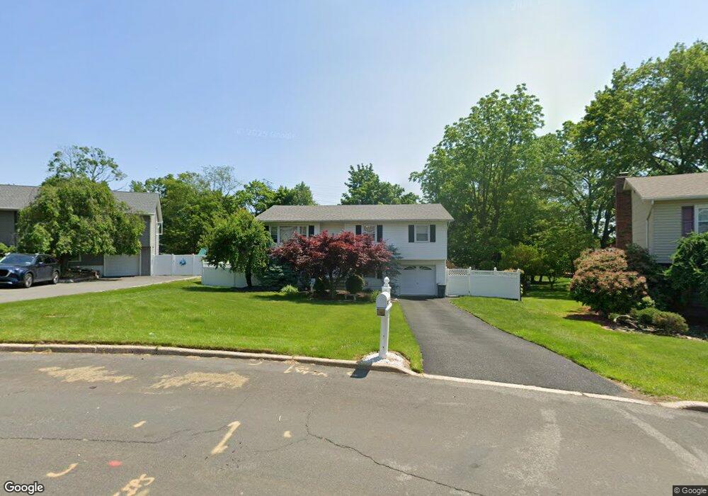
6 Lewis Rd Garnerville, NY 10923
Estimated Value: $656,658 - $771,000
5
Beds
2
Baths
1,472
Sq Ft
$470/Sq Ft
Est. Value
About This Home
This home is located at 6 Lewis Rd, Garnerville, NY 10923 and is currently estimated at $691,915, approximately $470 per square foot. 6 Lewis Rd is a home located in Rockland County with nearby schools including West Haverstraw Elementary School, Haverstraw Elementary School, and Fieldstone Secondary School.
Ownership History
Date
Name
Owned For
Owner Type
Purchase Details
Closed on
Jan 10, 1996
Sold by
Lopresti Anthony and Lopresti Belinda
Bought by
Lopresti Daniel S and Debari Stephanie
Current Estimated Value
Home Financials for this Owner
Home Financials are based on the most recent Mortgage that was taken out on this home.
Original Mortgage
$155,200
Outstanding Balance
$2,080
Interest Rate
7.16%
Mortgage Type
Construction
Estimated Equity
$689,835
Create a Home Valuation Report for This Property
The Home Valuation Report is an in-depth analysis detailing your home's value as well as a comparison with similar homes in the area
Home Values in the Area
Average Home Value in this Area
Purchase History
| Date | Buyer | Sale Price | Title Company |
|---|---|---|---|
| Lopresti Daniel S | $194,000 | Security Title & Guaranty Co | |
| Lopresti Daniel S | $194,000 | Security Title & Guaranty Co | |
| Lopresti Daniel S | $194,000 | Security Title & Guaranty Co |
Source: Public Records
Mortgage History
| Date | Status | Borrower | Loan Amount |
|---|---|---|---|
| Open | Lopresti Daniel S | $155,200 | |
| Closed | Lopresti Daniel S | $155,200 |
Source: Public Records
Tax History Compared to Growth
Tax History
| Year | Tax Paid | Tax Assessment Tax Assessment Total Assessment is a certain percentage of the fair market value that is determined by local assessors to be the total taxable value of land and additions on the property. | Land | Improvement |
|---|---|---|---|---|
| 2024 | $21,747 | $284,000 | $103,700 | $180,300 |
| 2023 | $21,747 | $284,000 | $103,700 | $180,300 |
| 2022 | $4,566 | $284,000 | $103,700 | $180,300 |
| 2021 | $21,508 | $284,000 | $103,700 | $180,300 |
| 2020 | $12,447 | $284,000 | $103,700 | $180,300 |
| 2019 | $4,026 | $284,000 | $103,700 | $180,300 |
| 2018 | $12,110 | $284,000 | $103,700 | $180,300 |
| 2017 | $11,349 | $284,000 | $103,700 | $180,300 |
| 2016 | $11,331 | $284,000 | $103,700 | $180,300 |
| 2015 | -- | $284,000 | $103,700 | $180,300 |
| 2014 | -- | $284,000 | $103,700 | $180,300 |
Source: Public Records
Map
Nearby Homes
- 2 Mcgovern Dr
- 7 Southpark Dr
- 20 Madison Ave
- 4 Suffern Place
- 20 Main St Unit 39
- 20 Main St Unit 20
- 20 Main St Unit 9
- 21 Donaldson Ln
- 21 Bridge St
- 21 Capt Shankey Dr
- 2 Ridge St
- 28 Hewitt St
- 12 Sand St
- 54 Ossman Ct
- 50 Major Andre Dr
- 46 Jones Dr
- 67 Capt Shankey Dr
- 31 Farley Dr
- 75 Capt Shankey Dr
- 6 Hemlock Ln