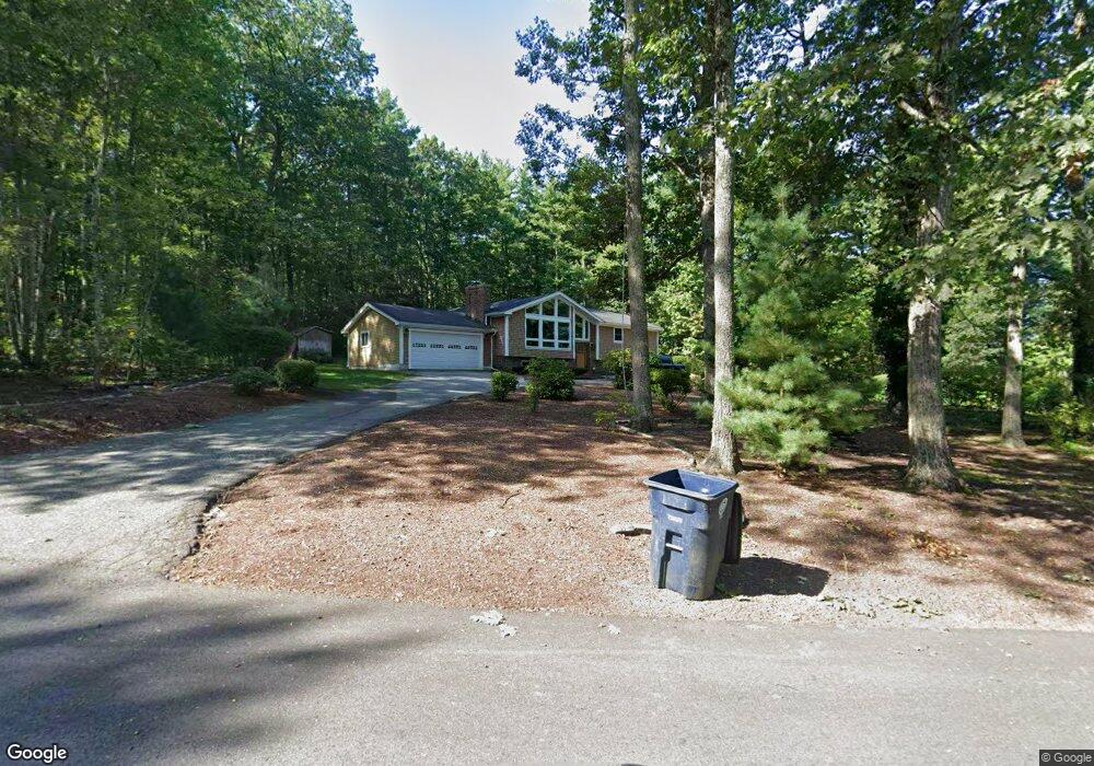
6 Massasoit Rd Nashua, NH 03063
Northwest Nashua NeighborhoodEstimated Value: $597,000 - $900,112
3
Beds
5
Baths
1,396
Sq Ft
$528/Sq Ft
Est. Value
About This Home
This home is located at 6 Massasoit Rd, Nashua, NH 03063 and is currently estimated at $737,778, approximately $528 per square foot. 6 Massasoit Rd is a home located in Hillsborough County with nearby schools including Birch Hill Elementary School, Elm Street Middle School, and Nashua High School North.
Ownership History
Date
Name
Owned For
Owner Type
Purchase Details
Closed on
May 21, 2002
Sold by
Doyle James T
Bought by
Jacobs Carol J and Jacobs Michael
Current Estimated Value
Home Financials for this Owner
Home Financials are based on the most recent Mortgage that was taken out on this home.
Original Mortgage
$248,400
Outstanding Balance
$106,511
Interest Rate
7.15%
Estimated Equity
$631,267
Create a Home Valuation Report for This Property
The Home Valuation Report is an in-depth analysis detailing your home's value as well as a comparison with similar homes in the area
Home Values in the Area
Average Home Value in this Area
Purchase History
| Date | Buyer | Sale Price | Title Company |
|---|---|---|---|
| Jacobs Carol J | $276,000 | -- |
Source: Public Records
Mortgage History
| Date | Status | Borrower | Loan Amount |
|---|---|---|---|
| Open | Jacobs Carol J | $76,787 | |
| Open | Jacobs Carol J | $248,400 |
Source: Public Records
Tax History Compared to Growth
Tax History
| Year | Tax Paid | Tax Assessment Tax Assessment Total Assessment is a certain percentage of the fair market value that is determined by local assessors to be the total taxable value of land and additions on the property. | Land | Improvement |
|---|---|---|---|---|
| 2024 | $9,467 | $595,400 | $192,100 | $403,300 |
| 2023 | $9,084 | $498,300 | $153,700 | $344,600 |
| 2022 | $9,004 | $498,300 | $153,700 | $344,600 |
| 2021 | $8,958 | $385,800 | $122,900 | $262,900 |
| 2020 | $9,030 | $399,400 | $122,900 | $276,500 |
| 2019 | $8,691 | $399,400 | $122,900 | $276,500 |
| 2018 | $8,471 | $399,400 | $122,900 | $276,500 |
| 2017 | $8,083 | $313,400 | $109,500 | $203,900 |
| 2016 | $7,857 | $313,400 | $109,500 | $203,900 |
| 2015 | $7,688 | $313,400 | $109,500 | $203,900 |
| 2014 | $7,537 | $313,400 | $109,500 | $203,900 |
Source: Public Records
Map
Nearby Homes
- 75 Deerwood Dr Unit B
- 5 Chatfield Dr Unit U18
- 5 Dumaine Ave Unit B
- 5 Dumaine Ave Unit N
- 26 Andover Down Unit 276
- 3 Cranleigh Mews Unit U297
- 36 Hampton Dr
- 7 Robert Dr
- 201 Millwright Dr
- 74 Cannongate III Unit 3
- 3 Roedean Dr Unit C-207
- 19 Dunloggin Rd
- 123 Cannongate III
- 74 Profile Cir
- 2 Broadcrest Ln
- 2 Denise St
- 239 Broad St
- 6 Cornwall Ln Unit 7
- 3 Wright Rd
- 199 Pine Hill Rd
- 4 Massasoit Rd
- 8 Massasoit Rd
- 2 Blackfoot Dr
- 1 Blackfoot Dr
- 7 Massasoit Rd
- 4 Blackfoot Dr
- 47 Indian Rock Rd
- 1 Massasoit Rd
- 49 Indian Rock Rd
- 12 Massasoit Rd
- 3 Blackfoot Dr
- 9 Massasoit Rd
- 46 Indian Rock Rd
- 51 Indian Rock Rd
- 6 Blackfoot Dr
- 48 Indian Rock Rd
- 43 Indian Rock Rd
- 44 Indian Rock Rd
- 15 Massasoit Rd
- 5 Blackfoot Dr