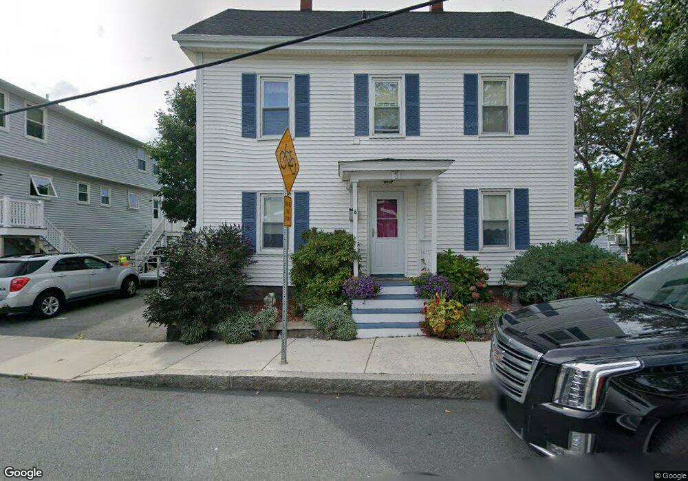
6 Millett St Gloucester, MA 01930
Central Gloucester NeighborhoodEstimated Value: $432,000 - $606,000
5
Beds
2
Baths
1,637
Sq Ft
$340/Sq Ft
Est. Value
About This Home
This home is located at 6 Millett St, Gloucester, MA 01930 and is currently estimated at $556,394, approximately $339 per square foot. 6 Millett St is a home located in Essex County with nearby schools including East Veterans Memorial Elementary, Ralph B O'maley Middle School, and Gloucester High School.
Ownership History
Date
Name
Owned For
Owner Type
Purchase Details
Closed on
Jun 7, 1989
Sold by
Atello Joseph
Bought by
Lapine Steven J
Current Estimated Value
Create a Home Valuation Report for This Property
The Home Valuation Report is an in-depth analysis detailing your home's value as well as a comparison with similar homes in the area
Home Values in the Area
Average Home Value in this Area
Purchase History
| Date | Buyer | Sale Price | Title Company |
|---|---|---|---|
| Lapine Steven J | $14,000 | -- |
Source: Public Records
Mortgage History
| Date | Status | Borrower | Loan Amount |
|---|---|---|---|
| Open | Lapine Steven J | $200,000 | |
| Closed | Lapine Steven J | $95,000 | |
| Closed | Lapine Steven J | $100,000 | |
| Closed | Lapine Steven J | $105,900 |
Source: Public Records
Tax History
| Year | Tax Paid | Tax Assessment Tax Assessment Total Assessment is a certain percentage of the fair market value that is determined by local assessors to be the total taxable value of land and additions on the property. | Land | Improvement |
|---|---|---|---|---|
| 2025 | $4,781 | $491,900 | $120,000 | $371,900 |
| 2024 | $4,731 | $486,200 | $114,300 | $371,900 |
| 2023 | $4,519 | $426,700 | $102,000 | $324,700 |
| 2022 | $4,374 | $372,900 | $88,700 | $284,200 |
| 2021 | $4,220 | $339,200 | $80,600 | $258,600 |
| 2020 | $4,160 | $337,400 | $80,600 | $256,800 |
| 2019 | $3,933 | $309,900 | $80,600 | $229,300 |
| 2018 | $3,754 | $290,300 | $80,600 | $209,700 |
| 2017 | $3,580 | $271,400 | $72,600 | $198,800 |
| 2016 | $3,245 | $238,400 | $72,600 | $165,800 |
| 2015 | $3,079 | $225,600 | $72,600 | $153,000 |
Source: Public Records
Map
Nearby Homes
- 50 Warner St
- 113 Pleasant St
- 40 Sargent St
- 33 Maplewood Ave Unit 310
- 12 Arthur St
- 19 Trask St Unit 2
- 9 Cleveland Place
- 98 Maplewood Ave
- 139A Prospect St
- 120 Washington St
- 8 Mystic Ave
- 13 Mystic Ave
- 191 Main St Unit 3
- 191 Main St Unit 2A
- 35 Middle St Unit 4
- 6 Monroe Ct
- 20 Beacon St
- 20 Beacon St Unit 2
- 20 Beacon St Unit 1
- 33 Middle St
Your Personal Tour Guide
Ask me questions while you tour the home.