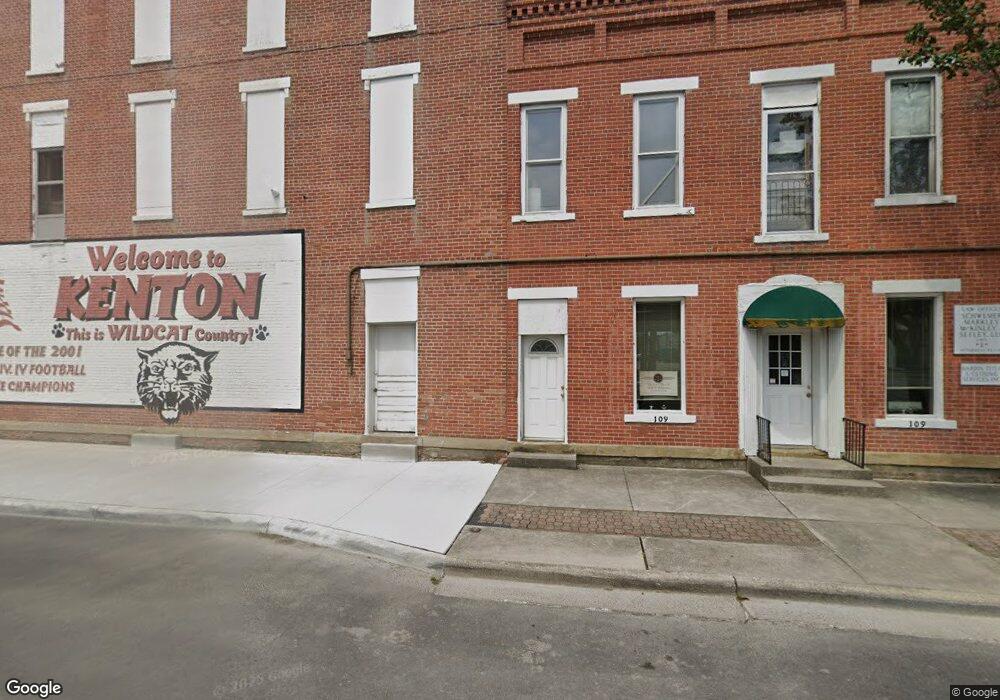
6 N Main St Kenton, OH 43326
Estimated Value: $30,446
--
Bed
--
Bath
2,190
Sq Ft
$14/Sq Ft
Est. Value
About This Home
This home is located at 6 N Main St, Kenton, OH 43326 and is currently estimated at $30,446, approximately $13 per square foot. 6 N Main St is a home located in Hardin County with nearby schools including Kenton Elementary School, Kenton Middle School, and Kenton High School.
Ownership History
Date
Name
Owned For
Owner Type
Purchase Details
Closed on
Jan 11, 2024
Sold by
Dawson Timothy D
Bought by
Tim Dawson Holdings Llc
Current Estimated Value
Purchase Details
Closed on
May 24, 2019
Sold by
Nextron Systems Reference Group Inc
Bought by
Dawson Timothy D
Purchase Details
Closed on
Aug 23, 2002
Bought by
Nextron Systems Referenc
Purchase Details
Closed on
Mar 27, 1996
Bought by
Struble Don C
Purchase Details
Closed on
Sep 20, 1989
Create a Home Valuation Report for This Property
The Home Valuation Report is an in-depth analysis detailing your home's value as well as a comparison with similar homes in the area
Home Values in the Area
Average Home Value in this Area
Purchase History
| Date | Buyer | Sale Price | Title Company |
|---|---|---|---|
| Tim Dawson Holdings Llc | -- | None Listed On Document | |
| Dawson Timothy D | $17,000 | Valmer Land Title Agency | |
| Nextron Systems Referenc | $12,000 | -- | |
| Struble Don C | $38,500 | -- | |
| -- | $20,000 | -- |
Source: Public Records
Tax History Compared to Growth
Tax History
| Year | Tax Paid | Tax Assessment Tax Assessment Total Assessment is a certain percentage of the fair market value that is determined by local assessors to be the total taxable value of land and additions on the property. | Land | Improvement |
|---|---|---|---|---|
| 2024 | $453 | $5,760 | $2,300 | $3,460 |
| 2023 | $453 | $5,760 | $2,300 | $3,460 |
| 2022 | $432 | $5,390 | $1,930 | $3,460 |
| 2021 | $434 | $5,390 | $1,930 | $3,460 |
| 2020 | $401 | $5,390 | $1,930 | $3,460 |
| 2019 | $393 | $5,300 | $1,840 | $3,460 |
| 2018 | $393 | $5,300 | $1,840 | $3,460 |
| 2017 | $388 | $5,300 | $1,840 | $3,460 |
| 2016 | $437 | $6,230 | $2,770 | $3,460 |
| 2015 | $309 | $6,230 | $2,770 | $3,460 |
| 2014 | $430 | $6,230 | $2,770 | $3,460 |
| 2013 | $213 | $6,230 | $2,770 | $3,460 |
Source: Public Records
Map
Nearby Homes
- 215 N Main St
- 219 W Carrol St
- 121 S High St
- 233 N Main St
- 310 N Market St
- 328 N Detroit St
- 513 E Franklin St
- 509 E Carrol St
- 530 E Franklin St
- 508 Decatur St
- 39 Grape St
- 510 Decatur St
- 424 W Carrol St
- 416 N Cherry St
- 609 W North St
- 0 N Barron St
- 0 Ohio 309
- 79 Broadway St
- 702 W Franklin St Unit 702 1/2
- 115 Scioto St
- 20 N Main St
- 59 N Main St
- 28 N Main St
- 118 E Columbus St
- 30 N Main St
- 116 E Columbus St
- 202 E Franklin St
- 210 E Franklin St
- 118 S Main St
- 200 E Columbus St
- 175 W Franklin St
- 211 E Franklin St
- 100 W Columbus St
- 212 E Franklin St
- 213 E Franklin St
- 120 S Main St
- 212 E Columbus St
- 108 W Columbus St
- 110 W Columbus St