Estimated Value: $408,872 - $495,000
3
Beds
2
Baths
1,560
Sq Ft
$286/Sq Ft
Est. Value
About This Home
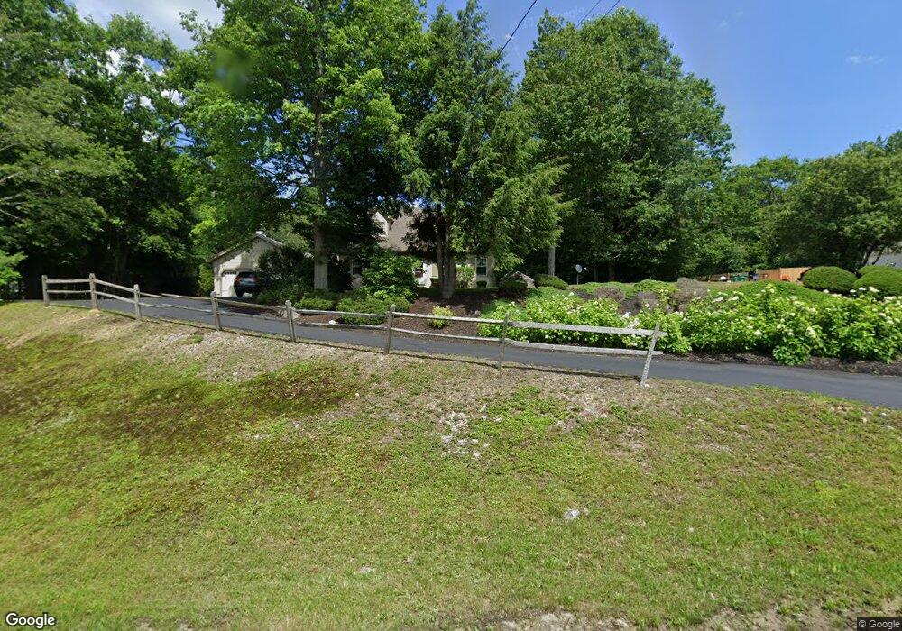
This home is located at 6 Red Oak Dr, Keene, NH 03431 and is currently estimated at $446,468, approximately $286 per square foot. 6 Red Oak Dr is a home with nearby schools including Fuller Elementary School and Keene High School.
Ownership History
Date
Name
Owned For
Owner Type
Purchase Details
Closed on
Nov 18, 1999
Sold by
Sacala Joseph J and Sacala Jamie A
Bought by
Mcdonough Thomas R and Mcdonough Karen L
Current Estimated Value
Home Financials for this Owner
Home Financials are based on the most recent Mortgage that was taken out on this home.
Original Mortgage
$109,500
Outstanding Balance
$33,455
Interest Rate
7.76%
Estimated Equity
$413,013
Purchase Details
Closed on
Aug 27, 1998
Sold by
King John M and King Brenda J
Bought by
Scala Joseph J and Scala Jamie A
Home Financials for this Owner
Home Financials are based on the most recent Mortgage that was taken out on this home.
Original Mortgage
$126,900
Interest Rate
6.9%
Create a Home Valuation Report for This Property
The Home Valuation Report is an in-depth analysis detailing your home's value as well as a comparison with similar homes in the area
Purchase History
| Date | Buyer | Sale Price | Title Company |
|---|---|---|---|
| Mcdonough Thomas R | $152,500 | -- | |
| Scala Joseph J | $141,000 | -- |
Source: Public Records
Mortgage History
| Date | Status | Borrower | Loan Amount |
|---|---|---|---|
| Open | Scala Joseph J | $109,500 | |
| Previous Owner | Scala Joseph J | $126,900 |
Source: Public Records
Tax History
| Year | Tax Paid | Tax Assessment Tax Assessment Total Assessment is a certain percentage of the fair market value that is determined by local assessors to be the total taxable value of land and additions on the property. | Land | Improvement |
|---|---|---|---|---|
| 2024 | $9,408 | $284,500 | $65,000 | $219,500 |
| 2023 | $8,881 | $278,500 | $59,000 | $219,500 |
| 2022 | $8,642 | $278,500 | $59,000 | $219,500 |
| 2021 | $8,711 | $278,500 | $59,000 | $219,500 |
| 2020 | $8,116 | $217,700 | $54,900 | $162,800 |
| 2019 | $8,186 | $217,700 | $54,900 | $162,800 |
| 2018 | $8,081 | $217,700 | $54,900 | $162,800 |
| 2017 | $8,103 | $217,700 | $54,900 | $162,800 |
| 2016 | $7,922 | $217,700 | $54,900 | $162,800 |
| 2015 | $8,011 | $232,800 | $70,900 | $161,900 |
Source: Public Records
Map
Nearby Homes
- Lot 4 Belvedere Rd
- 225B Belvedere Rd Unit B
- 161 Concord Rd
- 00 Concord Rd Unit 32
- 258 Valley Rd
- 0 New Hampshire 10 Unit 7
- 224 Darling Rd
- 143 Village Rd
- 28 Village Rd
- 24 Village Rd
- 0 Peg Shop Rd Unit 22-1
- 67 Oriole Ave
- 11 Walnut St
- 211 Elm St
- 362 Court St
- 50 Forest St
- 60 Butternut Dr
- 471 Chapman Rd
- 13 Brook St
- Lot 27-1 Old Walpole Rd
- 2 Red Oak Dr
- 8 Red Oak Dr
- 2 Centre St
- 0 Centre St
- 0 Centre St Unit 4984074
- 0 Centre St Unit 4182686
- 0 Centre St Unit 4087425
- 0 Centre St Unit 4066393
- 0 Centre St Unit 4067829
- 116 Sullivan Center Rd
- 1 Centre St
- 0 Sullivan Center Rd Unit Lot 2 4947359
- 11 Red Oak Dr
- 102 Sullivan Center Rd
- 18 Red Oak Dr
- 16 Red Oak Dr
- 17 Martin Ct
- 17 Red Oak Dr
- 20 Red Oak Dr
- 7 Martin Ct
Your Personal Tour Guide
Ask me questions while you tour the home.