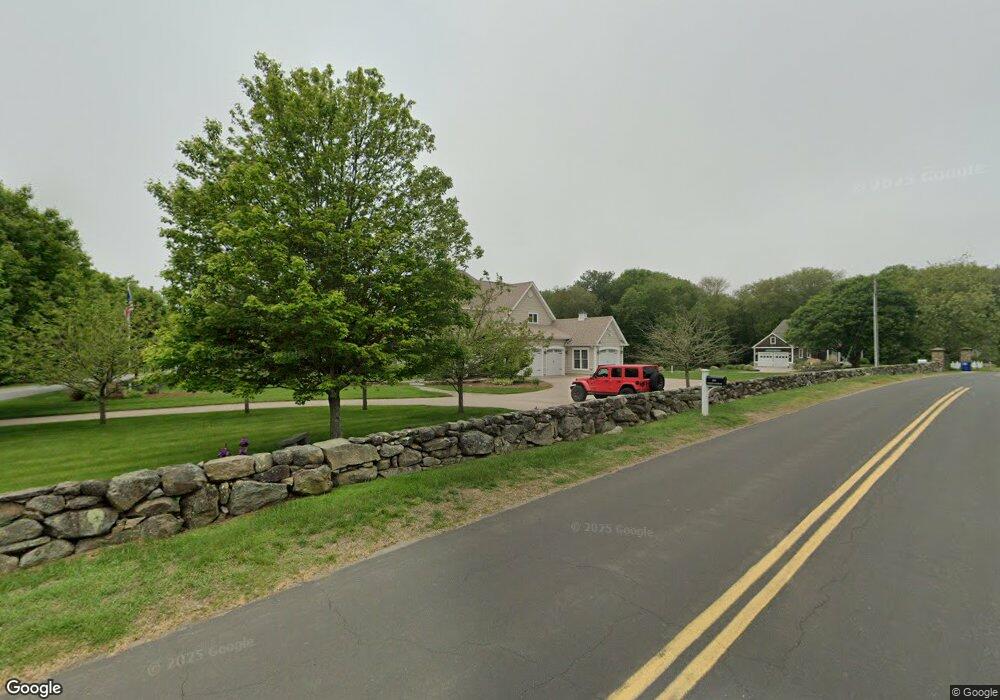
6 Riverside Dr Pawcatuck, CT 06379
Estimated Value: $652,000 - $1,321,000
3
Beds
3
Baths
3,008
Sq Ft
$362/Sq Ft
Est. Value
About This Home
This home is located at 6 Riverside Dr, Pawcatuck, CT 06379 and is currently estimated at $1,088,643, approximately $361 per square foot. 6 Riverside Dr is a home located in New London County with nearby schools including Stonington Middle School, Stonington High School, and Pine Point School.
Ownership History
Date
Name
Owned For
Owner Type
Purchase Details
Closed on
Oct 17, 2023
Sold by
Allan Teixeira T and Allan Teizeira
Bought by
Wall Caroline T
Current Estimated Value
Purchase Details
Closed on
Mar 17, 2016
Sold by
Teixeira Allan and Texeira Lydia
Bought by
Allan Teixeira Ret and Teixeira
Create a Home Valuation Report for This Property
The Home Valuation Report is an in-depth analysis detailing your home's value as well as a comparison with similar homes in the area
Home Values in the Area
Average Home Value in this Area
Purchase History
| Date | Buyer | Sale Price | Title Company |
|---|---|---|---|
| Wall Caroline T | -- | None Available | |
| Wall Caroline T | -- | None Available | |
| Allan Teixeira Ret | -- | -- | |
| Allan Teixeira Ret | -- | -- |
Source: Public Records
Tax History
| Year | Tax Paid | Tax Assessment Tax Assessment Total Assessment is a certain percentage of the fair market value that is determined by local assessors to be the total taxable value of land and additions on the property. | Land | Improvement |
|---|---|---|---|---|
| 2025 | $13,246 | $691,700 | $111,900 | $579,800 |
| 2024 | $12,679 | $691,700 | $111,900 | $579,800 |
| 2023 | $12,561 | $691,700 | $111,900 | $579,800 |
| 2022 | $10,428 | $425,800 | $93,400 | $332,400 |
| 2021 | $10,513 | $425,800 | $93,400 | $332,400 |
| 2020 | $10,292 | $425,800 | $93,400 | $332,400 |
| 2019 | $10,360 | $425,800 | $93,400 | $332,400 |
| 2018 | $10,011 | $425,800 | $93,400 | $332,400 |
| 2017 | $8,697 | $364,500 | $97,600 | $266,900 |
| 2016 | $8,405 | $364,500 | $97,600 | $266,900 |
| 2015 | $8,045 | $364,500 | $97,600 | $266,900 |
| 2014 | $7,682 | $362,700 | $97,600 | $265,100 |
Source: Public Records
Map
Nearby Homes
- 417 River Rd
- 60 Avondale Rd
- 16 Green Ave
- 0 Green Ave
- 9 Champlin Dr
- 4 Quail Run
- 4 Shore Rd
- 45 Summertime Cir
- 23 Summertime Cir
- 22 Summertime Cir
- 38 Summertime Cir
- 25 Summertime Cir
- 39 Summertime Cir
- 18 Timothy Dr
- 10 Tristam St
- 20 Browning Rd
- 27 Benson Ave
- 24 Abbey Ln Unit 13
- 23 Abbey Ln Unit 12
- 9 Compass Way Unit 201
- 595 Greenhaven Rd
- 16 Riverside Dr
- 0 Riverside Dr
- 589 Greenhaven Rd
- 599 Greenhaven Rd
- 7 Riverside Dr
- 582 Greenhaven Rd
- 22 Riverside Dr
- 606 Greenhaven Rd
- 13 Riverside Dr
- 583 Greenhaven Rd
- 607 Greenhaven Rd
- 10 Sunrise Ave
- 26 Riverside Dr
- 14 Sunrise Ave
- 23 Riverside Dr
- 32 Riverside Dr
- 565 Greenhaven Rd
- 21 Sunrise Ave
- 430 River Rd
Your Personal Tour Guide
Ask me questions while you tour the home.