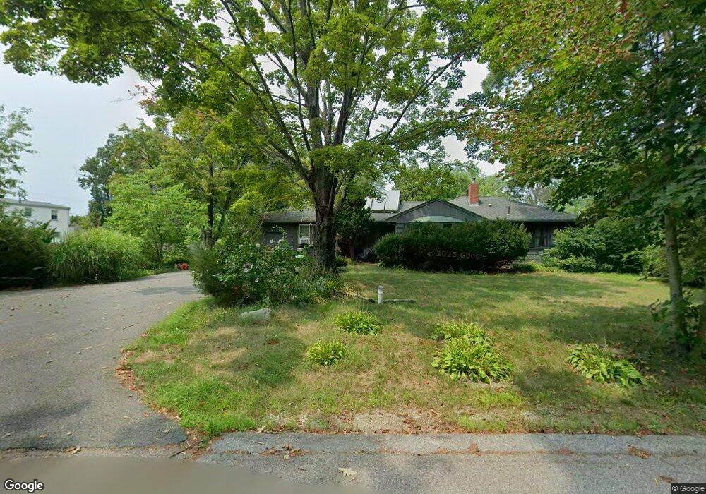
6 Robinson Ln Norton, MA 02766
Estimated Value: $586,000 - $709,000
3
Beds
2
Baths
1,361
Sq Ft
$466/Sq Ft
Est. Value
About This Home
This home is located at 6 Robinson Ln, Norton, MA 02766 and is currently estimated at $634,415, approximately $466 per square foot. 6 Robinson Ln is a home located in Bristol County with nearby schools including J.C. Solmonese Elementary School, Henri A. Yelle Elementary School, and Norton Middle School.
Ownership History
Date
Name
Owned For
Owner Type
Purchase Details
Closed on
Dec 29, 2008
Sold by
Ribeiro John J and Ribeiro Hilda R
Bought by
Sullivan David C and Sullivan Darlene L
Current Estimated Value
Home Financials for this Owner
Home Financials are based on the most recent Mortgage that was taken out on this home.
Original Mortgage
$162,800
Outstanding Balance
$107,340
Interest Rate
6.17%
Mortgage Type
Purchase Money Mortgage
Estimated Equity
$527,075
Create a Home Valuation Report for This Property
The Home Valuation Report is an in-depth analysis detailing your home's value as well as a comparison with similar homes in the area
Home Values in the Area
Average Home Value in this Area
Purchase History
| Date | Buyer | Sale Price | Title Company |
|---|---|---|---|
| Sullivan David C | $260,000 | -- |
Source: Public Records
Mortgage History
| Date | Status | Borrower | Loan Amount |
|---|---|---|---|
| Open | Sullivan David C | $162,800 |
Source: Public Records
Tax History
| Year | Tax Paid | Tax Assessment Tax Assessment Total Assessment is a certain percentage of the fair market value that is determined by local assessors to be the total taxable value of land and additions on the property. | Land | Improvement |
|---|---|---|---|---|
| 2025 | $6,297 | $485,500 | $163,100 | $322,400 |
| 2024 | $6,027 | $465,400 | $155,400 | $310,000 |
| 2023 | $5,708 | $439,400 | $146,500 | $292,900 |
| 2022 | $5,520 | $387,100 | $133,200 | $253,900 |
| 2021 | $5,088 | $340,800 | $126,900 | $213,900 |
| 2020 | $4,902 | $331,200 | $123,200 | $208,000 |
| 2019 | $4,713 | $316,300 | $118,500 | $197,800 |
| 2018 | $4,474 | $295,100 | $112,300 | $182,800 |
| 2017 | $4,339 | $282,300 | $112,300 | $170,000 |
| 2016 | $3,943 | $252,600 | $105,700 | $146,900 |
| 2015 | $3,801 | $247,000 | $103,600 | $143,400 |
| 2014 | $3,686 | $239,800 | $98,700 | $141,100 |
Source: Public Records
Map
Nearby Homes
- 93 Mansfield Ave
- 157 Mansfield Ave Unit 27
- 157 Mansfield Ave Unit 14
- 101 Godfrey Dr Unit 101
- 343 Godfrey Dr
- 5 Robin Cir Unit 5
- 21 Juniper Rd
- 0 Brook Pkwy
- 250 Mansfield Ave Unit 11
- 0 Cobb St
- 83 W Main St
- 16 Holly Rd
- 19 Barberry Rd
- 143 Oak St Unit 10
- 20 Lloyd Cir Unit 32
- 14 Lloyd Cir Unit 29
- 26 Barrows Ct
- 8 Country Cir
- 2 Edgewater Dr Unit 2
- 0 S Washington St Unit 73437419
- 125 Mansfield Ave
- 123 Mansfield Ave
- 10 Robinson Ln
- 130 Mansfield Ave Unit B
- 130 Mansfield Ave
- 130 Mansfield Ave Unit 2
- 15 Robinson Ln
- 113 Mansfield Ave
- 18 Robinson Ln
- 120 Mansfield Ave
- 21 Robinson Ln
- 19 Robinson Ln
- 19 Robinson Ln Unit 1
- 23 Robinson Ln
- 114 Mansfield Ave
- 24 Robinson Ln
- 116-120 Mansfield Ave
- 116 Mansfield Ave
- 126 Mansfield Ave Unit 1
- 126 Mansfield Ave
Your Personal Tour Guide
Ask me questions while you tour the home.