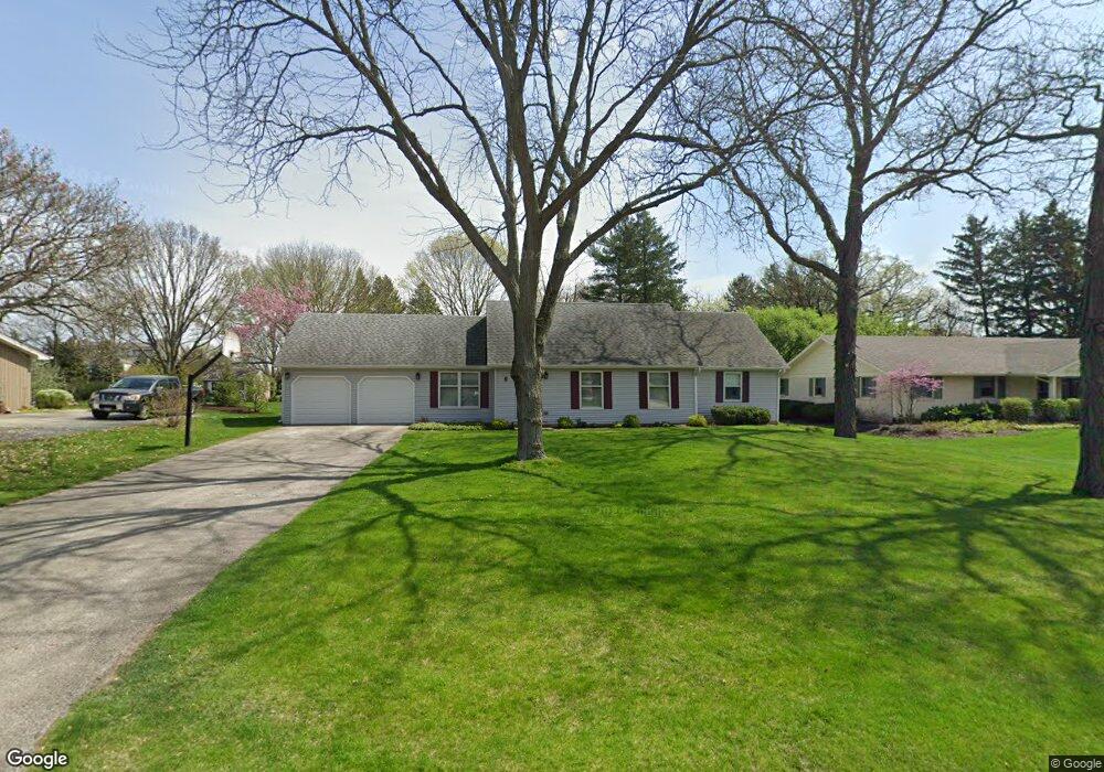
6 Windcrest Dr Unit 2 Oswego, IL 60543
North Oswego NeighborhoodEstimated Value: $354,589 - $378,000
2
Beds
2
Baths
1,745
Sq Ft
$211/Sq Ft
Est. Value
About This Home
This home is located at 6 Windcrest Dr Unit 2, Oswego, IL 60543 and is currently estimated at $368,147, approximately $210 per square foot. 6 Windcrest Dr Unit 2 is a home located in Kendall County with nearby schools including Old Post Elementary School, Thompson Jr. High School, and Oswego High School.
Ownership History
Date
Name
Owned For
Owner Type
Purchase Details
Closed on
Nov 21, 1997
Sold by
Woolley Brian N
Bought by
Meyle William H and Meyle Joyce K
Current Estimated Value
Home Financials for this Owner
Home Financials are based on the most recent Mortgage that was taken out on this home.
Original Mortgage
$120,000
Outstanding Balance
$19,763
Interest Rate
7.32%
Estimated Equity
$348,384
Create a Home Valuation Report for This Property
The Home Valuation Report is an in-depth analysis detailing your home's value as well as a comparison with similar homes in the area
Home Values in the Area
Average Home Value in this Area
Purchase History
| Date | Buyer | Sale Price | Title Company |
|---|---|---|---|
| Meyle William H | $159,000 | -- |
Source: Public Records
Mortgage History
| Date | Status | Borrower | Loan Amount |
|---|---|---|---|
| Open | Meyle William H | $120,000 |
Source: Public Records
Tax History
| Year | Tax Paid | Tax Assessment Tax Assessment Total Assessment is a certain percentage of the fair market value that is determined by local assessors to be the total taxable value of land and additions on the property. | Land | Improvement |
|---|---|---|---|---|
| 2024 | $3,965 | $102,137 | $25,155 | $76,982 |
| 2023 | $6,560 | $92,015 | $22,662 | $69,353 |
| 2022 | $6,560 | $83,650 | $20,602 | $63,048 |
| 2021 | $4,610 | $80,433 | $19,810 | $60,623 |
| 2020 | $4,656 | $74,475 | $18,343 | $56,132 |
| 2019 | $4,730 | $69,372 | $18,343 | $51,029 |
| 2018 | $4,925 | $67,813 | $17,931 | $49,882 |
| 2017 | $5,051 | $67,813 | $17,931 | $49,882 |
| 2016 | $2,562 | $65,838 | $17,409 | $48,429 |
| 2015 | $2,688 | $64,547 | $17,068 | $47,479 |
| 2014 | -- | $62,667 | $16,571 | $46,096 |
| 2013 | -- | $63,300 | $16,738 | $46,562 |
Source: Public Records
Map
Nearby Homes
- 1300 Orchard Rd
- 3 Orchard Rd
- 123 Orchard Rd
- 2 Orchard Rd
- 135 Chesterfield Dr
- 520 Chesterfield Ct
- 82 Ashlawn Ave
- 420 Chesterfield Ct Unit 420
- 1451 Vintage Dr
- 9 Fieldcrest Dr
- 740 Alberta Ave
- 9 Cebold Dr
- 397 Cascade Ln Unit 2
- 621 Mansfield Way
- 401 Bower Ln
- 133 River Mist Dr Unit 3
- 135 River Mist Dr Unit 2
- 101 Bell Ct
- 2110 State Route 31
- Lyndale Plan at Southbury
- 8 Windcrest Dr
- 4 Windcrest Dr
- 5 Robinhood Cir
- 3 Robinhood Cir
- 9 Windcrest Dr
- 7 Windcrest Dr Unit 2
- 10 Windcrest Dr
- 11 Windcrest Dr
- 7 Robinhood Cir
- 302 Lombardy Ln
- 303 Orchard Ave Unit 2
- 301 Orchard Ave
- 5 Windcrest Dr
- 13 Windcrest Dr
- 305 Orchard Ave Unit 2
- 3 Windcrest Dr
- 304 Lombardy Ln
- 222 Lombardy Ln
- 17 Partridge Square
- 9 Robinhood Cir Unit 2