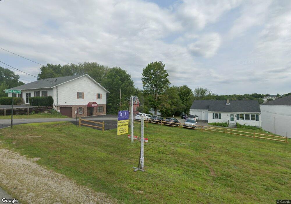
6 Wood Ave Wolfeboro, NH 03894
Estimated Value: $412,000 - $843,000
2
Beds
1
Bath
993
Sq Ft
$639/Sq Ft
Est. Value
About This Home
This home is located at 6 Wood Ave, Wolfeboro, NH 03894 and is currently estimated at $634,070, approximately $638 per square foot. 6 Wood Ave is a home with nearby schools including Carpenter Elementary School, Crescent Lake School, and Kingswood Regional Middle School.
Ownership History
Date
Name
Owned For
Owner Type
Purchase Details
Closed on
Feb 22, 2024
Sold by
Williams Jason T
Bought by
Truluck Williams T and Truluck Williams
Current Estimated Value
Purchase Details
Closed on
Aug 2, 2005
Sold by
Kuehnle John C
Bought by
Truluck-Williams Jason and Truluck-William Deidree J
Home Financials for this Owner
Home Financials are based on the most recent Mortgage that was taken out on this home.
Original Mortgage
$319,200
Interest Rate
5.67%
Mortgage Type
Purchase Money Mortgage
Create a Home Valuation Report for This Property
The Home Valuation Report is an in-depth analysis detailing your home's value as well as a comparison with similar homes in the area
Home Values in the Area
Average Home Value in this Area
Purchase History
| Date | Buyer | Sale Price | Title Company |
|---|---|---|---|
| Truluck Williams T | -- | None Available | |
| Truluck-Williams Jason | $399,000 | -- |
Source: Public Records
Mortgage History
| Date | Status | Borrower | Loan Amount |
|---|---|---|---|
| Previous Owner | Truluck-Williams Jason | $271,200 | |
| Previous Owner | Truluck-Williams Jason | $319,200 |
Source: Public Records
Tax History Compared to Growth
Tax History
| Year | Tax Paid | Tax Assessment Tax Assessment Total Assessment is a certain percentage of the fair market value that is determined by local assessors to be the total taxable value of land and additions on the property. | Land | Improvement |
|---|---|---|---|---|
| 2024 | $5,843 | $367,500 | $298,100 | $69,400 |
| 2023 | $5,399 | $367,500 | $298,100 | $69,400 |
| 2022 | $4,858 | $367,500 | $298,100 | $69,400 |
| 2021 | $5,024 | $367,500 | $298,100 | $69,400 |
| 2020 | $1,479 | $367,500 | $298,100 | $69,400 |
| 2019 | $1,417 | $357,500 | $298,100 | $59,400 |
| 2018 | $1,072 | $357,500 | $298,100 | $59,400 |
| 2017 | $1,056 | $357,500 | $298,100 | $59,400 |
| 2016 | $1,067 | $356,500 | $298,100 | $58,400 |
Source: Public Records
Map
Nearby Homes
- 61 Lehner St
- 68 Railroad Ave Unit 3
- 108 Center St
- 172 Center St
- 222 N Main St
- 79 River St
- 79 S Main St
- 21 Goodrich Rd
- 00 Trask Mountain (Lot 3) Rd Unit 3
- 10 Granite Ln
- 180 Sewall Rd
- 29 Birch Hill Estates Rd
- 163 Clark Rd
- 108 Whitten Neck Rd
- 195 Sewall Rd
- 337 S Main St Unit Interval week 4 Janu
- 165 Ambrose Way
- 88 Ambrose Way
- 185 Ambrose Way
- 00 Beach Pond Rd Unit 35
- 45 Bay St Unit 45
- 35 Bay Street - Dock Slip #1 Unit 1
- 46 King St
- 13 Samill Marina Condominium Bay St Unit 13
- 45 King St
- 50 Bay St
- 35 Bay St Unit 45
- 35 Bay St Unit 17
- 35 Bay St Unit 22
- 35 Bay St Unit 36
- 35 Bay St Unit 50
- 35 Bay St Unit Boathouse 47
- 35 Bay St Unit 49
- 35 Bay St Unit Boatslip 34 and Sto
- 35 Bay St Unit 48
- 35 Bay St Unit 12
- 35 Bay St Unit 1
- 35 Bay St
- 35 Bay St Unit 15
- 37 Sawmill Marina Boating Club - Slip 37 Unit 37