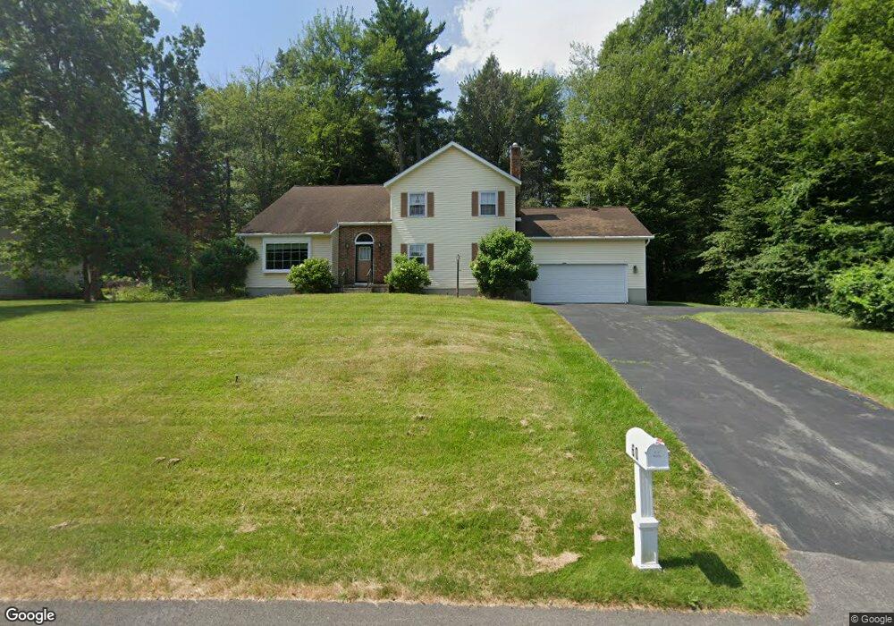
60 Chestnut Ln Schenectady, NY 12309
Estimated Value: $520,112 - $581,000
4
Beds
3
Baths
2,421
Sq Ft
$228/Sq Ft
Est. Value
About This Home
This home is located at 60 Chestnut Ln, Schenectady, NY 12309 and is currently estimated at $551,278, approximately $227 per square foot. 60 Chestnut Ln is a home located in Schenectady County with nearby schools including Craig Elementary School, Rosendale School, and Van Antwerp Middle School.
Ownership History
Date
Name
Owned For
Owner Type
Purchase Details
Closed on
Apr 13, 2023
Sold by
Tetambe Deepa
Bought by
Smart Freedom Real Estate Llc
Current Estimated Value
Purchase Details
Closed on
Feb 28, 2020
Sold by
Simon S Rock Inc
Bought by
Tetambe Ravindra P
Purchase Details
Closed on
Jan 20, 1998
Sold by
Drobnik Joseph
Bought by
Tetambe Ravindra P and Tetambe Deepa R
Purchase Details
Closed on
Oct 28, 1996
Sold by
Sapp Joseph J and Sapp Abigail T
Bought by
Drobnik Joseph
Create a Home Valuation Report for This Property
The Home Valuation Report is an in-depth analysis detailing your home's value as well as a comparison with similar homes in the area
Home Values in the Area
Average Home Value in this Area
Purchase History
| Date | Buyer | Sale Price | Title Company |
|---|---|---|---|
| Smart Freedom Real Estate Llc | $80,000 | None Listed On Document | |
| Smart Freedom Real Estate Llc | $80,000 | None Listed On Document | |
| Tetambe Ravindra P | $94,500 | Legacy Title Services Llc | |
| Tetambe Ravindra P | $164,000 | -- | |
| Drobnik Joseph | $165,000 | -- |
Source: Public Records
Tax History
| Year | Tax Paid | Tax Assessment Tax Assessment Total Assessment is a certain percentage of the fair market value that is determined by local assessors to be the total taxable value of land and additions on the property. | Land | Improvement |
|---|---|---|---|---|
| 2024 | $15,328 | $340,000 | $67,400 | $272,600 |
| 2023 | $155 | $340,000 | $67,400 | $272,600 |
| 2022 | $15,134 | $340,000 | $67,400 | $272,600 |
| 2021 | $12,232 | $340,000 | $67,400 | $272,600 |
| 2020 | $10,724 | $340,000 | $67,400 | $272,600 |
| 2019 | $6,060 | $340,000 | $67,400 | $272,600 |
| 2018 | $10,620 | $340,000 | $67,400 | $272,600 |
| 2017 | $10,417 | $340,000 | $67,400 | $272,600 |
| 2016 | $10,492 | $340,000 | $67,400 | $272,600 |
| 2015 | -- | $340,000 | $67,400 | $272,600 |
| 2014 | -- | $340,000 | $67,400 | $272,600 |
Source: Public Records
Map
Nearby Homes
- 5 Cephalonia Dr
- 2509 Whamer Ln
- 1336 Wemple Ln
- 1225 Hempstead Rd
- 2410 Parkville Place
- 241 Mohawk Trail
- 2370 Nott St E Unit 2370
- 2066 Orchard Park Dr
- 2275 Berkley Ave
- 1158 Hedgewood Ln
- 612 Riverview Rd
- 1111 Rosehill Blvd
- 1190 Highland Park Rd
- 2135 Morrow Ave
- 2240 Rosendale Rd
- 2573 Rosendale Rd
- 14 Carrie Ct
- 2318 Plum St
- 2171 Grand Blvd
- 1535 Myron St
- 56 Chestnut Ln
- 64 Chestnut Ln
- 65 Chestnut Ln
- 52 Chestnut Ln
- 91 Pheasant Ridge
- 57 Chestnut Ln
- 79 Pheasant Ridge
- 48 Chestnut Ln
- 95 Pheasant Ridge
- 1452 Fox Hollow Rd
- 53 Chestnut Ln
- 84 Pheasant Ridge
- 88 Pheasant Ridge
- 1456 Fox Hollow Rd
- 67 Pheasant Ridge
- 1448 Fox Hollow Rd
- 1464 Fox Hollow Rd
- 75 Pheasant Ridge
- 92 Pheasant Ridge
- 80 Pheasant Ridge
Your Personal Tour Guide
Ask me questions while you tour the home.