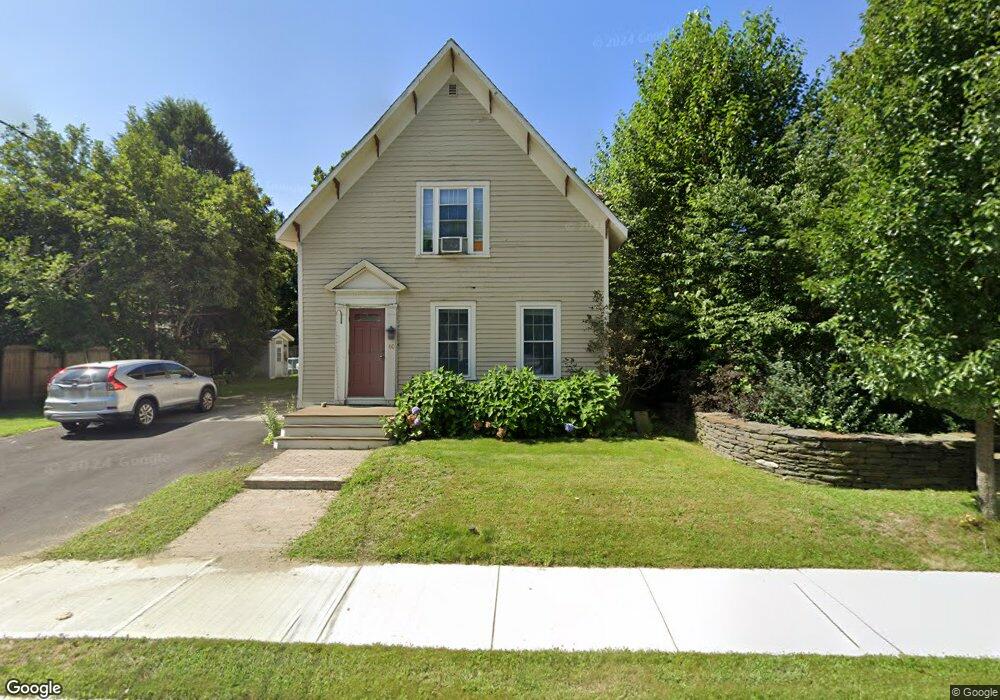
60 Conway St Shelburne Falls, MA 01370
Buckland NeighborhoodEstimated Value: $431,443 - $464,000
5
Beds
3
Baths
2
Sq Ft
$224,930/Sq Ft
Est. Value
About This Home
This home is located at 60 Conway St, Shelburne Falls, MA 01370 and is currently estimated at $449,861, approximately $224,930 per square foot. 60 Conway St is a home located in Franklin County with nearby schools including Mohawk Trail Regional High School.
Ownership History
Date
Name
Owned For
Owner Type
Purchase Details
Closed on
Oct 30, 1998
Sold by
Cote Cynthia A and Cote Donald D
Bought by
Freeman Craig T and Freeman Nicole F
Current Estimated Value
Purchase Details
Closed on
Apr 1, 1993
Sold by
Lawless William S and Lawless John C
Bought by
Cote Donald A and Cote Cynthia A
Create a Home Valuation Report for This Property
The Home Valuation Report is an in-depth analysis detailing your home's value as well as a comparison with similar homes in the area
Home Values in the Area
Average Home Value in this Area
Purchase History
| Date | Buyer | Sale Price | Title Company |
|---|---|---|---|
| Freeman Craig T | $115,000 | -- | |
| Cote Donald A | $93,500 | -- |
Source: Public Records
Mortgage History
| Date | Status | Borrower | Loan Amount |
|---|---|---|---|
| Open | Cote Donald A | $230,000 | |
| Closed | Cote Donald A | $211,385 | |
| Closed | Cote Donald A | $115,500 |
Source: Public Records
Tax History Compared to Growth
Tax History
| Year | Tax Paid | Tax Assessment Tax Assessment Total Assessment is a certain percentage of the fair market value that is determined by local assessors to be the total taxable value of land and additions on the property. | Land | Improvement |
|---|---|---|---|---|
| 2025 | $6,075 | $358,600 | $46,100 | $312,500 |
| 2024 | $5,930 | $337,700 | $46,100 | $291,600 |
| 2023 | $5,192 | $306,500 | $46,100 | $260,400 |
| 2022 | $5,143 | $306,500 | $46,100 | $260,400 |
| 2021 | $4,649 | $260,600 | $46,100 | $214,500 |
| 2020 | $0 | $241,800 | $46,100 | $195,700 |
| 2019 | $0 | $224,900 | $46,100 | $178,800 |
| 2018 | $4,077 | $216,300 | $46,100 | $170,200 |
| 2017 | $0 | $216,300 | $46,100 | $170,200 |
| 2016 | $3,634 | $215,000 | $46,100 | $168,900 |
| 2015 | $3,612 | $215,000 | $46,100 | $168,900 |
Source: Public Records
Map
Nearby Homes
- 10 Deerfield Ave Unit 5
- 10 Deerfield Ave Unit 2
- 105 - 107 Bridge St
- 33 Williams St
- 102 Elm St
- 2151 Route 2
- 2155 Massachusetts 2
- 7 Hog Hollow Rd
- 156 Ashfield Rd
- 0 Upper St
- 31 W Oxbow Rd
- 24 W Oxbow Rd
- 0 W Oxbow Rd Unit 73453651
- 0 Ashfield Rd
- 3+5 Church St
- 85 Dacey Rd
- lot 1 Shelburne Falls Rd
- 0 Fiske Mill Rd
- 143 Charlemont Rd
- 240 Beldingville Rd