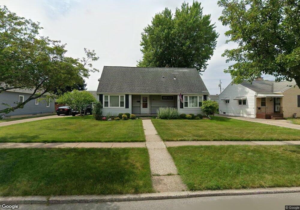
60 Ferndale Ave Buffalo, NY 14217
Paramount NeighborhoodEstimated Value: $266,691 - $289,000
4
Beds
1
Bath
1,553
Sq Ft
$179/Sq Ft
Est. Value
About This Home
This home is located at 60 Ferndale Ave, Buffalo, NY 14217 and is currently estimated at $277,423, approximately $178 per square foot. 60 Ferndale Ave is a home located in Erie County with nearby schools including Herbert Hoover Elementary School, Herbert Hoover Middle School, and Kenmore West Senior High School.
Ownership History
Date
Name
Owned For
Owner Type
Purchase Details
Closed on
Jan 9, 2015
Sold by
Dils Corey A
Bought by
Wiedrick Shauna C and Dils Shauna C
Current Estimated Value
Purchase Details
Closed on
Jun 8, 2011
Sold by
Padak Helen and Padak Gary
Bought by
Dils Shauna C and Dils Corey A
Home Financials for this Owner
Home Financials are based on the most recent Mortgage that was taken out on this home.
Original Mortgage
$115,709
Outstanding Balance
$79,279
Interest Rate
4.5%
Mortgage Type
FHA
Estimated Equity
$198,144
Create a Home Valuation Report for This Property
The Home Valuation Report is an in-depth analysis detailing your home's value as well as a comparison with similar homes in the area
Home Values in the Area
Average Home Value in this Area
Purchase History
| Date | Buyer | Sale Price | Title Company |
|---|---|---|---|
| Wiedrick Shauna C | -- | None Available | |
| Dils Shauna C | $118,720 | None Available |
Source: Public Records
Mortgage History
| Date | Status | Borrower | Loan Amount |
|---|---|---|---|
| Open | Dils Shauna C | $115,709 |
Source: Public Records
Tax History
| Year | Tax Paid | Tax Assessment Tax Assessment Total Assessment is a certain percentage of the fair market value that is determined by local assessors to be the total taxable value of land and additions on the property. | Land | Improvement |
|---|---|---|---|---|
| 2024 | $6,392 | $52,200 | $13,000 | $39,200 |
| 2023 | $6,239 | $52,200 | $13,000 | $39,200 |
| 2022 | $5,884 | $52,200 | $13,000 | $39,200 |
| 2021 | $5,863 | $52,200 | $13,000 | $39,200 |
| 2020 | $4,379 | $52,200 | $13,000 | $39,200 |
| 2019 | $4,231 | $52,200 | $13,000 | $39,200 |
| 2018 | $4,180 | $52,200 | $13,000 | $39,200 |
| 2017 | $1,914 | $52,200 | $13,000 | $39,200 |
| 2016 | $3,951 | $52,200 | $13,000 | $39,200 |
| 2015 | -- | $52,200 | $13,000 | $39,200 |
| 2014 | -- | $52,200 | $13,000 | $39,200 |
Source: Public Records
Map
Nearby Homes
- 16 Zimmerman Blvd
- 110 Traverse Blvd
- 119 Orchard Dr
- 46 Cleveland Dr
- 66 Cleveland Dr
- 177 Mcconkey Dr
- 132 June Rd
- 2939 Elmwood Ave
- 298 Lowell Rd
- 154 Liston St
- 311 Zimmerman Blvd
- 36 Crane Place Unit 32
- 211 Liston St
- 287 Westchester Blvd
- 87 Tulane Rd
- 1570 Colvin Blvd
- 379 Orchard Dr
- 74 Eiseman Ave
- 135 Thurston Ave
- 37 Lardner Ct Unit 31
- 54 Ferndale Ave
- 66 Ferndale Ave
- 65 Oakridge Ave
- 59 Oakridge Ave
- 50 Ferndale Ave
- 74 Ferndale Ave
- 69 Oakridge Ave
- 55 Oakridge Ave
- 75 Oakridge Ave
- 49 Oakridge Ave
- 57 Ferndale Ave
- 80 Ferndale Ave
- 63 Ferndale Ave
- 42 Ferndale Ave
- 51 Ferndale Ave
- 79 Oakridge Ave
- 69 Ferndale Ave
- 45 Oakridge Ave
- 41 Ferndale Ave
- 85 Oakridge Ave
Your Personal Tour Guide
Ask me questions while you tour the home.