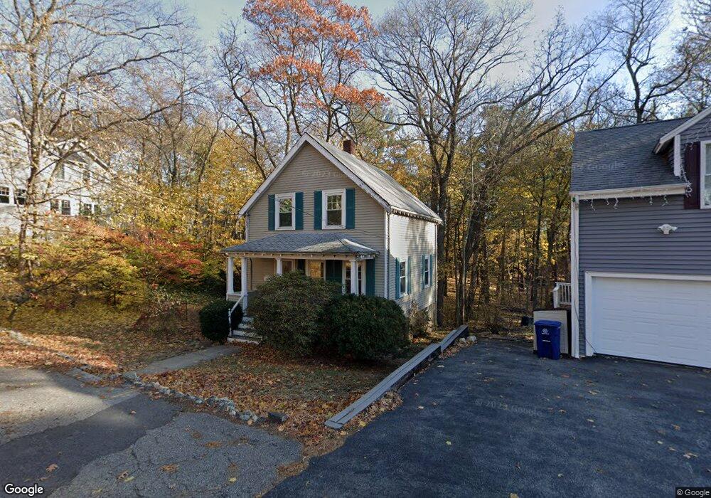
60 High Haith Rd Arlington, MA 02476
Arlington Center NeighborhoodEstimated Value: $786,000 - $909,000
2
Beds
1
Bath
924
Sq Ft
$942/Sq Ft
Est. Value
About This Home
This home is located at 60 High Haith Rd, Arlington, MA 02476 and is currently estimated at $870,377, approximately $941 per square foot. 60 High Haith Rd is a home located in Middlesex County with nearby schools including Brackett Elementary School, Ottoson Middle School, and Arlington High School.
Ownership History
Date
Name
Owned For
Owner Type
Purchase Details
Closed on
Dec 11, 2020
Sold by
Talanian Gaar and Talanian Lori
Bought by
Nielsen Chris P and Reichert Emily L
Current Estimated Value
Purchase Details
Closed on
Jun 25, 2020
Sold by
Orosan Jennifer L
Bought by
Talanian Gaar and Talanian Lori
Purchase Details
Closed on
Sep 29, 2009
Sold by
Anderson Todd M and Anderson Jeffrey R
Bought by
Orosan Jennifer L
Home Financials for this Owner
Home Financials are based on the most recent Mortgage that was taken out on this home.
Original Mortgage
$363,298
Interest Rate
5.31%
Mortgage Type
Purchase Money Mortgage
Create a Home Valuation Report for This Property
The Home Valuation Report is an in-depth analysis detailing your home's value as well as a comparison with similar homes in the area
Home Values in the Area
Average Home Value in this Area
Purchase History
We collect this data history from publicly available records. To have your information removed, we recommend requesting removal directly through your county’s website.
| Date | Buyer | Sale Price | Title Company |
|---|---|---|---|
| Nielsen Chris P | $650,000 | None Available | |
| Talanian Gaar | $585,000 | None Available | |
| Orosan Jennifer L | $370,000 | -- |
Source: Public Records
Mortgage History
We collect this data history from publicly available records. To have your information removed, we recommend requesting removal directly through your county’s website.
| Date | Status | Borrower | Loan Amount |
|---|---|---|---|
| Previous Owner | Orosan Jennifer L | $363,298 |
Source: Public Records
Tax History
| Year | Tax Paid | Tax Assessment Tax Assessment Total Assessment is a certain percentage of the fair market value that is determined by local assessors to be the total taxable value of land and additions on the property. | Land | Improvement |
|---|---|---|---|---|
| 2025 | $8,253 | $766,300 | $548,000 | $218,300 |
| 2024 | $7,740 | $730,900 | $526,100 | $204,800 |
| 2023 | $7,265 | $648,100 | $460,400 | $187,700 |
| 2022 | $6,958 | $609,300 | $438,400 | $170,900 |
| 2021 | $6,854 | $604,400 | $438,400 | $166,000 |
| 2020 | $6,686 | $604,500 | $438,400 | $166,100 |
| 2019 | $6,310 | $560,400 | $411,000 | $149,400 |
| 2018 | $5,913 | $487,500 | $339,800 | $147,700 |
| 2017 | $5,779 | $460,100 | $312,400 | $147,700 |
| 2016 | $5,539 | $432,700 | $285,000 | $147,700 |
| 2015 | $5,740 | $423,600 | $279,500 | $144,100 |
Source: Public Records
Map
Nearby Homes
- 177 Mount Vernon St
- 89 Churchill Ave
- 14 Arlmont St
- 765 Concord Turnpike
- 30 Gloucester St Unit 30
- 100 Wildwood Ave
- 10 Radcliffe Rd
- 384 Brighton St
- 36 Kenilworth Rd
- 11 Venner Rd
- 30 Eustis St
- 24 Bellington St
- 9 Venner Rd
- 50 Norfolk Rd
- 993 Massachusetts Ave Unit 212
- 993 Massachusetts Ave Unit 203
- 1025 Massachusetts Ave Unit 404
- 1025 Massachusetts Ave Unit 304
- 1025 Massachusetts Ave Unit 205
- 1025 Massachusetts Ave Unit 210
Your Personal Tour Guide
Ask me questions while you tour the home.