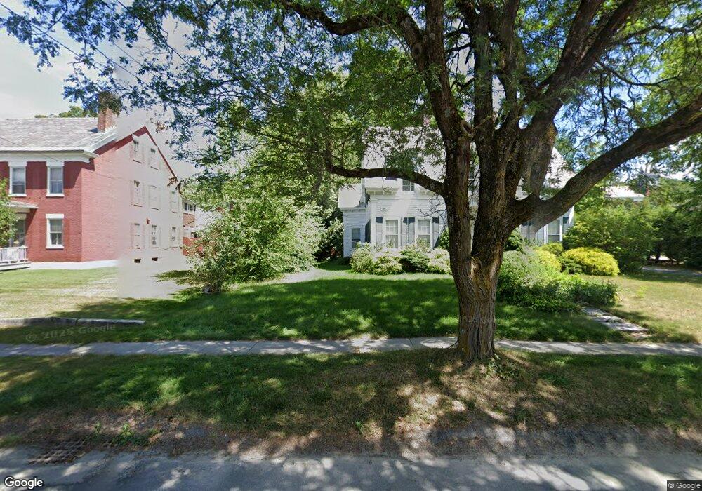
60 N Main St Wallingford, VT 05773
Estimated Value: $204,331
2
Beds
1
Bath
2,030
Sq Ft
$101/Sq Ft
Est. Value
About This Home
This home is located at 60 N Main St, Wallingford, VT 05773 and is currently estimated at $204,331, approximately $100 per square foot. 60 N Main St is a home located in Rutland County with nearby schools including Wallingford Elementary School and Mill River Union High School.
Ownership History
Date
Name
Owned For
Owner Type
Purchase Details
Closed on
Dec 13, 2024
Sold by
Stone Jason
Bought by
60 S Main Llc
Current Estimated Value
Purchase Details
Closed on
Jun 3, 2021
Sold by
Roaring Brook Properties Llc
Bought by
Stone Jason C
Purchase Details
Closed on
Jul 29, 2011
Sold by
Steven & Connie Berger Revocable Trust
Bought by
Roaring Brook Properties Llc
Purchase Details
Closed on
Jun 2, 2011
Sold by
Savery Richard and Savery Helen
Bought by
Steven H Berger H and Steven Connie K
Purchase Details
Closed on
Oct 23, 2007
Sold by
Savery Richard W
Bought by
Donohue Joseph P and Donohue Lisa Marie
Create a Home Valuation Report for This Property
The Home Valuation Report is an in-depth analysis detailing your home's value as well as a comparison with similar homes in the area
Home Values in the Area
Average Home Value in this Area
Purchase History
| Date | Buyer | Sale Price | Title Company |
|---|---|---|---|
| 60 S Main Llc | -- | -- | |
| Stone Jason C | $145,000 | -- | |
| Stone Jason C | $145,000 | -- | |
| Roaring Brook Properties Llc | -- | -- | |
| Steven H Berger H | $70,000 | -- | |
| Donohue Joseph P | $137,400 | -- |
Source: Public Records
Tax History
| Year | Tax Paid | Tax Assessment Tax Assessment Total Assessment is a certain percentage of the fair market value that is determined by local assessors to be the total taxable value of land and additions on the property. | Land | Improvement |
|---|---|---|---|---|
| 2024 | $3,170 | $159,700 | $17,900 | $141,800 |
| 2023 | $3,170 | $159,700 | $17,900 | $141,800 |
| 2022 | $3,117 | $159,700 | $17,900 | $141,800 |
| 2021 | $3,227 | $159,700 | $17,900 | $141,800 |
| 2020 | $3,180 | $159,700 | $17,900 | $141,800 |
| 2019 | $2,905 | $159,700 | $17,900 | $141,800 |
| 2018 | $2,905 | $159,700 | $17,900 | $141,800 |
| 2017 | $2,837 | $174,500 | $16,200 | $158,300 |
| 2016 | $0 | $174,500 | $16,200 | $158,300 |
| 2015 | -- | $1,745 | $0 | $0 |
| 2014 | -- | $1,745 | $0 | $0 |
| 2013 | -- | $1,745 | $0 | $0 |
Source: Public Records
Map
Nearby Homes
- 52 Hull Ave
- 109 School St
- 69 Church St
- 60 Irish Ln
- 191 Highland Rd
- 37 Cootey Ln
- 00 East St
- 580 Sugar Hill Rd
- 2086 Walker Mountain Rd
- 49 Sherri Ln
- 90 Vermont 140
- 572 Route 140
- 1480 Route 103
- 85 Elm Hill Dr
- 00 East Rd
- Route Vermont 103
- 996 Lincoln Hill Rd
- 310 Hateful Hill Rd
- 4030 Walker Mountain Rd
- 882 Mitchell Rd
Your Personal Tour Guide
Ask me questions while you tour the home.