60 P and P Dr Spruce Pine, NC 28777
Estimated Value: $250,000 - $317,000
3
Beds
2
Baths
1,448
Sq Ft
$203/Sq Ft
Est. Value
About This Home
This home is located at 60 P and P Dr, Spruce Pine, NC 28777 and is currently estimated at $294,220, approximately $203 per square foot. 60 P and P Dr is a home located in Mitchell County with nearby schools including Greenlee Primary School, Mitchell High School, and Spruce Pine Montessori School.
Ownership History
Date
Name
Owned For
Owner Type
Purchase Details
Closed on
Dec 5, 2022
Sold by
Mcgee Lesa Wilson
Bought by
Rivers Patricia M
Current Estimated Value
Home Financials for this Owner
Home Financials are based on the most recent Mortgage that was taken out on this home.
Original Mortgage
$227,000
Outstanding Balance
$218,499
Interest Rate
5.9%
Mortgage Type
New Conventional
Estimated Equity
$75,721
Create a Home Valuation Report for This Property
The Home Valuation Report is an in-depth analysis detailing your home's value as well as a comparison with similar homes in the area
Purchase History
| Date | Buyer | Sale Price | Title Company |
|---|---|---|---|
| Rivers Patricia M | $225,000 | -- |
Source: Public Records
Mortgage History
| Date | Status | Borrower | Loan Amount |
|---|---|---|---|
| Open | Rivers Patricia M | $227,000 |
Source: Public Records
Tax History
| Year | Tax Paid | Tax Assessment Tax Assessment Total Assessment is a certain percentage of the fair market value that is determined by local assessors to be the total taxable value of land and additions on the property. | Land | Improvement |
|---|---|---|---|---|
| 2025 | $1,040 | $162,500 | $14,600 | $147,900 |
| 2024 | $1,024 | $162,500 | $14,600 | $147,900 |
| 2023 | $1,024 | $162,500 | $14,600 | $147,900 |
| 2022 | $512 | $162,500 | $14,600 | $147,900 |
| 2021 | $417 | $128,300 | $15,600 | $112,700 |
| 2020 | $417 | $128,300 | $15,600 | $112,700 |
| 2019 | $417 | $128,300 | $15,600 | $112,700 |
| 2018 | $417 | $128,300 | $15,600 | $112,700 |
| 2017 | $426 | $131,000 | $15,600 | $115,400 |
| 2016 | $393 | $131,000 | $0 | $0 |
| 2015 | $4 | $131,000 | $0 | $0 |
| 2014 | $393 | $131,000 | $0 | $0 |
Source: Public Records
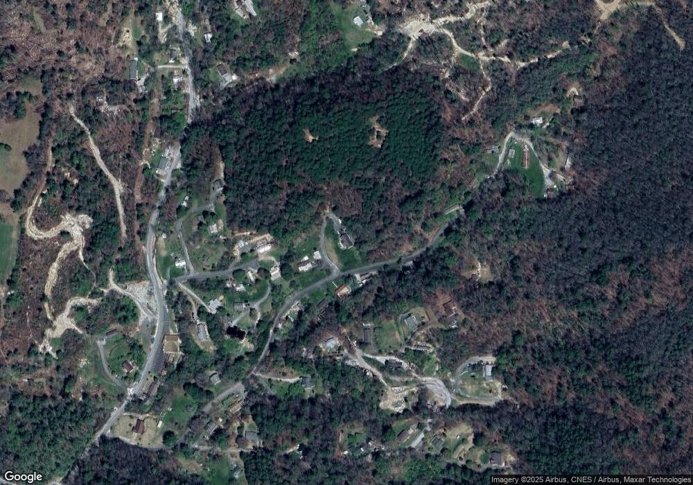
Map
Nearby Homes
- 365 Ollis Rd
- 96 Thompson Rd
- 00 Monte Vista Cir
- 79 Creekside Ln
- 48 Phillips Ln
- 000 Highland River Pkwy Unit 3
- 04 Highland River Pkwy Unit 4
- 221 Creed Pitman Rd
- 000 Poplar Dr
- 000 Highland Ave
- 00 Deer Park Lake Rd
- 44 Hemlock Ave
- 80 English St
- 400 Summit Ave
- 583 Deer Park Lake Rd
- 658 Upper Hanging Rock Rd
- 672 Upper Hanging Rock Rd
- 377 Cabin Rd
- 655 Overlook Dr Unit C
- 623 Overlook Dr
- 19 P and P Dr
- 272 Stafford Rd
- TBD Stafford Rd
- 88 Jack Sullins Rd
- 250 Stafford Rd
- 336 Stafford Rd
- 83 Jack Sullins Rd
- 230 Stafford Rd
- 355 Ollis Rd
- 405 Stafford Rd
- 423 Ollis Rd
- 86 Jack Sullins Rd
- 362 Ollis Rd
- 35 Jack Sullins Rd
- 18 Jack Sullins Rd
- 429 Stafford Rd
- 406 Stafford Rd
- 398 Ollis Rd
- 130 Jack Sullins Rd
- 25 Jack Sullins Rd
Your Personal Tour Guide
Ask me questions while you tour the home.