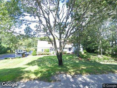
60 Quail Ln Hyannis, MA 2601
Hyannis NeighborhoodEstimated Value: $1,032,000 - $2,030,000
3
Beds
2
Baths
2,109
Sq Ft
$766/Sq Ft
Est. Value
About This Home
This home is located at 60 Quail Ln, Hyannis, MA 2601 and is currently estimated at $1,615,061, approximately $765 per square foot. 60 Quail Ln is a home located in Barnstable County with nearby schools including Hyannis West Elementary School, Barnstable United Elementary School, and Barnstable Intermediate School.
Ownership History
Date
Name
Owned For
Owner Type
Purchase Details
Closed on
Nov 25, 2013
Sold by
Orourke John J and Vivona Kathleen
Bought by
Castle David A and Castle Sonja L
Current Estimated Value
Create a Home Valuation Report for This Property
The Home Valuation Report is an in-depth analysis detailing your home's value as well as a comparison with similar homes in the area
Home Values in the Area
Average Home Value in this Area
Purchase History
| Date | Buyer | Sale Price | Title Company |
|---|---|---|---|
| Castle David A | $725,000 | -- |
Source: Public Records
Mortgage History
| Date | Status | Borrower | Loan Amount |
|---|---|---|---|
| Open | Castle David A | $500,000 | |
| Closed | Castle David A | $201,600 | |
| Closed | Castle David A | $0 | |
| Closed | Castle David A | -- |
Source: Public Records
Tax History Compared to Growth
Tax History
| Year | Tax Paid | Tax Assessment Tax Assessment Total Assessment is a certain percentage of the fair market value that is determined by local assessors to be the total taxable value of land and additions on the property. | Land | Improvement |
|---|---|---|---|---|
| 2025 | $15,074 | $1,626,100 | $1,088,300 | $537,800 |
| 2024 | $14,458 | $1,597,600 | $1,088,300 | $509,300 |
| 2023 | $13,646 | $1,425,900 | $973,600 | $452,300 |
| 2022 | $10,326 | $892,500 | $511,800 | $380,700 |
| 2021 | $10,016 | $841,000 | $511,800 | $329,200 |
| 2020 | $10,234 | $830,000 | $511,800 | $318,200 |
| 2019 | $9,750 | $775,000 | $488,600 | $286,400 |
| 2018 | $9,667 | $785,900 | $538,800 | $247,100 |
| 2017 | $9,112 | $760,000 | $538,800 | $221,200 |
| 2016 | $8,727 | $744,000 | $525,800 | $218,200 |
| 2015 | $8,667 | $749,100 | $533,600 | $215,500 |
Source: Public Records
Map
Nearby Homes
- 18 Mount Vernon Ave
- 106 Longwood Ave
- 35 Grayton Ave
- 27 & 54 Circle Dr
- 48 Smith St
- 113 Briarwood Ave
- 172 Irving Ave
- 34 Crocker Dr
- 27 Marchant Ave
- 86 Seabrook Rd
- 31 Arbor Way
- 230 Gosnold St Unit 11A-11B-11C
- 230 Gosnold St Unit 11ABC
- 187 Sea St
- 20 Sunset Terrace
- 133 Breakwater Shores Dr
- 48 Kennedy Cir
- 169 Gosnold St
- 39 Alden Way
- 307 W Main St Unit 7