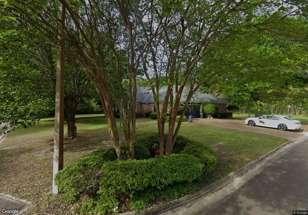
60 Redbud Ln Madison, MS 39110
Estimated Value: $305,771 - $355,000
4
Beds
5
Baths
2,576
Sq Ft
$132/Sq Ft
Est. Value
About This Home
This home is located at 60 Redbud Ln, Madison, MS 39110 and is currently estimated at $338,943, approximately $131 per square foot. 60 Redbud Ln is a home located in Madison County with nearby schools including Madison Avenue Upper Elementary School, Madison Avenue Elementary, and Madison Middle School.
Ownership History
Date
Name
Owned For
Owner Type
Purchase Details
Closed on
Sep 1, 2023
Sold by
Hollis Shoemaker Inc
Bought by
Beagle Michael and Beagle Sharon
Current Estimated Value
Purchase Details
Closed on
Aug 27, 2019
Sold by
Thomas Richard L and Hopkins-Thomas Lisa
Bought by
Phann Nhoung F and Meas-Phann Dawnie
Home Financials for this Owner
Home Financials are based on the most recent Mortgage that was taken out on this home.
Original Mortgage
$201,400
Interest Rate
3.7%
Mortgage Type
New Conventional
Create a Home Valuation Report for This Property
The Home Valuation Report is an in-depth analysis detailing your home's value as well as a comparison with similar homes in the area
Home Values in the Area
Average Home Value in this Area
Purchase History
| Date | Buyer | Sale Price | Title Company |
|---|---|---|---|
| Beagle Michael | -- | None Listed On Document | |
| Beagle Michael | -- | None Listed On Document | |
| Phann Nhoung F | -- | -- |
Source: Public Records
Mortgage History
| Date | Status | Borrower | Loan Amount |
|---|---|---|---|
| Previous Owner | Phann Nhoung F | $201,400 |
Source: Public Records
Tax History
| Year | Tax Paid | Tax Assessment Tax Assessment Total Assessment is a certain percentage of the fair market value that is determined by local assessors to be the total taxable value of land and additions on the property. | Land | Improvement |
|---|---|---|---|---|
| 2025 | $2,010 | $19,821 | $0 | $0 |
| 2024 | $2,009 | $19,811 | $0 | $0 |
| 2023 | $2,009 | $19,811 | $0 | $0 |
| 2022 | $2,009 | $19,811 | $0 | $0 |
| 2021 | $1,929 | $19,129 | $0 | $0 |
| 2020 | $1,929 | $19,129 | $0 | $0 |
| 2019 | $1,355 | $19,129 | $0 | $0 |
| 2018 | $1,929 | $19,129 | $0 | $0 |
| 2017 | $1,897 | $18,856 | $0 | $0 |
| 2016 | $1,781 | $17,856 | $0 | $0 |
| 2015 | $1,781 | $17,856 | $0 | $0 |
| 2014 | $1,781 | $17,856 | $0 | $0 |
Source: Public Records
Map
Nearby Homes
- 0 Chestnut Hill Unit 4126407
- 22 Chestnut Dr
- 0 Woodbridge Dr Unit 4124242
- 101 Honey Locust Ct
- 237 Calumet Dr
- 124 Trace Cove Dr
- 204 Breezy Hill Dr
- 171 Cavanaugh Dr
- 812 Norwich Dr
- 6956 Old Canton Rd
- 180 Wright's Mill Dr
- 0 St Augustine Dr Unit 4129175
- 401 Kingsbridge Rd
- 00 Saint Augustine Dr
- 0 Saint Augustine Dr
- 100 Woodbury Park Place
- 108 Frenchmans Cay
- 489 Cheyenne Ln
- 111 Hawks Nest Bluff
- 214 Indian Pines Ln
Your Personal Tour Guide
Ask me questions while you tour the home.