Estimated Value: $448,874 - $504,000
3
Beds
2
Baths
1,670
Sq Ft
$281/Sq Ft
Est. Value
About This Home
This home is located at 60 Roosevelt Rd, Weare, NH 03281 and is currently estimated at $469,969, approximately $281 per square foot. 60 Roosevelt Rd is a home located in Hillsborough County with nearby schools including Center Woods Elementary School, Weare Middle School, and John Stark Regional High School.
Ownership History
Date
Name
Owned For
Owner Type
Purchase Details
Closed on
Sep 29, 2011
Sold by
Turcotte Armand A and Turcotte Mary
Bought by
Litalien Adam and Litalien Katlyn A
Current Estimated Value
Home Financials for this Owner
Home Financials are based on the most recent Mortgage that was taken out on this home.
Original Mortgage
$185,492
Outstanding Balance
$126,817
Interest Rate
4.15%
Mortgage Type
Purchase Money Mortgage
Estimated Equity
$343,152
Create a Home Valuation Report for This Property
The Home Valuation Report is an in-depth analysis detailing your home's value as well as a comparison with similar homes in the area
Home Values in the Area
Average Home Value in this Area
Purchase History
| Date | Buyer | Sale Price | Title Company |
|---|---|---|---|
| Litalien Adam | $179,000 | -- |
Source: Public Records
Mortgage History
| Date | Status | Borrower | Loan Amount |
|---|---|---|---|
| Open | Litalien Adam | $185,492 |
Source: Public Records
Tax History Compared to Growth
Tax History
| Year | Tax Paid | Tax Assessment Tax Assessment Total Assessment is a certain percentage of the fair market value that is determined by local assessors to be the total taxable value of land and additions on the property. | Land | Improvement |
|---|---|---|---|---|
| 2024 | $6,119 | $300,100 | $125,100 | $175,000 |
| 2023 | $5,654 | $300,100 | $125,100 | $175,000 |
| 2022 | $5,222 | $300,100 | $125,100 | $175,000 |
| 2021 | $5,162 | $300,100 | $125,100 | $175,000 |
| 2020 | $4,886 | $204,000 | $88,400 | $115,600 |
| 2019 | $4,837 | $204,000 | $88,400 | $115,600 |
| 2018 | $4,698 | $204,000 | $88,400 | $115,600 |
| 2016 | $4,563 | $204,000 | $88,400 | $115,600 |
| 2015 | $4,482 | $200,000 | $88,400 | $111,600 |
| 2014 | $4,442 | $200,000 | $88,400 | $111,600 |
| 2013 | $4,350 | $200,000 | $88,400 | $111,600 |
Source: Public Records
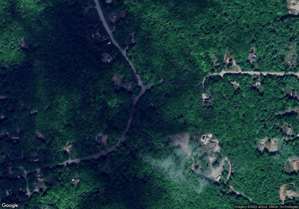
Map
Nearby Homes
- 849 River Rd
- 0 Huntington Hill Rd Unit 69
- 10 Sap House Rd
- 3 Stephanie Rd
- 624 S Stark Hwy
- 57 Lyndsey Ln
- 0 Als Dr Unit 196
- 103 Renshaw Rd
- 174 S Stark Hwy Unit 13
- 174 S Stark Hwy Unit 1
- 174 S Stark Hwy Unit 23
- 1003 School St
- 77 Gould Rd
- 15 Robert Rogers Rd
- 49 Stark Hwy N
- 93 Daniels Rd
- 233 N Stark Hwy
- 92 Woodbury Rd
- 0 Fairway Dr Unit 11
- 22 Fairway Dr
- 63 Roosevelt Rd
- 43 Roosevelt Rd
- 40 Roosevelt Rd
- 33 Roosevelt Rd
- 37 Birchwood Dr
- 85 Roosevelt Rd
- 74 Roosevelt Rd
- 36 Roosevelt Rd
- 32 Birchwood Dr
- 30 Roosevelt Rd
- 25 Birchwood Dr
- 87 Roosevelt Rd
- 19 Roosevelt Rd
- 86 Roosevelt Rd
- 20 Roosevelt Rd
- 19 Birchwood Dr
- 106 Roosevelt Rd
- 103 Roosevelt Rd
- 134 Bart Clough Rd
- 875 River Rd