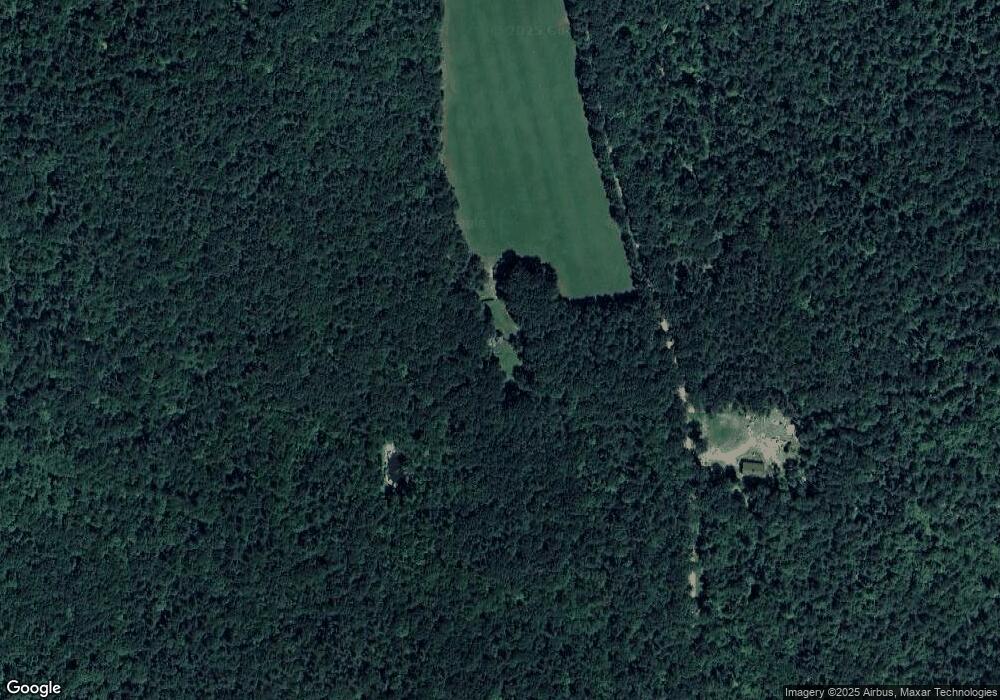
60 Royer Rd Heath, MA 01346
Heath NeighborhoodEstimated Value: $252,000 - $421,000
3
Beds
1
Bath
484
Sq Ft
$710/Sq Ft
Est. Value
About This Home
This home is located at 60 Royer Rd, Heath, MA 01346 and is currently estimated at $343,714, approximately $710 per square foot. 60 Royer Rd is a home with nearby schools including Mohawk Trail Regional High School.
Create a Home Valuation Report for This Property
The Home Valuation Report is an in-depth analysis detailing your home's value as well as a comparison with similar homes in the area
Home Values in the Area
Average Home Value in this Area
Tax History Compared to Growth
Tax History
| Year | Tax Paid | Tax Assessment Tax Assessment Total Assessment is a certain percentage of the fair market value that is determined by local assessors to be the total taxable value of land and additions on the property. | Land | Improvement |
|---|---|---|---|---|
| 2025 | $4,768 | $253,500 | $169,100 | $84,400 |
| 2024 | $5,063 | $247,800 | $165,100 | $82,700 |
| 2023 | $4,187 | $183,000 | $111,300 | $71,700 |
| 2022 | $3,848 | $178,900 | $111,300 | $67,600 |
| 2021 | $3,502 | $155,500 | $94,000 | $61,500 |
| 2020 | $3,062 | $137,600 | $75,800 | $61,800 |
| 2019 | $2,616 | $121,100 | $58,500 | $62,600 |
| 2018 | $2,641 | $121,100 | $58,500 | $62,600 |
| 2017 | $2,502 | $119,200 | $56,200 | $63,000 |
| 2016 | $2,455 | $119,700 | $56,200 | $63,500 |
| 2015 | $2,397 | $120,100 | $56,200 | $63,900 |
Source: Public Records
Map
Nearby Homes
- 32 Navaho Ln
- 0 W Oxbow Rd Unit 73453651
- 0 W Oxbow Rd Unit 248444
- Lot 121 Davis Mine Rd
- 174 Main St
- 168 Main St
- 1451 Route 2 E
- 0 Potters Rd Unit 248445
- 0 Potters Rd Unit 73439831
- 0 Warfield Rd
- 24 W Oxbow Rd
- 0 E Hawley Rd Unit 73456358
- 31 W Oxbow Rd
- 2153 Massachusetts 2
- 766 Tea St
- 0 Schaefer Way
- 594 Massachusetts 8a
- 559 Tea St
- 49 East Rd
- 63 W Hawley Rd
- 59 Royer Rd
- 58 & 60 Papoose Dr
- 21 Modoc St
- 0 Royer Rd Unit 70582344
- 0 Royer Rd Unit 73043408
- 30 Royer Rd
- 10 Royer Rd
- Lot 1 Number 9 Rd
- Lot 2 Number 9 Rd
- Off Colrain Stage Rd
- 23 Colrain Stage Rd
- 59 Waterfall Dr
- 45 Dell Rd
- 128 South Rd
- 301 Dell Rd
- 0 Dell Rd
- 2 Burrington Rd
- 8 Burrington Rd
- 136 South Rd
- 34 Royer Rd
