Estimated Value: $290,000 - $415,000
3
Beds
2
Baths
1,822
Sq Ft
$205/Sq Ft
Est. Value
About This Home
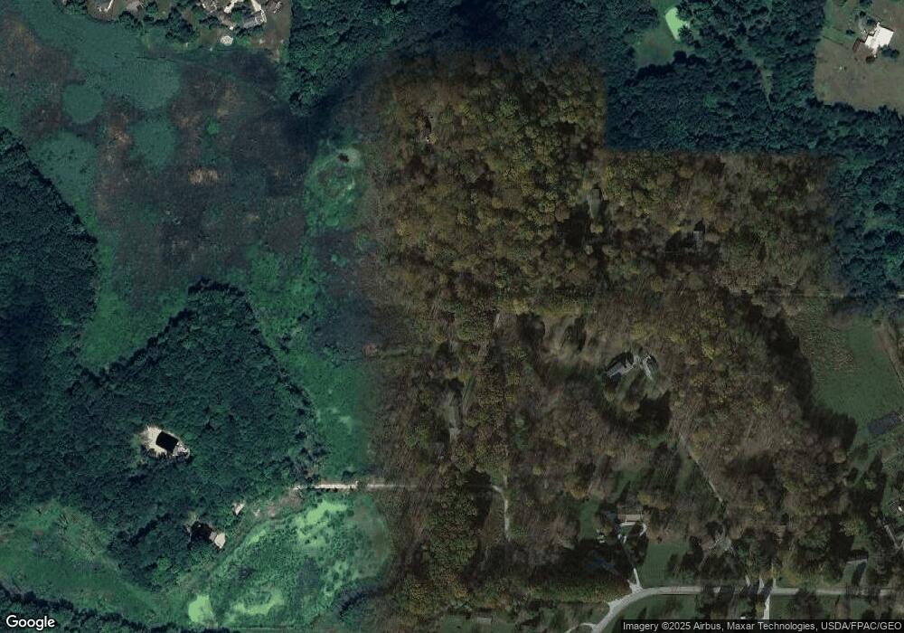
This home is located at 60 Shawnee Dr, Kent, OH 44240 and is currently estimated at $372,605, approximately $204 per square foot. 60 Shawnee Dr is a home located in Portage County.
Ownership History
Date
Name
Owned For
Owner Type
Purchase Details
Closed on
Jan 23, 2020
Sold by
Gauntner Alan T
Bought by
Gauntner Heidi L and Hallstein Heidi L
Current Estimated Value
Purchase Details
Closed on
Aug 26, 2005
Sold by
Dishong Terrance W and Dishong Sondra S
Bought by
Gauntner Alan T and Gauntner Heidi L
Home Financials for this Owner
Home Financials are based on the most recent Mortgage that was taken out on this home.
Original Mortgage
$246,960
Interest Rate
5.82%
Mortgage Type
Fannie Mae Freddie Mac
Purchase Details
Closed on
Mar 8, 1991
Bought by
Dishong Terrance W
Create a Home Valuation Report for This Property
The Home Valuation Report is an in-depth analysis detailing your home's value as well as a comparison with similar homes in the area
Home Values in the Area
Average Home Value in this Area
Purchase History
| Date | Buyer | Sale Price | Title Company |
|---|---|---|---|
| Gauntner Heidi L | -- | None Available | |
| Gauntner Alan T | $274,000 | Real Living Title Agency Ltd | |
| Dishong Terrance W | $131,000 | -- |
Source: Public Records
Mortgage History
| Date | Status | Borrower | Loan Amount |
|---|---|---|---|
| Previous Owner | Gauntner Alan T | $246,960 |
Source: Public Records
Tax History Compared to Growth
Tax History
| Year | Tax Paid | Tax Assessment Tax Assessment Total Assessment is a certain percentage of the fair market value that is determined by local assessors to be the total taxable value of land and additions on the property. | Land | Improvement |
|---|---|---|---|---|
| 2024 | $5,934 | $127,620 | $25,520 | $102,100 |
| 2023 | $5,570 | $96,400 | $25,520 | $70,880 |
| 2022 | $5,561 | $96,400 | $25,520 | $70,880 |
| 2021 | $5,555 | $96,400 | $25,520 | $70,880 |
| 2020 | $5,657 | $87,680 | $25,520 | $62,160 |
| 2019 | $5,613 | $87,680 | $25,520 | $62,160 |
| 2018 | $5,243 | $78,550 | $25,520 | $53,030 |
| 2017 | $5,243 | $78,550 | $25,520 | $53,030 |
| 2016 | $5,208 | $78,550 | $25,520 | $53,030 |
| 2015 | $5,209 | $78,550 | $25,520 | $53,030 |
| 2014 | $5,165 | $76,520 | $25,520 | $51,000 |
| 2013 | $5,127 | $76,520 | $25,520 | $51,000 |
Source: Public Records
Map
Nearby Homes
- 5241 Brockton Dr
- 5239 Camden Dr
- 5431 Diana Lynn Dr
- 5473 Young Rd
- 3165 Peterboro Dr
- 4901 Pebblehurst Dr
- 5465 Park Vista Ct
- 4451 Newcomer Rd
- 4917 Independence Cir Unit B
- 4944 Friar Rd Unit D
- 4901 Independence Cir Unit B
- 4621 Graford Ln
- 2908 Wexford Blvd
- 4233 Smokerise Dr
- 2444 Port Charles Dr
- 2380 Port Williams Dr Unit 2380
- 2418 Wrens Dr S Unit G
- 2327 Crockett Cir
- 4731 Haughton Ct
- 4903 Fishcreek Rd Unit 11B
