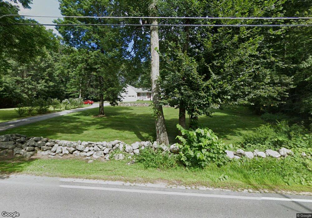
60 Simpson Rd Pelham, NH 03076
Estimated Value: $625,892 - $802,000
4
Beds
2
Baths
2,349
Sq Ft
$311/Sq Ft
Est. Value
About This Home
This home is located at 60 Simpson Rd, Pelham, NH 03076 and is currently estimated at $730,473, approximately $310 per square foot. 60 Simpson Rd is a home with nearby schools including Pelham Elementary School, Pelham Memorial School, and Pelham High School.
Ownership History
Date
Name
Owned For
Owner Type
Purchase Details
Closed on
Oct 28, 1999
Sold by
Delaney Daniel and Delaney Jeanne
Bought by
Garozzo Orazio and Garozzo Lauren A
Current Estimated Value
Home Financials for this Owner
Home Financials are based on the most recent Mortgage that was taken out on this home.
Original Mortgage
$137,000
Interest Rate
7.78%
Create a Home Valuation Report for This Property
The Home Valuation Report is an in-depth analysis detailing your home's value as well as a comparison with similar homes in the area
Home Values in the Area
Average Home Value in this Area
Purchase History
| Date | Buyer | Sale Price | Title Company |
|---|---|---|---|
| Garozzo Orazio | $207,000 | -- |
Source: Public Records
Mortgage History
| Date | Status | Borrower | Loan Amount |
|---|---|---|---|
| Open | Garozzo Orazio | $132,000 | |
| Closed | Garozzo Orazio | $137,000 |
Source: Public Records
Tax History
| Year | Tax Paid | Tax Assessment Tax Assessment Total Assessment is a certain percentage of the fair market value that is determined by local assessors to be the total taxable value of land and additions on the property. | Land | Improvement |
|---|---|---|---|---|
| 2024 | $8,629 | $470,500 | $166,700 | $303,800 |
| 2023 | $8,558 | $470,500 | $166,700 | $303,800 |
| 2022 | $8,196 | $470,500 | $166,700 | $303,800 |
| 2021 | $7,509 | $470,500 | $166,700 | $303,800 |
| 2020 | $7,393 | $366,000 | $133,300 | $232,700 |
| 2019 | $6,992 | $360,400 | $133,300 | $227,100 |
| 2018 | $7,105 | $331,100 | $133,300 | $197,800 |
| 2017 | $7,102 | $331,100 | $133,300 | $197,800 |
| 2016 | $6,937 | $331,100 | $133,300 | $197,800 |
| 2015 | $6,901 | $296,700 | $126,500 | $170,200 |
| 2014 | $6,786 | $296,700 | $126,500 | $170,200 |
| 2013 | $6,786 | $296,700 | $126,500 | $170,200 |
Source: Public Records
Map
Nearby Homes
- 1102 Mammoth Rd Unit A&B
- 1109 Mammoth Rd Unit A
- 11 Venus Way
- 4 Haystack Cir
- 45 Hobbs Rd
- 20 Debbie Dr
- 23 Ryan Farm Rd
- 2 Cypress Ln
- 7 Cypress Ln Unit 5
- 4 Cypress Ln Unit 10
- 10 Oakland Ridge Rd Unit 11
- 48 Marblehead Rd
- Lot 4 Canterbury Rd Unit 4
- 11 Wellesley Dr
- 2 Baker Rd
- 47 Cobbetts Pond Rd
- 13B Hedgerow Dr
- 7 Little Island Park
- 63 Mammoth Rd
- 51 Brookview Rd
Your Personal Tour Guide
Ask me questions while you tour the home.