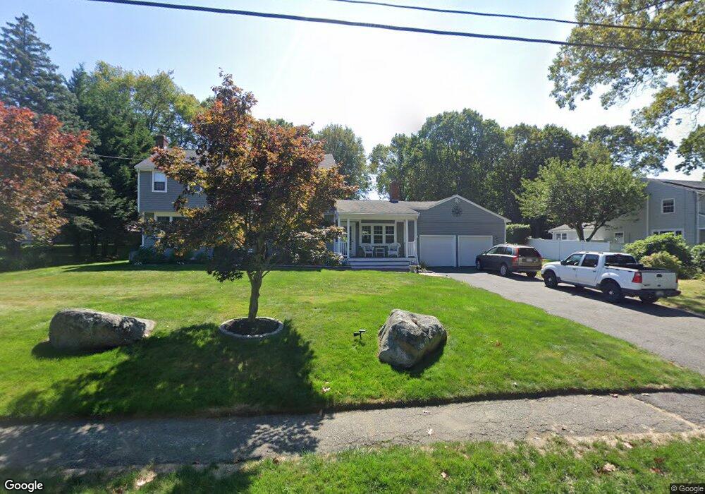
60 Townsend Rd Scituate, MA 02066
Estimated Value: $1,118,410 - $1,616,000
4
Beds
3
Baths
2,800
Sq Ft
$485/Sq Ft
Est. Value
About This Home
This home is located at 60 Townsend Rd, Scituate, MA 02066 and is currently estimated at $1,357,353, approximately $484 per square foot. 60 Townsend Rd is a home located in Plymouth County with nearby schools including Hatherly Elementary School, Lester J. Gates Middle School, and Scituate High School.
Ownership History
Date
Name
Owned For
Owner Type
Purchase Details
Closed on
Jan 25, 2002
Sold by
Ogrady James S and Ogrady Cheryl L
Bought by
Gates John H and Gates Lisa D
Current Estimated Value
Home Financials for this Owner
Home Financials are based on the most recent Mortgage that was taken out on this home.
Original Mortgage
$420,000
Outstanding Balance
$166,684
Interest Rate
7.08%
Mortgage Type
Purchase Money Mortgage
Estimated Equity
$1,190,669
Create a Home Valuation Report for This Property
The Home Valuation Report is an in-depth analysis detailing your home's value as well as a comparison with similar homes in the area
Home Values in the Area
Average Home Value in this Area
Purchase History
| Date | Buyer | Sale Price | Title Company |
|---|---|---|---|
| Gates John H | $525,000 | -- |
Source: Public Records
Mortgage History
| Date | Status | Borrower | Loan Amount |
|---|---|---|---|
| Open | Gates John H | $420,000 | |
| Closed | Gates John H | $50,000 |
Source: Public Records
Tax History
| Year | Tax Paid | Tax Assessment Tax Assessment Total Assessment is a certain percentage of the fair market value that is determined by local assessors to be the total taxable value of land and additions on the property. | Land | Improvement |
|---|---|---|---|---|
| 2025 | $8,879 | $888,800 | $415,500 | $473,300 |
| 2024 | $8,722 | $841,900 | $377,700 | $464,200 |
| 2023 | $8,457 | $773,000 | $343,400 | $429,600 |
| 2022 | $8,457 | $670,100 | $309,600 | $360,500 |
| 2021 | $8,415 | $631,300 | $308,900 | $322,400 |
| 2020 | $8,159 | $604,400 | $297,000 | $307,400 |
| 2019 | $7,987 | $581,300 | $291,200 | $290,100 |
| 2018 | $7,691 | $551,300 | $287,000 | $264,300 |
| 2017 | $7,473 | $530,400 | $276,000 | $254,400 |
| 2016 | $7,187 | $508,300 | $253,900 | $254,400 |
| 2015 | $6,513 | $497,200 | $242,800 | $254,400 |
Source: Public Records
Map
Nearby Homes
- 430 Hatherly Rd
- 430 Hatherly Rd Unit Exhibit “A”
- 430 Hatherly Rd Unit Exhibit “B”
- 629 Country Way
- 59 Captain Peirce Rd
- 7 3 Ring Rd
- 49 Whittier Dr
- 54 Woodland Rd
- 67 Pratt Rd
- 701 Country Way
- 26 Mordecai Lincoln Rd
- 18A Mitchell Ave
- 11 Forest Ln
- 9 Forest Ln Unit 9
- 74 Branch St Unit 15
- 817 Country Way
- 20 Lawson Rd
- 49 Jackson Rd
- 327 Country Way
- 20 Lee Ave
- 54 Townsend Rd
- 64 Townsend Rd
- 16 Carriage House Way Unit LOT 7
- 59 Townsend Rd
- 65 Townsend Rd
- 70 Townsend Rd
- 15 Carriage House Way Unit LOT 8
- 107 Sedgewick Dr
- 113 Sedgewick Dr
- 101 Sedgewick Dr
- 117 Sedgewick Dr
- 13 Carriage House Way
- 74 Townsend Rd
- 11 Carriage House Way Unit LOT 10
- 75 Townsend Rd
- 114 Sedgewick Dr
- 121 Sedgewick Dr
- 80 Townsend Rd
- 9 Carriage House Way Unit LOT 11
- 14 Carriage House Way Unit LOT 6
Your Personal Tour Guide
Ask me questions while you tour the home.