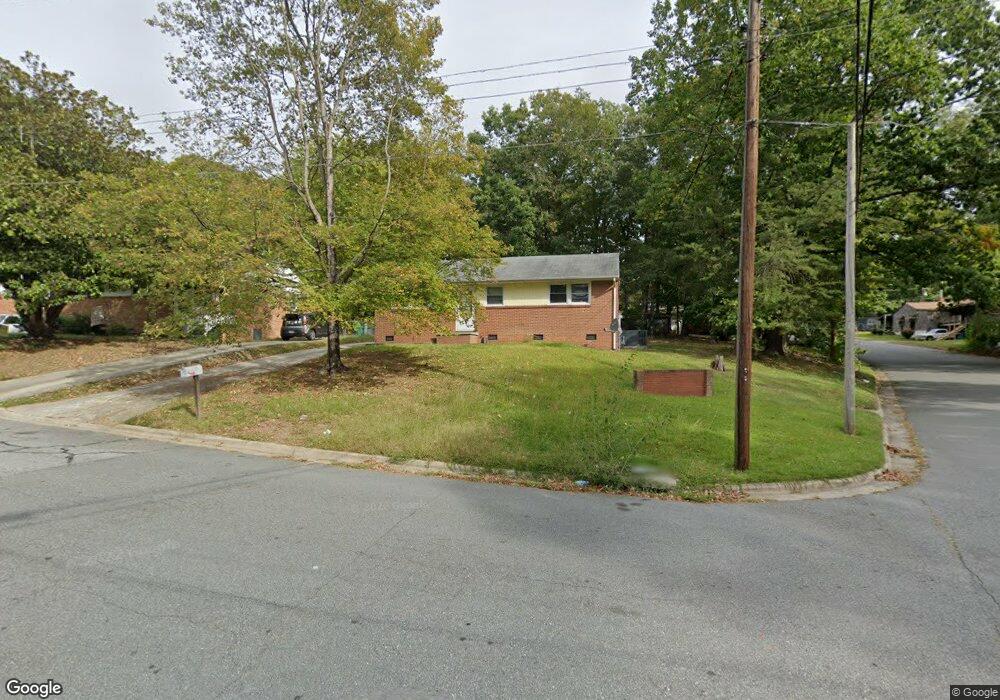
600 Ashburn St High Point, NC 27260
Greater High Point NeighborhoodEstimated Value: $133,000 - $150,092
3
Beds
1
Bath
975
Sq Ft
$144/Sq Ft
Est. Value
About This Home
This home is located at 600 Ashburn St, High Point, NC 27260 and is currently estimated at $140,273, approximately $143 per square foot. 600 Ashburn St is a home located in Guilford County with nearby schools including Parkview Village Elementary School, Southwest Guilford Middle School, and Southwest Guilford High School.
Ownership History
Date
Name
Owned For
Owner Type
Purchase Details
Closed on
Dec 14, 2021
Sold by
Duncan Donald L and Duncan Gloria W
Bought by
Rnc Holdings Llc
Current Estimated Value
Home Financials for this Owner
Home Financials are based on the most recent Mortgage that was taken out on this home.
Original Mortgage
$310,000
Interest Rate
3.09%
Mortgage Type
Commercial
Purchase Details
Closed on
Nov 2, 2009
Sold by
Wells Fargo Bank National Association
Bought by
Duncan Donald L and Duncan Gloria W
Purchase Details
Closed on
Oct 7, 2009
Sold by
Dumas Rosa B
Bought by
Wells Fargo Bank National Association
Create a Home Valuation Report for This Property
The Home Valuation Report is an in-depth analysis detailing your home's value as well as a comparison with similar homes in the area
Home Values in the Area
Average Home Value in this Area
Purchase History
| Date | Buyer | Sale Price | Title Company |
|---|---|---|---|
| Rnc Holdings Llc | $250,000 | None Available | |
| Duncan Donald L | $22,000 | None Available | |
| Wells Fargo Bank National Association | $29,200 | None Available |
Source: Public Records
Mortgage History
| Date | Status | Borrower | Loan Amount |
|---|---|---|---|
| Closed | Rnc Holdings Llc | $310,000 |
Source: Public Records
Tax History Compared to Growth
Tax History
| Year | Tax Paid | Tax Assessment Tax Assessment Total Assessment is a certain percentage of the fair market value that is determined by local assessors to be the total taxable value of land and additions on the property. | Land | Improvement |
|---|---|---|---|---|
| 2025 | $806 | $58,500 | $15,000 | $43,500 |
| 2024 | $806 | $58,500 | $15,000 | $43,500 |
| 2023 | $806 | $58,500 | $15,000 | $43,500 |
| 2022 | $789 | $58,500 | $15,000 | $43,500 |
| 2021 | $554 | $40,200 | $8,000 | $32,200 |
| 2020 | $554 | $40,200 | $8,000 | $32,200 |
| 2019 | $554 | $40,200 | $0 | $0 |
| 2018 | $551 | $40,200 | $0 | $0 |
| 2017 | $551 | $40,200 | $0 | $0 |
| 2016 | $651 | $46,400 | $0 | $0 |
| 2015 | $654 | $46,400 | $0 | $0 |
| 2014 | $665 | $46,400 | $0 | $0 |
Source: Public Records
Map
Nearby Homes
- 1602 Boundary Ave
- 1508 Boundary Ave
- 1604 Boundary Ave
- 1606 Boundary Ave
- 1528 Graves Ave
- 1515 Graves Ave
- 1402 Wendell Ave
- 1728 Brooks Ave
- 901 Circle Dr
- 1202 Dartmouth Ave
- 1702 E Martin Luther King Junior Dr
- 2406 Waverly Ct
- 1727 Lamb Ave
- 1725 Lamb Ave
- 1005 Gordon St
- 1007 Gordon St
- 408 Meredith St
- 203 Underhill St
- 837 Willow Place
- 2430 E Lexington Ave