600 Clark Ave Unit 30 Bristol, CT 06010
North Bristol NeighborhoodEstimated Value: $202,000 - $218,308
2
Beds
2
Baths
1,008
Sq Ft
$210/Sq Ft
Est. Value
About This Home
This home is located at 600 Clark Ave Unit 30, Bristol, CT 06010 and is currently estimated at $211,577, approximately $209 per square foot. 600 Clark Ave Unit 30 is a home located in Hartford County with nearby schools including West Bristol Sch, Bristol Central High School, and Immanuel Lutheran School.
Ownership History
Date
Name
Owned For
Owner Type
Purchase Details
Closed on
Apr 12, 1999
Sold by
Bourret Jay E
Bought by
Sundgrew Betsy M
Current Estimated Value
Home Financials for this Owner
Home Financials are based on the most recent Mortgage that was taken out on this home.
Original Mortgage
$54,600
Interest Rate
6.83%
Purchase Details
Closed on
Oct 22, 1996
Sold by
Reslelli Mary G
Bought by
Bourret Jay C
Home Financials for this Owner
Home Financials are based on the most recent Mortgage that was taken out on this home.
Original Mortgage
$46,500
Interest Rate
8.26%
Mortgage Type
Unknown
Create a Home Valuation Report for This Property
The Home Valuation Report is an in-depth analysis detailing your home's value as well as a comparison with similar homes in the area
Home Values in the Area
Average Home Value in this Area
Purchase History
| Date | Buyer | Sale Price | Title Company |
|---|---|---|---|
| Sundgrew Betsy M | $55,900 | -- | |
| Bourret Jay C | $49,000 | -- |
Source: Public Records
Mortgage History
| Date | Status | Borrower | Loan Amount |
|---|---|---|---|
| Open | Bourret Jay C | $78,700 | |
| Closed | Bourret Jay C | $54,600 | |
| Previous Owner | Bourret Jay C | $46,500 |
Source: Public Records
Tax History Compared to Growth
Tax History
| Year | Tax Paid | Tax Assessment Tax Assessment Total Assessment is a certain percentage of the fair market value that is determined by local assessors to be the total taxable value of land and additions on the property. | Land | Improvement |
|---|---|---|---|---|
| 2025 | $3,419 | $101,290 | $0 | $101,290 |
| 2024 | $3,226 | $101,290 | $0 | $101,290 |
| 2023 | $3,074 | $101,290 | $0 | $101,290 |
| 2022 | $2,829 | $73,780 | $0 | $73,780 |
| 2021 | $2,829 | $73,780 | $0 | $73,780 |
| 2020 | $2,829 | $73,780 | $0 | $73,780 |
| 2019 | $2,807 | $73,780 | $0 | $73,780 |
| 2018 | $2,721 | $73,780 | $0 | $73,780 |
| 2017 | $2,504 | $69,510 | $0 | $69,510 |
| 2016 | $2,504 | $69,510 | $0 | $69,510 |
| 2015 | $2,406 | $69,510 | $0 | $69,510 |
| 2014 | $2,406 | $69,510 | $0 | $69,510 |
Source: Public Records
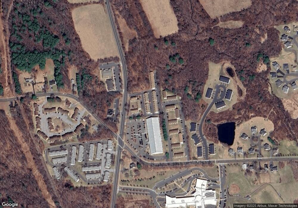
Map
Nearby Homes
- 820 Matthews St Unit 29
- 565 Clark Ave Unit 17
- 565 Clark Ave Unit 18
- 565 Clark Ave Unit 70
- 441 Clark Ave Unit 2
- 441 Clark Ave Unit 5
- 6 Ridgecrest Ln
- 26 Martin Rd
- 21 Sandra Ave
- 19 Main St
- 62 Gino Dr
- 66 Gino Dr
- 65 Gino Dr
- 17 Hoye St
- 120 Barlow St
- 14 Church St
- 321 Matthews St
- Lots 16, 18 and 22 E Hill St
- 2 Sandra Ave
- 35 James P Casey Rd
- 600 Clark Ave Unit 41
- 600 Clark Ave Unit 40
- 600 Clark Ave Unit 39
- 600 Clark Ave Unit 42
- 600 Clark Ave Unit 36
- 600 Clark Ave Unit 35
- 600 Clark Ave Unit 37
- 600 Clark Ave Unit 34
- 600 Clark Ave Unit 38
- 600 Clark Ave Unit 33
- 600 Clark Ave Unit 25
- 600 Clark Ave Unit 15
- 600 Clark Ave Unit 26
- 600 Clark Ave Unit 16
- 600 Clark Ave Unit 27
- 600 Clark Ave Unit 17
- 600 Clark Ave Unit 22
- 600 Clark Ave Unit 12
- 600 Clark Ave Unit 4
- 600 Clark Ave Unit 3