Estimated Value: $324,000 - $385,000
3
Beds
3
Baths
2,554
Sq Ft
$141/Sq Ft
Est. Value
About This Home
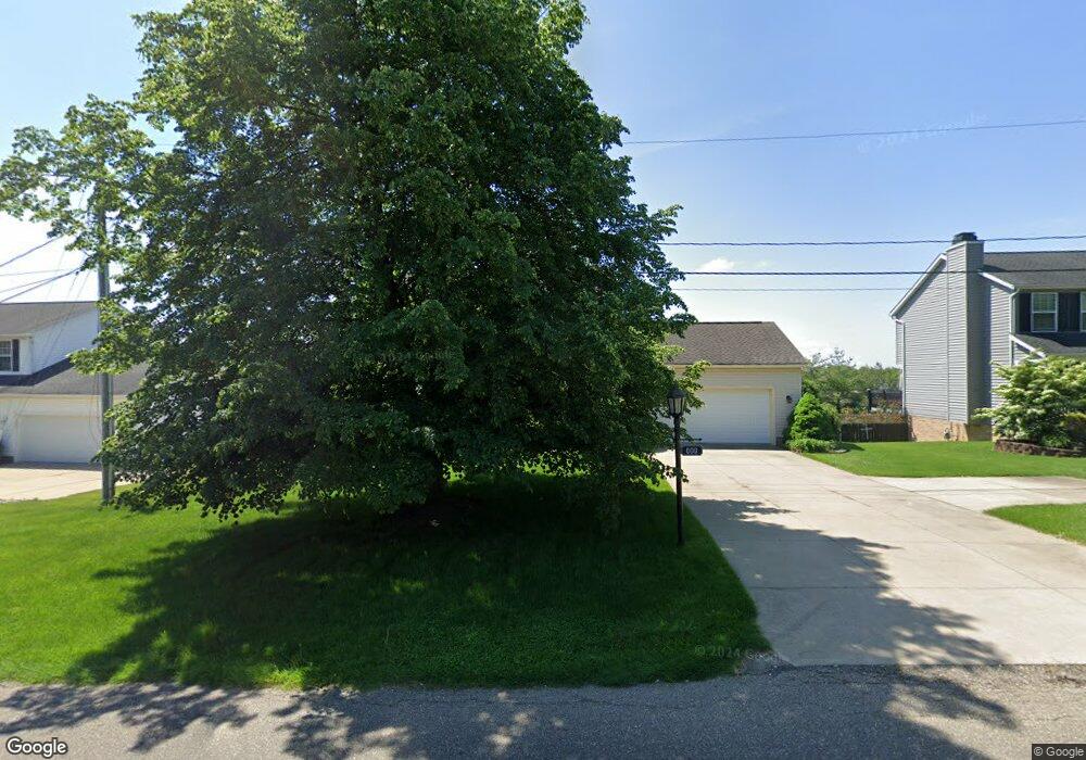
This home is located at 600 Jarvis Rd, Akron, OH 44319 and is currently estimated at $358,996, approximately $140 per square foot. 600 Jarvis Rd is a home located in Summit County with nearby schools including Greenwood Elementary School, Green Intermediate Elementary School, and Green Primary School.
Ownership History
Date
Name
Owned For
Owner Type
Purchase Details
Closed on
Jul 29, 2008
Sold by
Numbers Teresa L
Bought by
Zeis Robert E and Zeis Margaret E
Current Estimated Value
Purchase Details
Closed on
Jun 25, 2003
Sold by
Duncan Joseph C and Duncan Angela L
Bought by
Numbers Teresa L
Home Financials for this Owner
Home Financials are based on the most recent Mortgage that was taken out on this home.
Original Mortgage
$166,155
Interest Rate
5.4%
Mortgage Type
Purchase Money Mortgage
Purchase Details
Closed on
May 29, 1998
Sold by
Greenbriar Homes Inc
Bought by
Duncan Joseph C and Duncan Angela L
Home Financials for this Owner
Home Financials are based on the most recent Mortgage that was taken out on this home.
Original Mortgage
$150,100
Interest Rate
7.27%
Mortgage Type
New Conventional
Purchase Details
Closed on
Mar 8, 1996
Sold by
Robinhood Dev Ltd
Bought by
Greenbriar Homes Inc
Create a Home Valuation Report for This Property
The Home Valuation Report is an in-depth analysis detailing your home's value as well as a comparison with similar homes in the area
Home Values in the Area
Average Home Value in this Area
Purchase History
| Date | Buyer | Sale Price | Title Company |
|---|---|---|---|
| Zeis Robert E | $180,000 | Abby Title | |
| Numbers Teresa L | $174,900 | Buckeye Reserve Title Agency | |
| Duncan Joseph C | $158,130 | -- | |
| Greenbriar Homes Inc | $1,140 | -- |
Source: Public Records
Mortgage History
| Date | Status | Borrower | Loan Amount |
|---|---|---|---|
| Previous Owner | Numbers Teresa L | $166,155 | |
| Previous Owner | Duncan Joseph C | $150,100 |
Source: Public Records
Tax History Compared to Growth
Tax History
| Year | Tax Paid | Tax Assessment Tax Assessment Total Assessment is a certain percentage of the fair market value that is determined by local assessors to be the total taxable value of land and additions on the property. | Land | Improvement |
|---|---|---|---|---|
| 2025 | $4,470 | $102,617 | $21,676 | $80,941 |
| 2024 | $4,470 | $102,617 | $21,676 | $80,941 |
| 2023 | $4,470 | $102,617 | $21,676 | $80,941 |
| 2022 | $3,512 | $74,446 | $15,705 | $58,741 |
| 2021 | $3,299 | $74,446 | $15,705 | $58,741 |
| 2020 | $3,235 | $74,450 | $15,710 | $58,740 |
| 2019 | $3,152 | $68,670 | $15,240 | $53,430 |
| 2018 | $3,221 | $68,670 | $15,240 | $53,430 |
| 2017 | $2,913 | $68,670 | $15,240 | $53,430 |
| 2016 | $2,898 | $59,440 | $15,240 | $44,200 |
| 2015 | $2,913 | $59,440 | $15,240 | $44,200 |
| 2014 | $2,893 | $59,440 | $15,240 | $44,200 |
| 2013 | $2,941 | $60,020 | $15,240 | $44,780 |
Source: Public Records
Map
Nearby Homes
- 652 Bobwhite Trail
- 3113 Sparrows Crest
- 399 Abbyshire Rd
- 435 Bonshire Rd
- 341 Abbyshire Rd
- 3145 Daisy Ave
- 0 Bayview Terrace
- 0 Fortuna Dr Unit 5005346
- 960 Impala Dr
- 3845 Cayugas Dr
- 111 Magua Dr
- 3785 S Main St
- 1096 Cookhill Cir Unit 50
- 652 S Sheraton Dr
- TBD Heron Watch Dr
- 0 Sandy Beach Dr
- 1188 Cookhill Cir Unit 21
- 1254 Maxfli Dr
- 3870 S Main St
- 583 Knollwood Dr