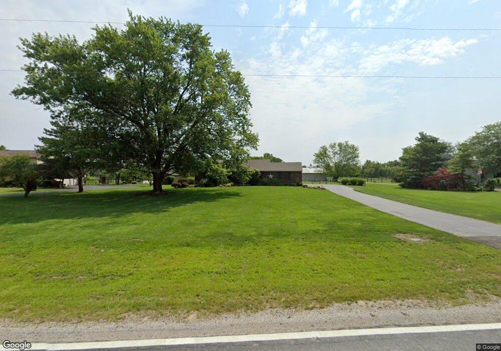
600 Murnan Rd Galloway, OH 43119
Estimated Value: $404,789 - $457,000
3
Beds
2
Baths
1,674
Sq Ft
$259/Sq Ft
Est. Value
About This Home
This home is located at 600 Murnan Rd, Galloway, OH 43119 and is currently estimated at $433,447, approximately $258 per square foot. 600 Murnan Rd is a home located in Franklin County with nearby schools including Alton Hall Elementary School, Galloway Ridge Intermediate School, and Pleasant View Middle School.
Ownership History
Date
Name
Owned For
Owner Type
Purchase Details
Closed on
Dec 3, 2021
Sold by
Lanning John H and Lanning Pauleen P
Bought by
Mccomas Betty A and Mccomas John M
Current Estimated Value
Home Financials for this Owner
Home Financials are based on the most recent Mortgage that was taken out on this home.
Original Mortgage
$300,000
Outstanding Balance
$273,682
Interest Rate
3.12%
Mortgage Type
New Conventional
Estimated Equity
$159,765
Purchase Details
Closed on
Jan 20, 1987
Bought by
Lanning John H
Create a Home Valuation Report for This Property
The Home Valuation Report is an in-depth analysis detailing your home's value as well as a comparison with similar homes in the area
Home Values in the Area
Average Home Value in this Area
Purchase History
| Date | Buyer | Sale Price | Title Company |
|---|---|---|---|
| Mccomas Betty A | $375,000 | Resource Title Llc | |
| Lanning John H | $99,000 | -- |
Source: Public Records
Mortgage History
| Date | Status | Borrower | Loan Amount |
|---|---|---|---|
| Open | Mccomas Betty A | $300,000 |
Source: Public Records
Tax History
| Year | Tax Paid | Tax Assessment Tax Assessment Total Assessment is a certain percentage of the fair market value that is determined by local assessors to be the total taxable value of land and additions on the property. | Land | Improvement |
|---|---|---|---|---|
| 2025 | $4,618 | $102,660 | $22,790 | $79,870 |
| 2024 | $4,618 | $102,660 | $22,790 | $79,870 |
| 2023 | $4,408 | $102,655 | $22,785 | $79,870 |
| 2022 | $3,831 | $71,440 | $14,980 | $56,460 |
| 2021 | $3,893 | $71,440 | $14,980 | $56,460 |
| 2020 | $3,876 | $71,440 | $14,980 | $56,460 |
| 2019 | $3,854 | $63,210 | $13,020 | $50,190 |
| 2018 | $3,726 | $63,210 | $13,020 | $50,190 |
| 2017 | $3,621 | $63,210 | $13,020 | $50,190 |
| 2016 | $3,610 | $58,170 | $9,380 | $48,790 |
| 2015 | $3,610 | $58,170 | $9,380 | $48,790 |
| 2014 | $3,613 | $58,170 | $9,380 | $48,790 |
| 2013 | $1,788 | $58,170 | $9,380 | $48,790 |
Source: Public Records
Map
Nearby Homes
- 728 Murnan Rd
- 1213 Elm Park Cir
- 6515 W Broad St
- 6489 W Broad St
- 6473 W Broad St
- 289 Fortune Dr Unit Lot 113
- 281 Fortune Dr Unit Lot 114
- 310 Fortune Dr Unit Lot 142
- 294 Fortune Dr Unit Lot 144
- 286 Fortune Dr Unit Lot 145
- 278 Fortune Dr Unit Lot 146
- 325 Rye St Unit Lot 123
- 319 Rye St Unit Lot 122
- 332 Rye St Unit Lot 53
- 320 Rye St Unit Lot 51
- 296 Rye St Unit Lot 48
- 6173 Streaming Ave Unit 192
- 628 Penn St Unit 67
- 683 Perilous Place Unit 3
- 569 Perilous Place Unit 22
Your Personal Tour Guide
Ask me questions while you tour the home.