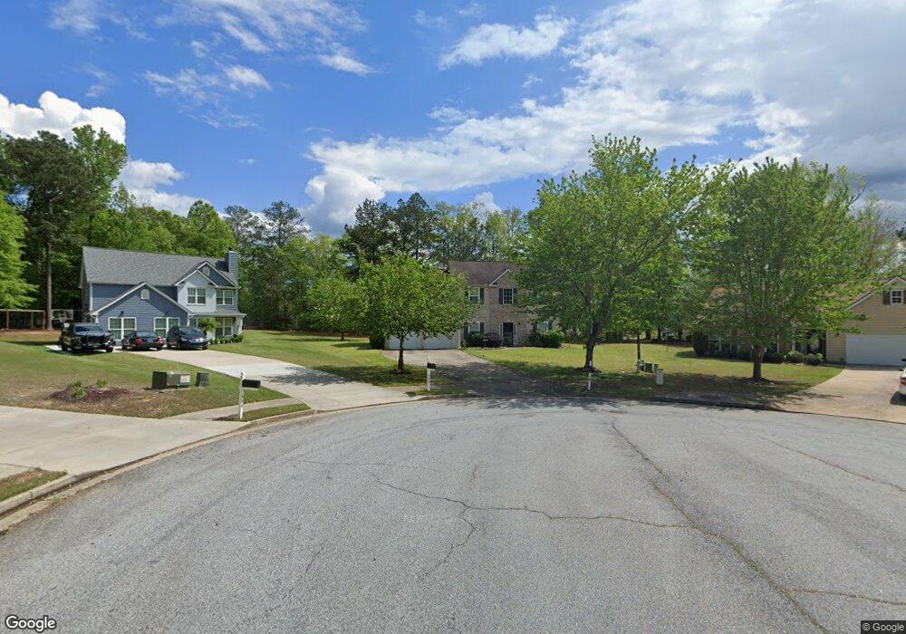
600 Penstock Path Hampton, GA 30228
Estimated Value: $310,000 - $330,000
4
Beds
3
Baths
2,452
Sq Ft
$131/Sq Ft
Est. Value
About This Home
This home is located at 600 Penstock Path, Hampton, GA 30228 and is currently estimated at $321,606, approximately $131 per square foot. 600 Penstock Path is a home located in Henry County with nearby schools including Mount Carmel Elementary School, Hampton Middle School, and Hampton High School.
Ownership History
Date
Name
Owned For
Owner Type
Purchase Details
Closed on
Feb 1, 2019
Sold by
Clarke Carol Jean Estate
Bought by
Clarke Caroljean Cynthia
Current Estimated Value
Purchase Details
Closed on
Aug 4, 2006
Sold by
Knight Group Inc
Bought by
Clarke Carol J
Home Financials for this Owner
Home Financials are based on the most recent Mortgage that was taken out on this home.
Original Mortgage
$144,132
Interest Rate
7.87%
Mortgage Type
New Conventional
Create a Home Valuation Report for This Property
The Home Valuation Report is an in-depth analysis detailing your home's value as well as a comparison with similar homes in the area
Home Values in the Area
Average Home Value in this Area
Purchase History
We collect this data history from publicly available records. To have your information removed, we recommend requesting removal directly through your county’s website.
| Date | Buyer | Sale Price | Title Company |
|---|---|---|---|
| Clarke Caroljean Cynthia | -- | -- | |
| Clarke Carol J | $180,200 | -- |
Source: Public Records
Mortgage History
We collect this data history from publicly available records. To have your information removed, we recommend requesting removal directly through your county’s website.
| Date | Status | Borrower | Loan Amount |
|---|---|---|---|
| Previous Owner | Clarke Carol J | $144,132 |
Source: Public Records
Tax History
| Year | Tax Paid | Tax Assessment Tax Assessment Total Assessment is a certain percentage of the fair market value that is determined by local assessors to be the total taxable value of land and additions on the property. | Land | Improvement |
|---|---|---|---|---|
| 2025 | $5,275 | $131,720 | $16,000 | $115,720 |
| 2024 | $5,275 | $127,720 | $16,000 | $111,720 |
| 2023 | $3,327 | $122,200 | $14,000 | $108,200 |
| 2022 | $3,269 | $98,360 | $14,000 | $84,360 |
| 2021 | $2,993 | $86,680 | $14,000 | $72,680 |
| 2020 | $3,057 | $77,920 | $10,000 | $67,920 |
| 2019 | $2,584 | $65,600 | $10,000 | $55,600 |
| 2018 | $2,613 | $66,360 | $10,000 | $56,360 |
| 2016 | $2,326 | $58,880 | $8,600 | $50,280 |
| 2015 | $2,166 | $53,040 | $8,600 | $44,440 |
| 2014 | $2,199 | $53,240 | $8,000 | $45,240 |
Source: Public Records
Map
Nearby Homes
- 80 Knolls Ridge
- 90 Overlook Trail
- 235 Creekside Cir
- 417 Ryoaks Dr
- 260 Bridgemill Ln
- 1438 Highway 3 N
- 260 Sandstone Dr
- 1201 Pendley Point
- 1200 Pendley Point
- 120 Bridgemill Dr
- 417 Sawmill Trace
- 324 Denton Way
- 248 Fern Ct
- 300 Cobb Ct
- 137 Cabin Way
- 446 Sawmill Trace
- 116 Cabin Way
- 120 Cabin Way
- .36 ACRES Elm St
- 101 River View Ct
- 604 Penstock Path
- 601 Penstock Path
- 121 Canyons Ct
- 131 Canyons Ct
- 608 Penstock Path
- 101 Canyons Ct
- 605 Penstock Path
- 612 Penstock Path
- 141 Canyons Ct
- 91 Canyons Ct
- 609 Penstock Path
- 719 Winesap Ct
- 151 Canyons Ct
- 616 Penstock Path
- 180 Fears Dr
- 81 Canyons Ct
- 705 Winesap Ct
- 110 Canyons Ct
- 120 Canyons Ct Unit 197
- 120 Canyons Ct
Your Personal Tour Guide
Ask me questions while you tour the home.