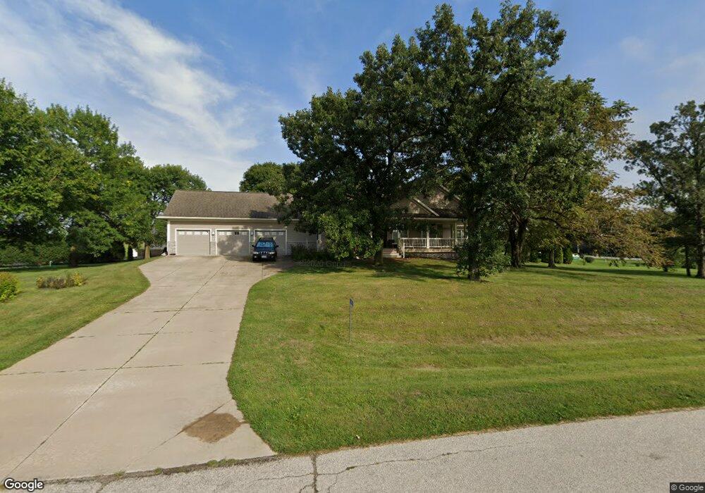
6000 Wayside Cir Cedar Rapids, IA 52411
Estimated Value: $453,000 - $537,149
3
Beds
5
Baths
2,031
Sq Ft
$251/Sq Ft
Est. Value
About This Home
This home is located at 6000 Wayside Cir, Cedar Rapids, IA 52411 and is currently estimated at $510,787, approximately $251 per square foot. 6000 Wayside Cir is a home located in Linn County with nearby schools including Viola Gibson Elementary School, Ponderosa Elementary School, and Harding Middle School.
Ownership History
Date
Name
Owned For
Owner Type
Purchase Details
Closed on
Aug 8, 2002
Sold by
Berckes Gregory Paul and Berckes Rosemary Jane
Bought by
Clayton Kenneth L and Clayton Susan M
Current Estimated Value
Home Financials for this Owner
Home Financials are based on the most recent Mortgage that was taken out on this home.
Original Mortgage
$227,135
Outstanding Balance
$90,596
Interest Rate
5.75%
Estimated Equity
$420,191
Create a Home Valuation Report for This Property
The Home Valuation Report is an in-depth analysis detailing your home's value as well as a comparison with similar homes in the area
Purchase History
| Date | Buyer | Sale Price | Title Company |
|---|---|---|---|
| Clayton Kenneth L | $31,000 | -- |
Source: Public Records
Mortgage History
| Date | Status | Borrower | Loan Amount |
|---|---|---|---|
| Open | Clayton Kenneth L | $227,135 |
Source: Public Records
Tax History
| Year | Tax Paid | Tax Assessment Tax Assessment Total Assessment is a certain percentage of the fair market value that is determined by local assessors to be the total taxable value of land and additions on the property. | Land | Improvement |
|---|---|---|---|---|
| 2025 | $5,276 | $527,500 | $65,000 | $462,500 |
| 2024 | $490 | $471,900 | $65,000 | $406,900 |
| 2023 | $490 | $471,900 | $65,000 | $406,900 |
| 2022 | $538 | $377,000 | $65,000 | $312,000 |
| 2021 | $5,426 | $377,000 | $65,000 | $312,000 |
| 2020 | $5,426 | $367,900 | $50,000 | $317,900 |
| 2019 | $4,886 | $338,900 | $50,000 | $288,900 |
| 2018 | $4,780 | $338,900 | $50,000 | $288,900 |
| 2017 | $4,897 | $331,900 | $50,000 | $281,900 |
| 2016 | $4,897 | $331,900 | $50,000 | $281,900 |
| 2015 | $4,929 | $331,900 | $50,000 | $281,900 |
| 2014 | $4,800 | $331,900 | $50,000 | $281,900 |
| 2013 | $4,702 | $331,900 | $50,000 | $281,900 |
Source: Public Records
Map
Nearby Homes
- 6524 Michael Dr NE
- 4675 Leprechaun Ln
- 6718 Lauder Ln
- 6720 Caldwell Ln
- 5871 Shiloh Ln
- 5843 Wells Ln
- 5012 Autumn Dr
- 5854 Wells Ln
- 4362 Cloverdale Rd
- 6505 Blairs Ferry Rd
- 344 Worthington Ct
- 5180 Chestnut Valley Rd
- 4620 Prairie Stone Dr NE
- 4408 Prairie Stone Dr NE
- 4510 Prairie Stone Dr NE
- Lot 1A Buffalo Ridge Dr NE
- 4620 N River Blvd NE
- 1845 Lyndhurst Dr
- Lot 11 Cross Pointe Blvd NE
- Lot 12 Cross Pointe Blvd NE
- 6060 Wayside Cir
- 6035 Wayside Cir
- 6125 Wayside Cir
- 4490 Blairs Ferry Rd NE
- 4490 Blairs Ferry Rd
- 4501 Blairs Ferry Rd
- 4600 Leprechaun Ln
- 6215 Wayside Cir
- 4600 Blairs Ferry Rd
- 6150 Wayside Cir
- 5614 Antler Dr
- 4660 Leprechaun Ln
- 6275 Wayside Cir
- 6180 Wayside Cir
- 4480 Blairs Ferry Rd
- 6395 Wayside Cir
- 4680 Leprechaun Ln
- 6240 Wayside Cir
- 4701 Blairs Ferry Rd NE
- 6375 Wayside Cir
Your Personal Tour Guide
Ask me questions while you tour the home.