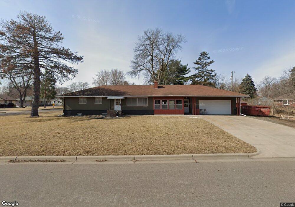
6001 Ewing Ave N Minneapolis, MN 55429
Kylawn NeighborhoodEstimated Value: $303,000 - $335,000
3
Beds
2
Baths
1,310
Sq Ft
$245/Sq Ft
Est. Value
About This Home
This home is located at 6001 Ewing Ave N, Minneapolis, MN 55429 and is currently estimated at $320,637, approximately $244 per square foot. 6001 Ewing Ave N is a home located in Hennepin County with nearby schools including Northport Elementary School, Robbinsdale Middle School, and Robbinsdale Cooper Senior High School.
Ownership History
Date
Name
Owned For
Owner Type
Purchase Details
Closed on
Apr 5, 2018
Sold by
Clark Eugene D and Clark Beverly Ann
Bought by
Clark Eugene D and Clark Dennis C
Current Estimated Value
Home Financials for this Owner
Home Financials are based on the most recent Mortgage that was taken out on this home.
Original Mortgage
$150,000
Outstanding Balance
$128,877
Interest Rate
4.4%
Mortgage Type
Future Advance Clause Open End Mortgage
Estimated Equity
$191,760
Purchase Details
Closed on
Mar 30, 2018
Sold by
Clark Eugene D and Clark Dennis C
Bought by
Caliguire Chris
Home Financials for this Owner
Home Financials are based on the most recent Mortgage that was taken out on this home.
Original Mortgage
$150,000
Outstanding Balance
$128,877
Interest Rate
4.4%
Mortgage Type
Future Advance Clause Open End Mortgage
Estimated Equity
$191,760
Purchase Details
Closed on
Apr 10, 2015
Sold by
Clark Eugene D and Holte Kathy L
Bought by
Clark Eugene D
Create a Home Valuation Report for This Property
The Home Valuation Report is an in-depth analysis detailing your home's value as well as a comparison with similar homes in the area
Home Values in the Area
Average Home Value in this Area
Purchase History
| Date | Buyer | Sale Price | Title Company |
|---|---|---|---|
| Clark Eugene D | -- | Results Title | |
| Caliguire Chris | $210,000 | Results Title | |
| Clark Eugene D | -- | None Available |
Source: Public Records
Mortgage History
| Date | Status | Borrower | Loan Amount |
|---|---|---|---|
| Open | Caliguire Chris | $150,000 |
Source: Public Records
Tax History Compared to Growth
Tax History
| Year | Tax Paid | Tax Assessment Tax Assessment Total Assessment is a certain percentage of the fair market value that is determined by local assessors to be the total taxable value of land and additions on the property. | Land | Improvement |
|---|---|---|---|---|
| 2024 | $4,082 | $284,100 | $99,000 | $185,100 |
| 2023 | $3,587 | $257,200 | $71,000 | $186,200 |
| 2022 | $3,215 | $264,000 | $84,000 | $180,000 |
| 2021 | $3,287 | $226,000 | $70,000 | $156,000 |
| 2020 | $3,456 | $217,000 | $69,000 | $148,000 |
| 2019 | $3,328 | $221,000 | $69,000 | $152,000 |
| 2018 | $2,624 | $202,000 | $60,000 | $142,000 |
| 2017 | $2,388 | $177,000 | $46,000 | $131,000 |
| 2016 | $2,052 | $155,100 | $44,500 | $110,600 |
| 2015 | -- | $150,300 | $39,500 | $110,800 |
| 2014 | -- | $129,200 | $34,400 | $94,800 |
Source: Public Records
Map
Nearby Homes
- 5932 Admiral Ln N
- 5808 Pearson Dr
- 5913 Zenith Ave N
- 6019 Zenith Ave N
- 5809 Pearson Dr
- 4309 63rd Ave N
- 3917 Eckberg Dr
- 2813 Ohenry Rd
- 3113 65th Ave N
- 4710 58th Ave N Unit 208
- 4710 58th Ave N Unit 219
- 4710 58th Ave N Unit 221
- 4710 58th Ave N Unit 319
- 4710 58th Ave N Unit 301
- 2812 64th Ave N
- 5427 Twin Lake Blvd E
- 5337 Sailor Ln
- 5300 France Ave N
- 6318 Perry Ave N
- 5924 Regent Ave N
- 6013 Ewing Ave N
- 5949 Admiral Ln N
- 3607 Commodore Dr
- 6006 Ewing Ave N
- 6000 Ewing Ave N
- 5956 Admiral Ln N
- 6012 Ewing Ave N
- 5952 Admiral Ln N
- 3613 Commodore Dr
- 5945 Admiral Ln N
- 5948 Admiral Ln N
- 6018 Ewing Ave N
- 3619 Commodore Dr
- 5944 Admiral Ln N
- 6024 Ewing Ave N
- 5941 Admiral Ln N
- 6007 Brooklyn Blvd
- 6013 Brooklyn Blvd
- 6001 Brooklyn Blvd
- 5929 Ewing Ave N